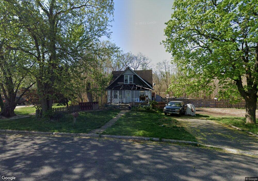
236 Winthrop Ave Moorestown, NJ 08057
Estimated Value: $342,000 - $407,000
--
Bed
--
Bath
1,248
Sq Ft
$294/Sq Ft
Est. Value
About This Home
This home is located at 236 Winthrop Ave, Moorestown, NJ 08057 and is currently estimated at $367,124, approximately $294 per square foot. 236 Winthrop Ave is a home located in Burlington County with nearby schools including Mary E. Roberts Elementary School, Moorestown Upper Elementary School, and William Allen Middle School.
Ownership History
Date
Name
Owned For
Owner Type
Purchase Details
Closed on
Feb 9, 1998
Sold by
Yasuda Bank & Trust Company Usa
Bought by
Cooney Christopher
Current Estimated Value
Home Financials for this Owner
Home Financials are based on the most recent Mortgage that was taken out on this home.
Original Mortgage
$72,100
Interest Rate
6.52%
Purchase Details
Closed on
Mar 3, 1997
Sold by
Daniels Gary L
Bought by
Yasuda Bank & Trust Company Usa
Create a Home Valuation Report for This Property
The Home Valuation Report is an in-depth analysis detailing your home's value as well as a comparison with similar homes in the area
Home Values in the Area
Average Home Value in this Area
Purchase History
| Date | Buyer | Sale Price | Title Company |
|---|---|---|---|
| Cooney Christopher | $69,500 | Federation Title Agency Inc | |
| Yasuda Bank & Trust Company Usa | -- | -- |
Source: Public Records
Mortgage History
| Date | Status | Borrower | Loan Amount |
|---|---|---|---|
| Previous Owner | Cooney Christopher | $72,100 |
Source: Public Records
Tax History Compared to Growth
Tax History
| Year | Tax Paid | Tax Assessment Tax Assessment Total Assessment is a certain percentage of the fair market value that is determined by local assessors to be the total taxable value of land and additions on the property. | Land | Improvement |
|---|---|---|---|---|
| 2025 | $4,935 | $172,600 | $89,400 | $83,200 |
| 2024 | $4,786 | $172,600 | $89,400 | $83,200 |
| 2023 | $4,786 | $172,600 | $89,400 | $83,200 |
| 2022 | $4,762 | $172,600 | $89,400 | $83,200 |
| 2021 | $4,702 | $172,600 | $89,400 | $83,200 |
| 2020 | $4,671 | $172,600 | $89,400 | $83,200 |
| 2019 | $4,586 | $172,600 | $89,400 | $83,200 |
| 2018 | $4,451 | $172,600 | $89,400 | $83,200 |
| 2017 | $4,481 | $172,600 | $89,400 | $83,200 |
| 2016 | $4,460 | $172,600 | $89,400 | $83,200 |
| 2015 | $4,401 | $172,600 | $89,400 | $83,200 |
| 2014 | $4,186 | $172,600 | $89,400 | $83,200 |
Source: Public Records
Map
Nearby Homes
- 198 S Lincoln Ave
- 116 S Lincoln Ave
- 114 Grant Ave
- 18 Whittier Ave
- 101 S Lenola Rd
- 112 Beacon St
- 5 Domenica Dr
- 12 Vincent Way
- 18 Vincent Way
- 206 E Camden Ave
- 115 E Kings Hwy Unit 443
- 115 E Kings Hwy Unit 444
- 115 E Kings Hwy Unit 386
- 115 E Kings Hwy Unit 442
- 115 E Kings Hwy Unit 216
- 115 E Kings Hwy Unit 319
- 115 E Kings Hwy Unit 410
- 115 E Kings Hwy Unit 334
- 136 Chalkboard Ct
- 512 Regenhard Ave
- 232 Winthrop Ave
- 230 Winthrop Ave
- 130 Grant Ave
- 231 Winthrop Ave
- 224 Winthrop Ave
- 119 Grant Ave
- 122 Grant Ave
- 216 Winthrop Ave
- 202 S Lincoln Ave Unit B
- 202 S Lincoln Ave Unit A
- 202 S Lincoln Ave Unit Upstairs - Unit B
- 202 S Lincoln Ave Unit 2ND FL
- 202 S Lincoln Ave
- 208 S Lincoln Ave
- 212 S Lincoln Ave
- 111 Grant Ave
- 214 S Lincoln Ave
- 210 Winthrop Ave
- 216 S Lincoln Ave
- 106 Grant Ave