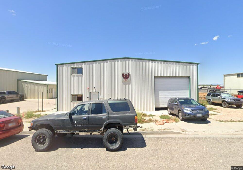
2360 Aviation Way Cedar City, UT 84721
--
Bed
--
Bath
3,850
Sq Ft
0.27
Acres
About This Home
This home is located at 2360 Aviation Way, Cedar City, UT 84721. 2360 Aviation Way is a home located in Iron County with nearby schools including Iron Springs School, Cedar Middle School, and Cedar City High School.
Ownership History
Date
Name
Owned For
Owner Type
Purchase Details
Closed on
Sep 15, 2020
Sold by
Worldlink Aviation Services Llc
Bought by
Southern Utah University
Purchase Details
Closed on
Apr 11, 2017
Sold by
Jones Don W
Bought by
Lj Aircraft Llc
Home Financials for this Owner
Home Financials are based on the most recent Mortgage that was taken out on this home.
Interest Rate
4.1%
Create a Home Valuation Report for This Property
The Home Valuation Report is an in-depth analysis detailing your home's value as well as a comparison with similar homes in the area
Home Values in the Area
Average Home Value in this Area
Purchase History
| Date | Buyer | Sale Price | Title Company |
|---|---|---|---|
| Southern Utah University | -- | Inwest Title Services | |
| Lj Aircraft Llc | -- | -- |
Source: Public Records
Mortgage History
| Date | Status | Borrower | Loan Amount |
|---|---|---|---|
| Previous Owner | Lj Aircraft Llc | -- |
Source: Public Records
Tax History Compared to Growth
Tax History
| Year | Tax Paid | Tax Assessment Tax Assessment Total Assessment is a certain percentage of the fair market value that is determined by local assessors to be the total taxable value of land and additions on the property. | Land | Improvement |
|---|---|---|---|---|
| 2025 | -- | -- | -- | -- |
| 2023 | $0 | $0 | $0 | $0 |
| 2022 | $0 | $0 | $0 | $0 |
| 2021 | $0 | $0 | $0 | $0 |
| 2020 | $882 | $120,045 | $0 | $120,045 |
| 2019 | $1,301 | $120,045 | $0 | $120,045 |
| 2018 | $1,345 | $120,045 | $0 | $120,045 |
| 2017 | $1,366 | $120,045 | $0 | $120,045 |
| 2016 | $1,334 | $109,130 | $0 | $109,130 |
| 2015 | $1,407 | $109,130 | $0 | $0 |
| 2014 | $1,659 | $120,400 | $0 | $0 |
Source: Public Records
Map
Nearby Homes
- 799 N 2325 W
- 2502 W 850 N
- 4482 W 250 N
- 4591 W 250 N
- 300 N Airport Rd
- 305 N Airport Rd
- 960 N 1400 W
- 6661 W 1600 N Unit Block K lot 2
- 6643 W 1600 N Unit Block K Lot 1
- 147.9141 Ac Feet Water 73-1201
- 495 N 2150 W
- 147.9141 Acre Ft Water Right 73-1201
- 4283 W Highway 56 Unit 7
- 4075 W Lund Hwy
- 5400 N 3100 W
- 1 Acre Fort
- 1130 N Indigo St Unit 1093
- 339 N Tahquitz Dr
- 1222 N Cedar Blvd
- 827 W 1175 N Unit 56
- Lot 9 Aviation Way Phase 1
- 2370 Aviation Way
- 2380 Aviation Way
- 2380 Aviation Way Unit OWNER IS MOTIVATED
- 2402 Aviation Way
- 2410 Aviation Way
- 2208 Aviation Way
- 2331 W Park Ave
- 2331 Park Ave
- 2565 Aviation Way St
- 1024 N Production Rd
- Phase 1 Aviation Way
- 2183 Park Ave
- A-1 N 2344 Industry Way
- Bld-C N 2344 Industry Way
- B-8 N 2344 Industry Way
- 2344 W Industry Way
- 2344 W Industry Way
- 2344 W Industry Way
- 2344 W Industry Way Unit Ste. 1