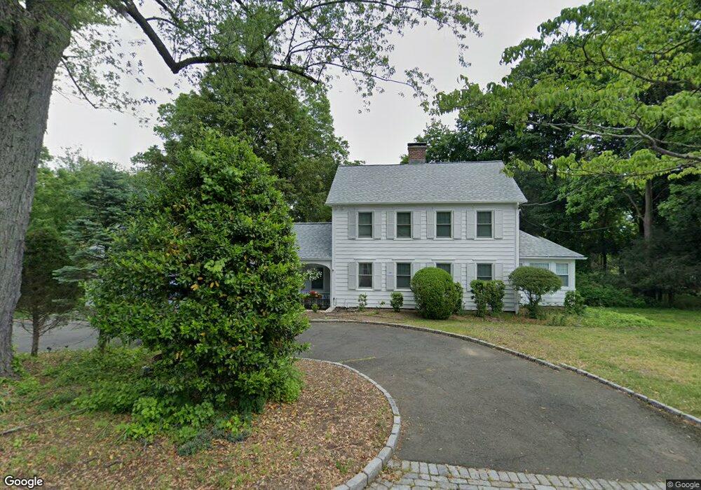
2360 Bronson Rd Fairfield, CT 06824
Greenfield Hill NeighborhoodEstimated Value: $1,271,032 - $1,647,000
3
Beds
4
Baths
2,784
Sq Ft
$540/Sq Ft
Est. Value
About This Home
This home is located at 2360 Bronson Rd, Fairfield, CT 06824 and is currently estimated at $1,502,508, approximately $539 per square foot. 2360 Bronson Rd is a home located in Fairfield County with nearby schools including Dwight Elementary School, Roger Ludlowe Middle School, and Fairfield Ludlowe High School.
Ownership History
Date
Name
Owned For
Owner Type
Purchase Details
Closed on
Sep 15, 1994
Sold by
Schmermund Judith
Bought by
Deluca Jeffrey and Deluca Pamela
Current Estimated Value
Create a Home Valuation Report for This Property
The Home Valuation Report is an in-depth analysis detailing your home's value as well as a comparison with similar homes in the area
Home Values in the Area
Average Home Value in this Area
Purchase History
| Date | Buyer | Sale Price | Title Company |
|---|---|---|---|
| Deluca Jeffrey | $450,000 | -- | |
| Deluca Jeffrey | $450,000 | -- |
Source: Public Records
Mortgage History
| Date | Status | Borrower | Loan Amount |
|---|---|---|---|
| Open | Deluca Jeffrey | $832,000 | |
| Closed | Deluca Jeffrey | $688,000 | |
| Closed | Deluca Jeffrey | $624,000 |
Source: Public Records
Tax History Compared to Growth
Tax History
| Year | Tax Paid | Tax Assessment Tax Assessment Total Assessment is a certain percentage of the fair market value that is determined by local assessors to be the total taxable value of land and additions on the property. | Land | Improvement |
|---|---|---|---|---|
| 2025 | $13,247 | $466,620 | $245,280 | $221,340 |
| 2024 | $13,019 | $466,620 | $245,280 | $221,340 |
| 2023 | $12,837 | $466,620 | $245,280 | $221,340 |
| 2022 | $12,591 | $462,210 | $245,280 | $216,930 |
| 2021 | $12,470 | $462,210 | $245,280 | $216,930 |
| 2020 | $14,828 | $553,490 | $297,080 | $256,410 |
| 2019 | $14,828 | $553,490 | $297,080 | $256,410 |
| 2018 | $14,590 | $553,490 | $297,080 | $256,410 |
| 2017 | $14,291 | $553,490 | $297,080 | $256,410 |
| 2016 | $14,086 | $553,490 | $297,080 | $256,410 |
| 2015 | $14,530 | $586,110 | $342,720 | $243,390 |
| 2014 | $14,301 | $586,110 | $342,720 | $243,390 |
Source: Public Records
Map
Nearby Homes
- 2683 Bronson Rd
- 688 Hulls Farm Rd
- 360 Duck Farm Rd
- 33 Middlebrook Place
- 1 Sturges Hwy Unit Lot 1
- 1 Sturges Hwy Unit 2
- 105 Charter Oak Rd
- 1084 Sturges Hwy
- 844 Mill Hill Terrace
- 338 Orchard Hill Ln
- 647 Bronson Rd
- 10 Debra Ln
- 1 Boxwood Ln
- 21 Sturges Commons
- 153 Pease Ave
- 1207 Stillson Rd
- 2959 Congress St
- 125 Old Rd
- 1 Coastal Ct
- 30 Osborne Place
- 2424 Bronson Rd
- 310 Governors Ln
- 2444 Bronson Rd
- 2300 Bronson Rd
- 2419 Bronson Rd
- 2347 Bronson Rd
- 2477 Bronson Rd
- 345 Governors Ln
- 120 Redding Rd
- 2502 Bronson Rd
- 158 Redding Rd
- 421 Governors Ln
- 190 Governors Ln
- 2505 Bronson Rd
- 190 Redding Rd
- 109 Governors Ln
- 2527 Bronson Rd
- 103 Governors Ln
- 155 Governors Ln
- 75 Redding Rd