2360 Castle Rd Ann Arbor, MI 48103
Estimated Value: $239,097 - $372,000
--
Bed
--
Bath
--
Sq Ft
3.15
Acres
About This Home
This home is located at 2360 Castle Rd, Ann Arbor, MI 48103 and is currently estimated at $325,699. 2360 Castle Rd is a home located in Washtenaw County with nearby schools including Lakewood Elementary School, Slauson Middle School, and Pioneer High School.
Ownership History
Date
Name
Owned For
Owner Type
Purchase Details
Closed on
Apr 21, 2021
Sold by
Grenham Randall
Bought by
Walter Gerd T and Walter Shannon
Current Estimated Value
Home Financials for this Owner
Home Financials are based on the most recent Mortgage that was taken out on this home.
Original Mortgage
$152,000
Outstanding Balance
$137,238
Interest Rate
3%
Mortgage Type
New Conventional
Estimated Equity
$188,461
Purchase Details
Closed on
Nov 21, 1994
Sold by
Wagner Michael A
Bought by
Baslock Allen M and Baslock Theda J
Create a Home Valuation Report for This Property
The Home Valuation Report is an in-depth analysis detailing your home's value as well as a comparison with similar homes in the area
Home Values in the Area
Average Home Value in this Area
Purchase History
| Date | Buyer | Sale Price | Title Company |
|---|---|---|---|
| Walter Gerd T | $190,000 | None Available | |
| Baslock Allen M | -- | -- |
Source: Public Records
Mortgage History
| Date | Status | Borrower | Loan Amount |
|---|---|---|---|
| Open | Walter Gerd T | $152,000 |
Source: Public Records
Tax History Compared to Growth
Tax History
| Year | Tax Paid | Tax Assessment Tax Assessment Total Assessment is a certain percentage of the fair market value that is determined by local assessors to be the total taxable value of land and additions on the property. | Land | Improvement |
|---|---|---|---|---|
| 2025 | $2,974 | $62,900 | $0 | $0 |
| 2024 | $2,974 | $62,900 | $0 | $0 |
| 2023 | $1,929 | $57,900 | $0 | $0 |
| 2022 | $1,031 | $57,900 | $0 | $0 |
| 2021 | $613 | $52,900 | $0 | $0 |
| 2020 | $209 | $47,900 | $0 | $0 |
| 2019 | $572 | $51,200 | $51,200 | $0 |
| 2018 | $549 | $51,200 | $0 | $0 |
| 2017 | $534 | $51,200 | $0 | $0 |
| 2016 | $0 | $10,981 | $0 | $0 |
| 2015 | -- | $10,949 | $0 | $0 |
| 2014 | -- | $10,608 | $0 | $0 |
| 2013 | -- | $10,608 | $0 | $0 |
Source: Public Records
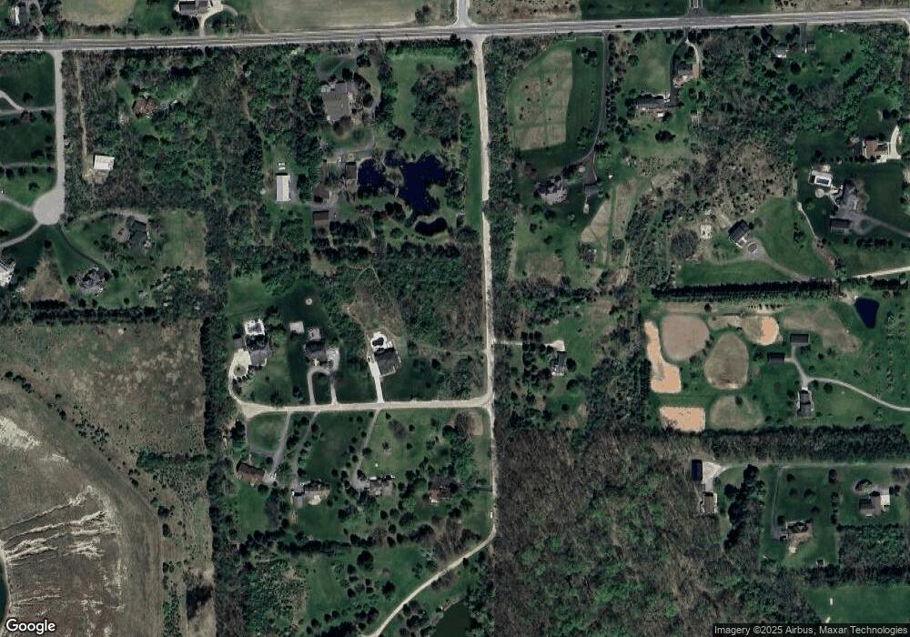
Map
Nearby Homes
- 4944 Scio Church Rd
- 1840 Tapadera Dr
- The Champlain Plan at Cranbrook of Scio
- The Vallecito Plan at Cranbrook of Scio
- The Palisade Plan at Cranbrook of Scio
- The Marion Plan at Cranbrook of Scio
- The Granada Plan at Cranbrook of Scio
- The Lucerne Plan at Cranbrook of Scio
- #24 Loon Ln
- #53 Loon Ln
- 2001 Commerce Dr
- 6577 Heron Ct Unit 14
- 4257 Loon Ln
- 4261 Loon Ln
- 4445 Oriole Ct
- 4229 Loon Ln
- 1860 Chicory Ridge
- 4336 Sparrow St
- 560 Little Lake Dr Unit 23
- 4290 Duck Dr Unit 18
- 2360 Castle Dr
- 2355 Estates Ct
- 2355 Castle Rd
- 2343 Estates Ct
- 2348 Estates Ct
- 2402 Castle Rd
- 4707 Scio Church Rd
- 2285 Estates Ct
- 2322 Estates Ct
- 4811 Scio Church Rd
- 2296 Estates Ct
- 2250 Tessmer Rd
- 2150 Scio Church Ct
- 2292 Tessmer Rd
- 4645 Scio Church Rd
- 2100 Tessmer Rd
- 2124 Scio Church Ct
- 4941 Scio Church Rd
- 2446 Castle Rd
- 2324 Tessmer Rd