2360 Chestnut Bend Unit 49 Howell, MI 48855
Estimated Value: $323,533 - $348,000
3
Beds
2
Baths
1,343
Sq Ft
$253/Sq Ft
Est. Value
About This Home
This home is located at 2360 Chestnut Bend Unit 49, Howell, MI 48855 and is currently estimated at $339,633, approximately $252 per square foot. 2360 Chestnut Bend Unit 49 is a home located in Livingston County with nearby schools including Ruahmah J. Hutchings Elementary, Parker Middle School, and Howell High School.
Ownership History
Date
Name
Owned For
Owner Type
Purchase Details
Closed on
Mar 11, 2020
Sold by
Geminick Mindy D
Bought by
Geminick Mindy D
Current Estimated Value
Purchase Details
Closed on
Mar 19, 2003
Sold by
Geminick Mindy D and Geminick Daniel B
Bought by
Geminick Mindy G
Home Financials for this Owner
Home Financials are based on the most recent Mortgage that was taken out on this home.
Original Mortgage
$115,000
Outstanding Balance
$48,824
Interest Rate
5.71%
Mortgage Type
Purchase Money Mortgage
Estimated Equity
$290,809
Purchase Details
Closed on
Jan 15, 1999
Sold by
Centennial Homes Inc
Bought by
Geminick Daniel B and Geminick Mindy D
Purchase Details
Closed on
Jan 5, 1999
Sold by
M & 59 Inc
Bought by
Centennial Homes Inc
Create a Home Valuation Report for This Property
The Home Valuation Report is an in-depth analysis detailing your home's value as well as a comparison with similar homes in the area
Home Values in the Area
Average Home Value in this Area
Purchase History
| Date | Buyer | Sale Price | Title Company |
|---|---|---|---|
| Geminick Mindy D | -- | None Available | |
| Geminick Mindy G | -- | Metropolitan Title Co | |
| Geminick Daniel B | $153,900 | -- | |
| Centennial Homes Inc | $32,500 | -- |
Source: Public Records
Mortgage History
| Date | Status | Borrower | Loan Amount |
|---|---|---|---|
| Open | Geminick Mindy G | $115,000 |
Source: Public Records
Tax History Compared to Growth
Tax History
| Year | Tax Paid | Tax Assessment Tax Assessment Total Assessment is a certain percentage of the fair market value that is determined by local assessors to be the total taxable value of land and additions on the property. | Land | Improvement |
|---|---|---|---|---|
| 2025 | $1,390 | $148,900 | $0 | $0 |
| 2024 | $1,350 | $145,000 | $0 | $0 |
| 2023 | $1,289 | $130,500 | $0 | $0 |
| 2022 | $593 | $108,400 | $0 | $0 |
| 2021 | $1,786 | $114,300 | $0 | $0 |
| 2020 | $1,807 | $108,400 | $0 | $0 |
| 2019 | $1,781 | $98,800 | $0 | $0 |
| 2018 | $1,759 | $93,200 | $0 | $0 |
| 2017 | $1,736 | $90,300 | $0 | $0 |
| 2016 | $1,727 | $86,900 | $0 | $0 |
| 2014 | $1,951 | $73,200 | $0 | $0 |
| 2012 | $1,951 | $67,800 | $0 | $0 |
Source: Public Records
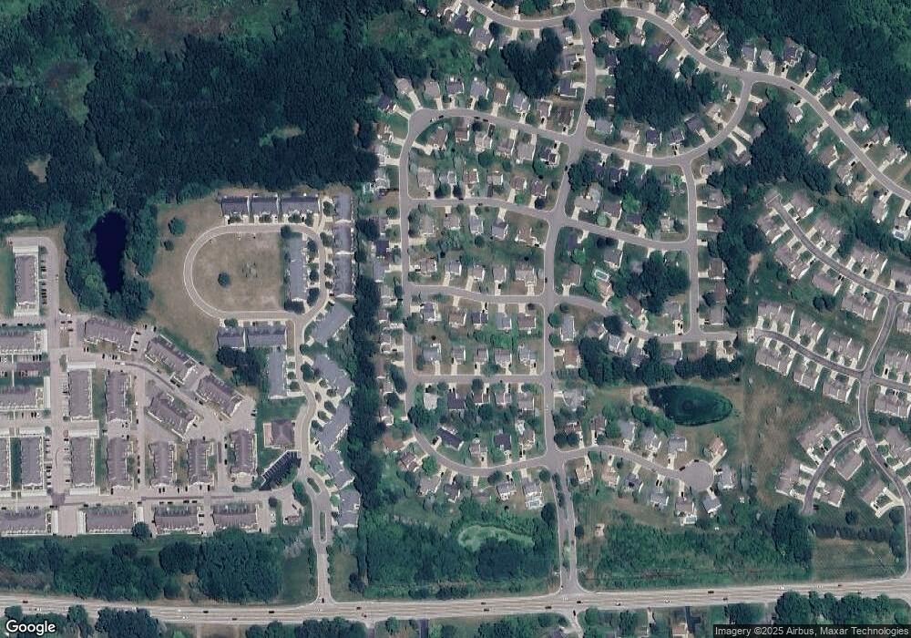
Map
Nearby Homes
- 2511 Kerria Dr Unit 42
- 2495 Moore Place
- 1570 Princewood Blvd
- 1400 Oakcrest Rd
- 1633 Frech Ln
- VACANT LOT Thompson Shore Dr
- 3040 Bogues View Dr
- 475 Cannonade Loop
- 559 Cannonade Loop
- 571 Cannonade Loop
- 523 Cannonade Loop
- 583 Cannonade Loop
- The Austin Plan at Broadmoor
- The Charlotte Plan at Broadmoor
- The Harrison Plan at Broadmoor
- The Bloomington Plan at Broadmoor
- The Columbia Plan at Broadmoor
- 304 Victoria Park Dr Unit 45
- 2653 Ravine Side N
- 2500 Fisher Rd
- 2360 Hickory Circle Dr
- 2366 Chestnut Bend Unit 48
- 2359 Redbud Dr Unit 52
- 2351 Redbud Dr
- 2372 Chestnut Bend
- 2357 Chestnut Bend
- 2363 Redbud Dr
- 2363 Chestnut Bend
- 2353 Chestnut Bend
- 2371 Chestnut Bend Unit 31
- 2369 Redbud Dr
- 2378 Chestnut Bend Unit 46
- 2357 Hickory Circle Dr Unit 25
- 2363 Hickory Circle Dr Unit 26
- 2351 Hickory Circle Dr
- 2377 Chestnut Bend
- 2375 Redbud Dr
- 2358 Redbud Dr Unit 60
- 2369 Hickory Circle Dr
- 2345 Hickory Circle Dr