Estimated Value: $333,000 - $356,000
3
Beds
2
Baths
1,504
Sq Ft
$229/Sq Ft
Est. Value
About This Home
This home is located at 2360 Daniel St, Niles, MI 49120 and is currently estimated at $344,748, approximately $229 per square foot. 2360 Daniel St is a home located in Berrien County with nearby schools including Ottawa Elementary School, Moccasin Elementary School, and Buchanan Middle School.
Ownership History
Date
Name
Owned For
Owner Type
Purchase Details
Closed on
Aug 19, 2024
Sold by
Foust Aaron Edward
Bought by
Foust Aaron Edward and Foust Cloey Ann
Current Estimated Value
Purchase Details
Closed on
Jul 12, 2024
Sold by
Foust Tasha Nicole
Bought by
Foust Aaron Edward
Purchase Details
Closed on
Jun 24, 2022
Sold by
Roberts Brian L and Roberts Brenda R
Bought by
Foust Aaron Edward and Foust Tasha Nicole
Home Financials for this Owner
Home Financials are based on the most recent Mortgage that was taken out on this home.
Original Mortgage
$210,000
Interest Rate
5.1%
Mortgage Type
New Conventional
Purchase Details
Closed on
May 22, 1998
Create a Home Valuation Report for This Property
The Home Valuation Report is an in-depth analysis detailing your home's value as well as a comparison with similar homes in the area
Home Values in the Area
Average Home Value in this Area
Purchase History
| Date | Buyer | Sale Price | Title Company |
|---|---|---|---|
| Foust Aaron Edward | -- | None Listed On Document | |
| Foust Aaron Edward | -- | None Listed On Document | |
| Foust Aaron Edward | -- | None Listed On Document | |
| Foust Aaron Edward | $305,000 | Mollison Law Offices Pc | |
| -- | $22,500 | -- |
Source: Public Records
Mortgage History
| Date | Status | Borrower | Loan Amount |
|---|---|---|---|
| Previous Owner | Foust Aaron Edward | $210,000 |
Source: Public Records
Tax History
| Year | Tax Paid | Tax Assessment Tax Assessment Total Assessment is a certain percentage of the fair market value that is determined by local assessors to be the total taxable value of land and additions on the property. | Land | Improvement |
|---|---|---|---|---|
| 2025 | $3,643 | $141,600 | $0 | $0 |
| 2024 | $1,453 | $134,900 | $0 | $0 |
| 2023 | $1,391 | $129,200 | $0 | $0 |
| 2022 | $906 | $115,100 | $0 | $0 |
| 2021 | $2,178 | $111,900 | $10,300 | $101,600 |
| 2020 | $2,149 | $103,500 | $0 | $0 |
| 2019 | $2,110 | $91,100 | $10,300 | $80,800 |
| 2018 | $2,058 | $91,100 | $0 | $0 |
| 2017 | $2,041 | $84,400 | $0 | $0 |
| 2016 | $2,029 | $84,400 | $0 | $0 |
| 2015 | $2,026 | $78,800 | $0 | $0 |
| 2014 | $790 | $73,300 | $0 | $0 |
Source: Public Records
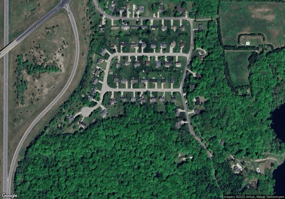
Map
Nearby Homes
- 1919 Jay St
- 2434 Jeffery Ln
- 1209 Morris Dr
- 1836 Platt St
- 1705 N Philip Rd
- 1551 Walling Ln
- 0 Rd
- 824 N Philip Rd
- 1491 Valley View Dr
- 2103 Niles Buchanan Rd
- 0 Drew Dr Unit Lot 31
- 0 Drew Dr Unit Lot 29
- 0 Drew Dr Unit Lot 22
- 103 Lexington Pointe Dr
- 134 Turfway Park
- 218 Arlington Ln
- V/L Mead Rd
- 219 Arlington Ln
- 43 Longmeadow Ln
- 15902 Meadowview Dr
Your Personal Tour Guide
Ask me questions while you tour the home.