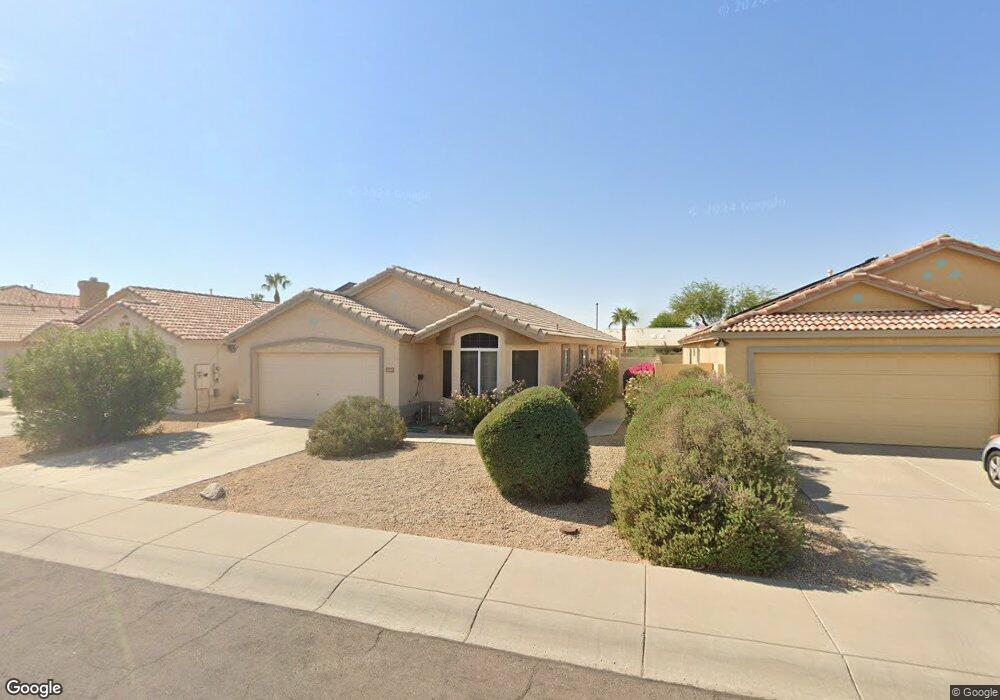
2360 N 131st Ln Goodyear, AZ 85395
Palm Valley NeighborhoodEstimated Value: $336,304 - $411,000
--
Bed
3
Baths
1,686
Sq Ft
$229/Sq Ft
Est. Value
About This Home
This home is located at 2360 N 131st Ln, Goodyear, AZ 85395 and is currently estimated at $385,826, approximately $228 per square foot. 2360 N 131st Ln is a home located in Maricopa County with nearby schools including Palm Valley Elementary School, Wigwam Creek Middle School, and Valor Preparatory Academy.
Ownership History
Date
Name
Owned For
Owner Type
Purchase Details
Closed on
Jun 17, 2020
Sold by
Scheutzow Martin and Scheutzow Arlene
Bought by
Scheutzow Martin and Scheutzow Arlene
Current Estimated Value
Purchase Details
Closed on
Dec 10, 2014
Sold by
Son Properties Llc
Bought by
Scheutzow Martin and Scheutzow Arlene
Purchase Details
Closed on
Nov 12, 2014
Sold by
Scheutzow Martin J and Scheutzow Arlene
Bought by
Son Properties Llc
Purchase Details
Closed on
Oct 24, 2002
Sold by
Jeter William R and Jeter Belinda L
Bought by
Scheutzow Martin J and Scheutzow Arlene
Purchase Details
Closed on
May 15, 1998
Sold by
Greystone Homes Inc
Bought by
Jeter William R and Jeter Belinda L
Home Financials for this Owner
Home Financials are based on the most recent Mortgage that was taken out on this home.
Original Mortgage
$88,350
Interest Rate
7.17%
Mortgage Type
New Conventional
Create a Home Valuation Report for This Property
The Home Valuation Report is an in-depth analysis detailing your home's value as well as a comparison with similar homes in the area
Home Values in the Area
Average Home Value in this Area
Purchase History
| Date | Buyer | Sale Price | Title Company |
|---|---|---|---|
| Scheutzow Martin | -- | None Available | |
| Scheutzow Martin | -- | None Available | |
| Son Properties Llc | -- | None Available | |
| Scheutzow Martin J | $132,000 | Fidelity National Title | |
| Jeter William R | $110,490 | First American Title |
Source: Public Records
Mortgage History
| Date | Status | Borrower | Loan Amount |
|---|---|---|---|
| Previous Owner | Jeter William R | $88,350 |
Source: Public Records
Tax History Compared to Growth
Tax History
| Year | Tax Paid | Tax Assessment Tax Assessment Total Assessment is a certain percentage of the fair market value that is determined by local assessors to be the total taxable value of land and additions on the property. | Land | Improvement |
|---|---|---|---|---|
| 2025 | $2,082 | $17,365 | -- | -- |
| 2024 | $2,011 | $16,538 | -- | -- |
| 2023 | $2,011 | $28,020 | $5,600 | $22,420 |
| 2022 | $1,944 | $21,160 | $4,230 | $16,930 |
| 2021 | $1,999 | $20,260 | $4,050 | $16,210 |
| 2020 | $1,959 | $17,980 | $3,590 | $14,390 |
| 2019 | $1,896 | $16,850 | $3,370 | $13,480 |
| 2018 | $1,873 | $16,670 | $3,330 | $13,340 |
| 2017 | $1,784 | $15,230 | $3,040 | $12,190 |
| 2016 | $1,711 | $14,230 | $2,840 | $11,390 |
| 2015 | $1,591 | $13,410 | $2,680 | $10,730 |
Source: Public Records
Map
Nearby Homes
- 12913 W Wilshire Dr
- 12938 W Alvarado Rd
- 13145 W Cambridge Ave
- 13160 W Windsor Ave
- 1858 N 128th Dr
- 1825 N 128th Ave
- 12709 W Virginia Ave
- 13350 W La Reata Ave
- 13511 Fairway Loop S Unit 35G2
- 13524 W Alvarado Dr
- 13458 W Coronado Rd
- 3010 N 129th Dr
- 13587 W Cypress St
- 2004 N 125th Ave
- 2024 N 125th Ave
- 13613 W Cypress St
- 13641 W Alvarado Dr
- 2022 N 124th Dr
- 2120 N 125th Ave
- 12543 W Roanoke Ave
- 2358 N 131st Ln
- 2382 N 131st Ln
- 2346 N 131st Ln
- 2334 N 131st Ln
- 2410 N 131st Ln
- 2359 N 131st Ln
- 13129 W Wilshire Dr
- 2322 N 131st Ln
- 2421 N 132nd Ave
- 2347 N 131st Ln
- 2411 N 132nd Ave
- 2424 N 131st Ln
- 13138 W Wilshire Dr
- 13144 W Sheridan St
- 13121 W Wilshire Dr
- 2439 N 132nd Ave
- 2438 N 131st Ln
- 13130 W Wilshire Dr
- 13132 W Sheridan St Unit *WOW*
- 13132 W Sheridan St