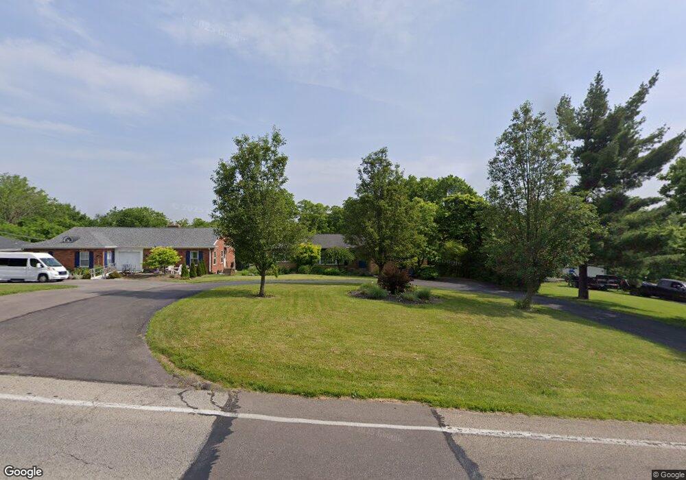
2360 Section Rd Cincinnati, OH 45237
Estimated Value: $392,000 - $575,000
3
Beds
3
Baths
2,582
Sq Ft
$184/Sq Ft
Est. Value
About This Home
This home is located at 2360 Section Rd, Cincinnati, OH 45237 and is currently estimated at $476,179, approximately $184 per square foot. 2360 Section Rd is a home located in Hamilton County with nearby schools including Pleasant Ridge Montessori School, Shroder High School, and Clark Montessori High School.
Ownership History
Date
Name
Owned For
Owner Type
Purchase Details
Closed on
Jun 23, 1999
Sold by
Thomas Christine Tr
Bought by
Dufek Michael J and Dufek Roberta
Current Estimated Value
Home Financials for this Owner
Home Financials are based on the most recent Mortgage that was taken out on this home.
Original Mortgage
$235,000
Outstanding Balance
$57,585
Interest Rate
7.15%
Estimated Equity
$418,594
Purchase Details
Closed on
Aug 15, 1997
Sold by
Thomas Callis A and Thomas Christine F
Bought by
Thomas Christine
Create a Home Valuation Report for This Property
The Home Valuation Report is an in-depth analysis detailing your home's value as well as a comparison with similar homes in the area
Home Values in the Area
Average Home Value in this Area
Purchase History
| Date | Buyer | Sale Price | Title Company |
|---|---|---|---|
| Dufek Michael J | $234,000 | -- | |
| Thomas Christine | -- | -- |
Source: Public Records
Mortgage History
| Date | Status | Borrower | Loan Amount |
|---|---|---|---|
| Open | Dufek Michael J | $235,000 |
Source: Public Records
Tax History
| Year | Tax Paid | Tax Assessment Tax Assessment Total Assessment is a certain percentage of the fair market value that is determined by local assessors to be the total taxable value of land and additions on the property. | Land | Improvement |
|---|---|---|---|---|
| 2025 | $6,833 | $113,190 | $20,202 | $92,988 |
| 2024 | $6,628 | $113,190 | $20,202 | $92,988 |
| 2023 | $6,775 | $113,190 | $20,202 | $92,988 |
| 2022 | $5,926 | $85,806 | $16,296 | $69,510 |
| 2021 | $5,774 | $85,806 | $16,296 | $69,510 |
| 2020 | $5,862 | $85,806 | $16,296 | $69,510 |
| 2019 | $5,721 | $75,933 | $14,420 | $61,513 |
| 2018 | $5,731 | $75,933 | $14,420 | $61,513 |
| 2017 | $5,474 | $75,933 | $14,420 | $61,513 |
| 2016 | $4,387 | $58,339 | $12,828 | $45,511 |
| 2015 | $3,979 | $58,339 | $12,828 | $45,511 |
| 2014 | $4,006 | $58,339 | $12,828 | $45,511 |
| 2013 | $4,327 | $62,063 | $13,647 | $48,416 |
Source: Public Records
Map
Nearby Homes
- 6770 Elbrook Ave
- 6750 Elbrook Ave
- 2606 Section Rd
- 2344 Losantiville Ave
- 2537 Vera Ave
- 2539 Vera Ave
- 2541 Vera Ave
- 2543 Vera Ave
- 6402 Mayflower Ave
- 2507 Kellerman Ave
- 2436 Bremont Ave
- 2526 Bremont Ave
- 1808 Crest Hill Ave
- 6537 Cliff Ridge Ln
- 1622 Shenandoah Ave
- 7119 Eastlawn Dr
- 6411 Girard Ave
- 7510 Fernwood Dr
- 6408 Girard Ave
- 6211 Mayflower Ave
- 2340 Section Rd
- 2380 Section Rd
- 2330 Section Rd
- 2328 Section Rd
- 2326 Section Rd
- 2365 Section Rd
- 2355 Section Rd
- 2375 Section Rd
- 2345 Section Rd
- 6885 Farm Acres Dr
- 2335 Section Rd
- 2301 Royal Oak Ct
- 6990 Elbrook Ave
- 2329 Section Rd
- 2321 Royal Oak Ct
- 7020 Elbrook Ave
- 2324 Section Rd
- 2323 Section Rd
- 2390 Section Rd
- 6825 W Farm Acres Dr
Your Personal Tour Guide
Ask me questions while you tour the home.