Estimated Value: $1,079,537
--
Bed
--
Bath
2,734
Sq Ft
$395/Sq Ft
Est. Value
About This Home
This home is located at 2360 Toombs Rd, Nyssa, OR 97913 and is currently estimated at $1,079,537, approximately $394 per square foot. 2360 Toombs Rd is a home located in Malheur County with nearby schools including Adrian Elementary School and Adrian High School.
Ownership History
Date
Name
Owned For
Owner Type
Purchase Details
Closed on
Jul 3, 2023
Sold by
Bennett Farms Llc
Bought by
Speelmon Jacob
Current Estimated Value
Home Financials for this Owner
Home Financials are based on the most recent Mortgage that was taken out on this home.
Original Mortgage
$90,000
Interest Rate
6.39%
Mortgage Type
Seller Take Back
Create a Home Valuation Report for This Property
The Home Valuation Report is an in-depth analysis detailing your home's value as well as a comparison with similar homes in the area
Purchase History
| Date | Buyer | Sale Price | Title Company |
|---|---|---|---|
| Speelmon Jacob | $1,000,000 | Amerititle |
Source: Public Records
Mortgage History
| Date | Status | Borrower | Loan Amount |
|---|---|---|---|
| Previous Owner | Speelmon Jacob | $90,000 |
Source: Public Records
Tax History
| Year | Tax Paid | Tax Assessment Tax Assessment Total Assessment is a certain percentage of the fair market value that is determined by local assessors to be the total taxable value of land and additions on the property. | Land | Improvement |
|---|---|---|---|---|
| 2025 | $4,464 | $319,111 | $74,716 | $244,395 |
| 2024 | $3,800 | $260,561 | $56,017 | $204,544 |
| 2023 | $2,825 | $201,158 | $54,743 | $146,415 |
| 2022 | $2,776 | $195,561 | $53,410 | $142,151 |
| 2021 | $2,866 | $189,835 | $51,824 | $138,011 |
| 2020 | $2,805 | $184,494 | $50,502 | $133,992 |
| 2019 | $2,773 | $179,208 | $49,118 | $130,090 |
| 2018 | $2,443 | $156,293 | $47,873 | $108,420 |
| 2017 | $2,267 | $155,084 | $46,664 | $108,420 |
| 2016 | $2,398 | $153,910 | $45,490 | $108,420 |
| 2015 | $1,990 | $129,922 | $43,922 | $86,000 |
| 2014 | $1,996 | $129,208 | $43,208 | $86,000 |
Source: Public Records
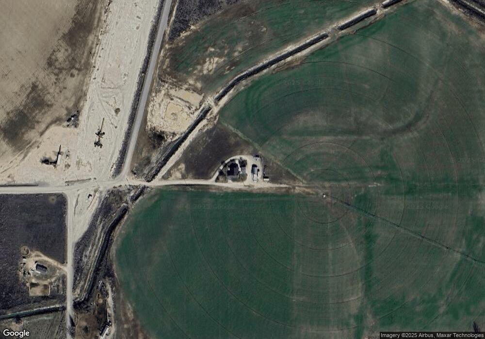
Map
Nearby Homes
- 646 Overstreet Rd
- TBD Kygar Rd
- 26635 Pioneer Ln
- 26915 Chips Ln
- 887 Overstreet Rd
- Lot 2B Clydesdale Ln
- Lot 3B Drum Ln
- Lot 5A Drum Ln
- 4.8acTBD Chips Ln
- 933 Overstreet Rd
- 30327 Hexon Rd
- 2555 Jefferson Dr
- 0 Tbd Stephen Ln
- 24013 Arena Valley Rd
- 28403 Wamstad Rd
- TBD Hwy 18
- 1000 N Rodeo St
- 25773 Clydesdale Ln
- 25701 Clydesdale Ln
- 1010 N Rodeo St
- 2342 Kingman Rd
- 2325 Kingman Rd
- 674 Overstreet Rd
- 2399 Highway 201
- 699 Overstreet Rd
- 2359 Highway 201
- 685 Overstreet Rd
- 685 Overstreet Rd
- 2297 Kingman Rd
- 2424 Highway 201
- 2355 Highway 201
- 653 Overstreet Rd
- 623 Wynn Rd
- 2432 Toombs Rd
- 2340 Oregon 201
- 2320 Hwy 201
- 2320 Highway 201
- 2320 Highway 201
- TBD Kingman Rd
- 736 River Rd
Your Personal Tour Guide
Ask me questions while you tour the home.