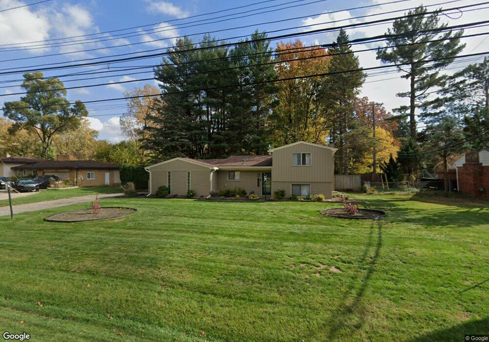
23600 Mapleridge Dr Southfield, MI 48075
Estimated Value: $203,000 - $333,000
3
Beds
2
Baths
1,801
Sq Ft
$148/Sq Ft
Est. Value
About This Home
This home is located at 23600 Mapleridge Dr, Southfield, MI 48075 and is currently estimated at $265,913, approximately $147 per square foot. 23600 Mapleridge Dr is a home located in Oakland County with nearby schools including Morris Adler Elementary School, Glenn W. Levey Middle School, and Dr. Joseph F. Pollack Academic Center Of Excellence.
Ownership History
Date
Name
Owned For
Owner Type
Purchase Details
Closed on
Sep 9, 2010
Sold by
Baker Dashawn T
Bought by
Wilson Carla
Current Estimated Value
Home Financials for this Owner
Home Financials are based on the most recent Mortgage that was taken out on this home.
Original Mortgage
$58,913
Outstanding Balance
$39,001
Interest Rate
4.49%
Mortgage Type
FHA
Estimated Equity
$226,912
Purchase Details
Closed on
Dec 3, 2004
Sold by
Baker Dashawn T and Jenkins Dashawn T
Bought by
Baker Dashawn T
Purchase Details
Closed on
Apr 30, 2002
Sold by
Hazlett Donald P
Bought by
Jenkins Dashawn T
Create a Home Valuation Report for This Property
The Home Valuation Report is an in-depth analysis detailing your home's value as well as a comparison with similar homes in the area
Home Values in the Area
Average Home Value in this Area
Purchase History
| Date | Buyer | Sale Price | Title Company |
|---|---|---|---|
| Wilson Carla | $60,000 | Multiple | |
| Baker Dashawn T | -- | Alpha Title Agency Inc | |
| Jenkins Dashawn T | $182,000 | -- |
Source: Public Records
Mortgage History
| Date | Status | Borrower | Loan Amount |
|---|---|---|---|
| Open | Wilson Carla | $58,913 |
Source: Public Records
Tax History Compared to Growth
Tax History
| Year | Tax Paid | Tax Assessment Tax Assessment Total Assessment is a certain percentage of the fair market value that is determined by local assessors to be the total taxable value of land and additions on the property. | Land | Improvement |
|---|---|---|---|---|
| 2022 | $2,583 | $81,970 | $13,070 | $68,900 |
| 2021 | $2,630 | $77,480 | $12,590 | $64,890 |
| 2020 | $2,297 | $63,940 | $10,890 | $53,050 |
| 2018 | $2,715 | $46,390 | $7,260 | $39,130 |
| 2015 | -- | $38,200 | $0 | $0 |
| 2014 | -- | $38,790 | $0 | $0 |
| 2011 | -- | $43,360 | $0 | $0 |
Source: Public Records
Map
Nearby Homes
- 24139 Philip Dr
- 0000 W Nine Mile
- 19633 Mahon St
- 19780 Mahon St
- 24153 Evergreen Rd Unit 30
- 24393 Evergreen Rd
- 19910 Albany Ave
- 19880 Hazelhurst St
- 18621 Capitol Dr
- 19368 Midway Rd
- 19171 Hilton Dr
- 17863 Bonstelle Ave
- 18656 Midway Ave
- 18444 Addison Dr
- 19680 Hilton Dr
- 19501 Jeanette St
- 20286 Woodburn Dr
- 17573 Mount Vernon St
- 24053 Lathrup Blvd
- 19100 Dorset St
- 23580 Mapleridge Dr
- 23626 Mapleridge Dr
- 23603 Mapleridge Dr
- 23570 Mapleridge Dr
- 23625 Mapleridge Dr
- 23860 Lee Baker Dr
- 23555 Mapleridge Dr
- 23869 Philip Dr
- 23929 Philip Dr
- 23820 Lee Baker Dr
- 23841 Philip Dr
- 23938 Lee Baker Dr Unit Bldg-Unit
- 23938 Lee Baker Dr
- 23955 Philip Dr
- 23946 Lee Baker Dr
- 23823 Philip Dr
- 23800 Lee Baker Dr
- 23885 Lee Baker Dr
- 23861 Lee Baker Dr
- 23801 Philip Dr