Estimated Value: $307,000 - $321,000
3
Beds
3
Baths
1,510
Sq Ft
$207/Sq Ft
Est. Value
About This Home
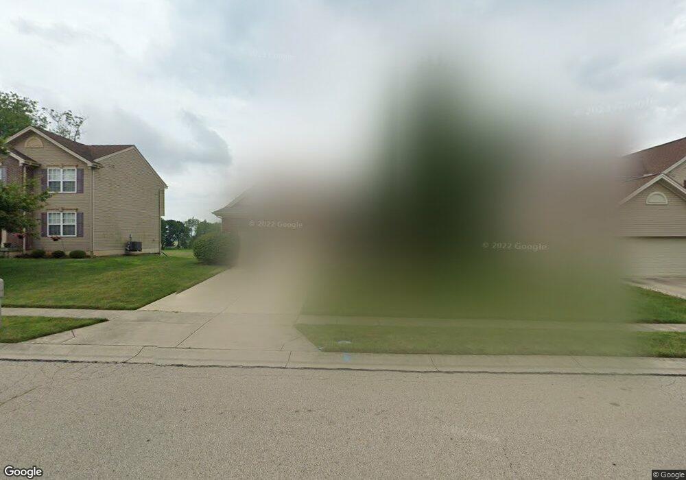
This home is located at 2362 Harmony Dr, Xenia, OH 45385 and is currently estimated at $312,011, approximately $206 per square foot. 2362 Harmony Dr is a home located in Greene County with nearby schools including Xenia High School and Summit Academy Community School for Alternative Learners - Xenia.
Ownership History
Date
Name
Owned For
Owner Type
Purchase Details
Closed on
Feb 20, 2025
Sold by
Prince Michael V and Prince Maureen H
Bought by
Prince Michael V and Prince Maureen H
Current Estimated Value
Purchase Details
Closed on
Sep 29, 2005
Sold by
Inverness Group Inc
Bought by
Prince Sr Michael V and Prince Brenda M
Home Financials for this Owner
Home Financials are based on the most recent Mortgage that was taken out on this home.
Original Mortgage
$139,408
Interest Rate
5.88%
Mortgage Type
Fannie Mae Freddie Mac
Purchase Details
Closed on
Mar 4, 2005
Sold by
Xenia Development Co Llc
Bought by
Inverness Group Inc
Home Financials for this Owner
Home Financials are based on the most recent Mortgage that was taken out on this home.
Original Mortgage
$10,000,000
Interest Rate
5.67%
Mortgage Type
Credit Line Revolving
Create a Home Valuation Report for This Property
The Home Valuation Report is an in-depth analysis detailing your home's value as well as a comparison with similar homes in the area
Home Values in the Area
Average Home Value in this Area
Purchase History
| Date | Buyer | Sale Price | Title Company |
|---|---|---|---|
| Prince Michael V | -- | None Listed On Document | |
| Prince Sr Michael V | $174,300 | -- | |
| Inverness Group Inc | $28,900 | -- |
Source: Public Records
Mortgage History
| Date | Status | Borrower | Loan Amount |
|---|---|---|---|
| Previous Owner | Prince Sr Michael V | $139,408 | |
| Previous Owner | Inverness Group Inc | $10,000,000 |
Source: Public Records
Tax History
| Year | Tax Paid | Tax Assessment Tax Assessment Total Assessment is a certain percentage of the fair market value that is determined by local assessors to be the total taxable value of land and additions on the property. | Land | Improvement |
|---|---|---|---|---|
| 2024 | $4,232 | $99,650 | $15,350 | $84,300 |
| 2023 | $4,155 | $99,650 | $15,350 | $84,300 |
| 2022 | $3,704 | $75,740 | $10,230 | $65,510 |
| 2021 | $3,754 | $75,740 | $10,230 | $65,510 |
| 2020 | $2,912 | $75,740 | $10,230 | $65,510 |
| 2019 | $2,912 | $57,780 | $8,330 | $49,450 |
| 2018 | $2,923 | $57,780 | $8,330 | $49,450 |
| 2017 | $2,838 | $57,780 | $8,330 | $49,450 |
| 2016 | $2,838 | $55,080 | $8,330 | $46,750 |
| 2015 | $2,846 | $55,080 | $8,330 | $46,750 |
| 2014 | $2,723 | $55,080 | $8,330 | $46,750 |
Source: Public Records
Map
Nearby Homes
- 2208 Harmony Dr
- 310 Tranquil Dr
- 624 Georgia Dr
- 219 Kansas Dr
- 1874 Pennsylvania Dr
- 161 Montana Dr
- 2265 Virginia Dr
- 1001 Glen Kegley Dr
- 1321 Massachusetts Dr
- 2149 Cornwall Dr
- 1778 Arapaho Dr
- 1715 Sioux Dr
- 2499 Jenny Marie Dr
- 1161 Shannon Ln
- 0 Berkshire Dr Unit 949217
- 1777 Kylemore Dr
- 1282 Baybury Ave
- 1253 Baybury Ave
- 1298 Baybury Ave
- 1304 Baybury Ave
- 2348 Harmony Dr
- 2390 Harmony Dr
- 2355 Harmony Dr
- 2369 Harmony Dr
- 2341 Harmony Dr
- 2383 Harmony Dr
- 2404 Harmony Dr
- 2327 Harmony Dr
- 2397 Harmony Dr
- 2418 Harmony Dr
- 394 Georgia Dr
- 380 Georgia Dr
- 2313 Harmony Dr
- 2411 Harmony Dr
- 408 Georgia Dr
- 366 Georgia Dr
- 352 Georgia Dr
- 389 Concord Way
- 2432 Harmony Dr
- 2299 Harmony Dr
Your Personal Tour Guide
Ask me questions while you tour the home.