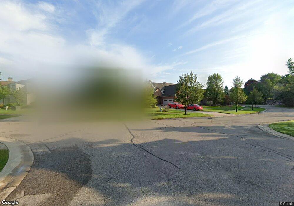
2362 Silver Point Dr Unit 5 Waterford, MI 48328
Waterford Township NeighborhoodEstimated Value: $272,000 - $678,000
3
Beds
4
Baths
2,400
Sq Ft
$224/Sq Ft
Est. Value
About This Home
This home is located at 2362 Silver Point Dr Unit 5, Waterford, MI 48328 and is currently estimated at $538,299, approximately $224 per square foot. 2362 Silver Point Dr Unit 5 is a home located in Oakland County with nearby schools including Alcott School, Pontiac Middle School, and Pontiac High School.
Ownership History
Date
Name
Owned For
Owner Type
Purchase Details
Closed on
Oct 18, 2019
Sold by
Beverly Kimberly and Beverly Robert
Bought by
Beverly Robert
Current Estimated Value
Purchase Details
Closed on
Apr 21, 2011
Sold by
Billings Fred and Billings Ruth A
Bought by
Beverly Robert C and Beverly Kimberly L
Purchase Details
Closed on
Nov 9, 2001
Sold by
Muzzarelli Laurence
Bought by
Billings Fred
Home Financials for this Owner
Home Financials are based on the most recent Mortgage that was taken out on this home.
Original Mortgage
$129,600
Interest Rate
6.64%
Purchase Details
Closed on
May 8, 2001
Sold by
Muzzarelli Robin
Bought by
Muzzarelli Laurence
Create a Home Valuation Report for This Property
The Home Valuation Report is an in-depth analysis detailing your home's value as well as a comparison with similar homes in the area
Home Values in the Area
Average Home Value in this Area
Purchase History
| Date | Buyer | Sale Price | Title Company |
|---|---|---|---|
| Beverly Robert | -- | None Available | |
| Beverly Robert C | $290,000 | Capital Title Ins Agency | |
| Billings Fred | $162,000 | -- | |
| Muzzarelli Laurence | $90,000 | -- | |
| Muzzarelli Laurence | -- | -- |
Source: Public Records
Mortgage History
| Date | Status | Borrower | Loan Amount |
|---|---|---|---|
| Previous Owner | Muzzarelli Laurence | $129,600 |
Source: Public Records
Tax History Compared to Growth
Tax History
| Year | Tax Paid | Tax Assessment Tax Assessment Total Assessment is a certain percentage of the fair market value that is determined by local assessors to be the total taxable value of land and additions on the property. | Land | Improvement |
|---|---|---|---|---|
| 2024 | $3,036 | $289,190 | $0 | $0 |
| 2023 | $2,897 | $276,600 | $0 | $0 |
| 2022 | $5,183 | $254,660 | $0 | $0 |
| 2021 | $4,905 | $242,970 | $0 | $0 |
| 2020 | $2,667 | $240,470 | $0 | $0 |
| 2019 | $4,784 | $218,130 | $0 | $0 |
| 2018 | $4,692 | $206,840 | $0 | $0 |
| 2017 | $4,273 | $206,840 | $0 | $0 |
| 2016 | $4,259 | $205,480 | $0 | $0 |
| 2015 | -- | $181,300 | $0 | $0 |
| 2014 | -- | $142,270 | $0 | $0 |
| 2011 | -- | $137,400 | $0 | $0 |
Source: Public Records
Map
Nearby Homes
- 2361 Montroyal Ave
- 2831 Silverstone Ln
- 2550 W Walton Blvd
- 2854 Beacham Dr
- 2927 Huntington Park Dr
- 2830 Dixie Hwy
- 3039 Mccormick Dr
- 3053 Mccormick Dr
- 1842 Colonial Village Way Unit 4
- 1806 Colonial Village Way Unit 3
- 3411 Wormer Dr
- 940 Lake Angelus Shores Rd
- 3160 Lexington Rd
- 405 W Walton Blvd
- 3432 Loon Lake Ct
- 3416 Loon Lake Ct
- 3388 Loon Lake Ct
- 3436 Adams Shore Dr
- 3289 Schoolhouse Dr
- 310 W Princeton Ave
- 2370 Silver Point Dr Unit 6
- 2354 Silver Point Dr
- 2378 Silver Pointe Dr
- 2378 Silver Point Dr
- 2346 Silver Point Dr
- 2346 Silver Pointe Dr
- 2386 Silver Pointe Dr
- 2386 Silver Point Dr
- 2338 Silver Point Dr
- 2394 Silver Pointe Dr
- 2394 Silver Point Dr
- 2330 Silver Point Dr
- 2402 Silver Pointe Dr
- 2402 Silver Point
- 2402 Silver Point Dr
- 2546 Silver Lake Rd
- 2410 Silver Pointe Dr
- 2410 Silver Point Dr Unit 11
- 2437 Silver Cir
- 2445 Silver Cir