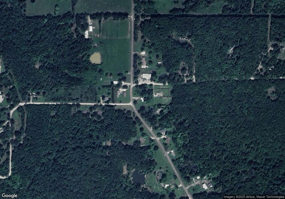
23625 Highway W Waynesville, MO 65583
Estimated Value: $122,000 - $193,777
2
Beds
1
Bath
1,200
Sq Ft
$132/Sq Ft
Est. Value
About This Home
This home is located at 23625 Highway W, Waynesville, MO 65583 and is currently estimated at $158,944, approximately $132 per square foot. 23625 Highway W is a home located in Pulaski County with nearby schools including Laquey R-V Elementary School, Laquey R-V Middle School, and Laquey R-V High School.
Ownership History
Date
Name
Owned For
Owner Type
Purchase Details
Closed on
May 1, 2008
Sold by
Williamson Carrie B and Wilson Michael D
Bought by
Callais Daniel R
Current Estimated Value
Purchase Details
Closed on
Nov 12, 2005
Sold by
Reiff Sharon K
Bought by
Williamson Carrie B and Wilson Michael D
Home Financials for this Owner
Home Financials are based on the most recent Mortgage that was taken out on this home.
Original Mortgage
$59,060
Interest Rate
7.25%
Mortgage Type
Purchase Money Mortgage
Create a Home Valuation Report for This Property
The Home Valuation Report is an in-depth analysis detailing your home's value as well as a comparison with similar homes in the area
Home Values in the Area
Average Home Value in this Area
Purchase History
| Date | Buyer | Sale Price | Title Company |
|---|---|---|---|
| Callais Daniel R | -- | None Available | |
| Williamson Carrie B | $65,000 | None Available |
Source: Public Records
Mortgage History
| Date | Status | Borrower | Loan Amount |
|---|---|---|---|
| Previous Owner | Williamson Carrie B | $59,060 |
Source: Public Records
Tax History Compared to Growth
Tax History
| Year | Tax Paid | Tax Assessment Tax Assessment Total Assessment is a certain percentage of the fair market value that is determined by local assessors to be the total taxable value of land and additions on the property. | Land | Improvement |
|---|---|---|---|---|
| 2024 | $534 | $12,833 | $1,900 | $10,933 |
| 2023 | $534 | $12,833 | $1,900 | $10,933 |
| 2022 | $495 | $12,833 | $1,900 | $10,933 |
| 2021 | $495 | $12,833 | $1,900 | $10,933 |
| 2020 | $477 | $15,721 | $0 | $0 |
| 2019 | $477 | $12,312 | $0 | $0 |
| 2018 | $478 | $12,312 | $0 | $0 |
| 2017 | $478 | $15,949 | $0 | $0 |
| 2016 | $478 | $12,310 | $0 | $0 |
| 2015 | -- | $12,310 | $0 | $0 |
| 2014 | $489 | $12,310 | $0 | $0 |
Source: Public Records
Map
Nearby Homes
- 123 Rascal Dr
- 24654 Rustler Ln
- 26469 Roam Dr
- 0 Rochester Rd Unit 23885013
- 0 Rochester Rd Unit MIS25040527
- 22217 Red Wing Rd
- 000 Raceway Rd
- 0 Tbd Red Oak Rd
- TBD Rambling Ln
- Rambling Ln
- 0 Unknown Unit MAR24073937
- 23376 Riptide Dr
- 23231 Roulette Rd
- 23225 Roulette Rd
- 0 Rising Mist Dr Tracts 1-2 4-10 Unit 3572016
- 0 Rising Mist Dr Tracts 1-2 4-10 Unit MAR24068047
- 26287 Radcliff Dr
- 27185 Shelly Dr
- 23549 Restore
- 23231 Righteous Ln Unit 1A, 2A, 2B, 3A, 3B
- 23645 Highway W
- 0 Raven Ln Unit 16029726
- 26324 Rake Ln
- 23730 Highway W
- 26301 Rake Ln
- 26545 Raven Ln
- 23570 Highway W
- 26289 Rake Ln
- 23735 Highway W
- 23750 Highway W
- 23499 Highway W
- 23925 Rascal Dr
- 26750 Raven Ln
- 23670 Racket Dr
- 23450 Highway W
- 23300 Highway W
- 23854 Highway W
- 23375 Highway W
- 26080 Rake Ln
- 23405 Racket Dr
