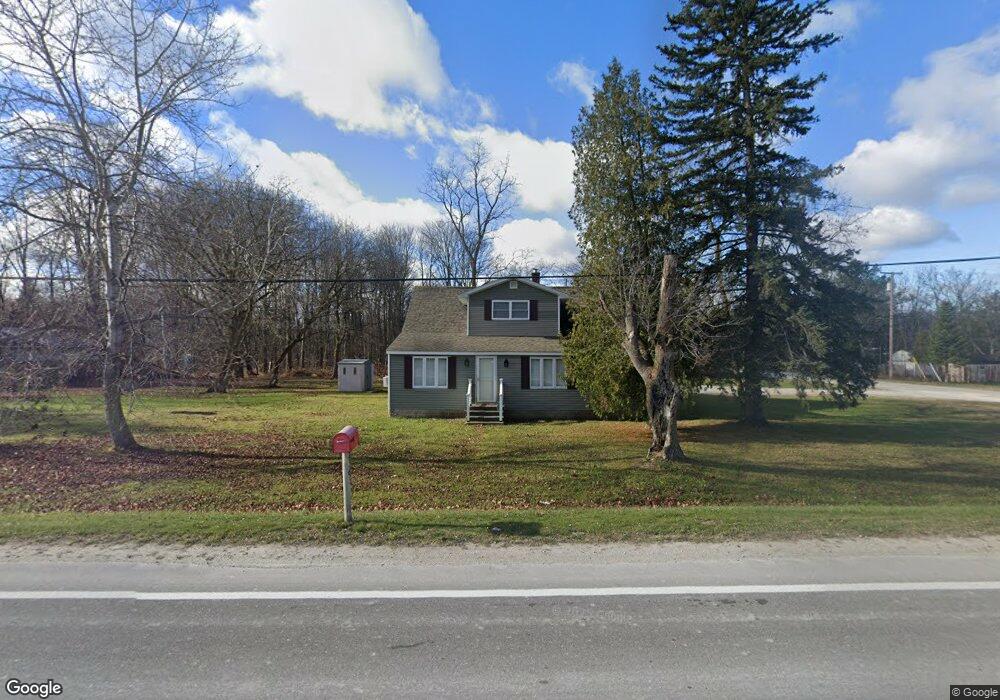
2363 Range Rd Kimball, MI 48074
Estimated Value: $191,000 - $229,120
4
Beds
2
Baths
2,000
Sq Ft
$108/Sq Ft
Est. Value
About This Home
This home is located at 2363 Range Rd, Kimball, MI 48074 and is currently estimated at $215,030, approximately $107 per square foot. 2363 Range Rd is a home located in St. Clair County with nearby schools including Indian Woods Elementary School, Central Middle School, and Port Huron High School.
Ownership History
Date
Name
Owned For
Owner Type
Purchase Details
Closed on
Jul 11, 2012
Sold by
Tomlinson Karen Lee
Bought by
Hudson Philip A and Hudson Christina M
Current Estimated Value
Create a Home Valuation Report for This Property
The Home Valuation Report is an in-depth analysis detailing your home's value as well as a comparison with similar homes in the area
Home Values in the Area
Average Home Value in this Area
Purchase History
| Date | Buyer | Sale Price | Title Company |
|---|---|---|---|
| Hudson Philip A | $7,000 | None Available |
Source: Public Records
Tax History Compared to Growth
Tax History
| Year | Tax Paid | Tax Assessment Tax Assessment Total Assessment is a certain percentage of the fair market value that is determined by local assessors to be the total taxable value of land and additions on the property. | Land | Improvement |
|---|---|---|---|---|
| 2025 | $1,973 | $83,800 | $0 | $0 |
| 2024 | $955 | $84,500 | $0 | $0 |
| 2023 | $875 | $81,400 | $0 | $0 |
| 2022 | $1,797 | $72,500 | $0 | $0 |
| 2020 | $1,668 | $80,800 | $80,800 | $0 |
| 2019 | $1,650 | $63,800 | $0 | $0 |
| 2018 | $1,588 | $62,100 | $0 | $0 |
| 2017 | $1,267 | $61,000 | $0 | $0 |
| 2016 | $707 | $61,000 | $0 | $0 |
| 2015 | -- | $60,200 | $60,200 | $0 |
| 2014 | -- | $49,700 | $49,700 | $0 |
| 2013 | -- | $65,300 | $0 | $0 |
Source: Public Records
Map
Nearby Homes
- 4380 Lapeer Rd
- 0000 Range Rd
- 0 Wall Rd Unit 50185999
- 0 Lapeer Rd Unit 50137357
- 00 Howard Rd
- 0 Allen Rd Unit 20250008597
- 0 Allen Rd Unit 20250008612
- 4915 Griswold Rd
- 4911 Castlewood Dr
- 3101 Range Rd
- 1405 Range Rd
- V/L Allen
- 00 Range Rd
- 3115 Spruce Dr
- 4440 Cambridge Dr
- 0000 W Water St
- 4224 Atkins Rd
- 1604 Allen Rd
- 2940 Westland Dr
- 0 Wadhams Rd Unit 50155021
- 2352 Range Rd
- 2345 Range Rd
- 2409 Range Rd
- 2362 Range Rd
- 2421 Range Rd
- 2331 Range Rd
- 4554 Howard Rd
- 2344 Range Rd
- Range Rd
- 2325 Range Rd
- 4532 Smith Rd
- 4560 Howard Rd
- 0 Howard Unit 4920805
- 0 Howard Unit 866572
- 0 Howard Unit 4661462
- 0 Howard Unit 212126515
- 0 Howard Unit 31209981
- 0 Howard Unit G31233188
- 0 Howard Unit G31233187
- 0 Howard Unit R215020926