2363 Summit Cedar Dr Howell, MI 48855
Estimated Value: $338,000 - $356,799
3
Beds
3
Baths
1,510
Sq Ft
$230/Sq Ft
Est. Value
About This Home
This home is located at 2363 Summit Cedar Dr, Howell, MI 48855 and is currently estimated at $346,700, approximately $229 per square foot. 2363 Summit Cedar Dr is a home located in Livingston County with nearby schools including Ruahmah J. Hutchings Elementary, Parker Middle School, and Howell High School.
Ownership History
Date
Name
Owned For
Owner Type
Purchase Details
Closed on
Jun 7, 2016
Sold by
Floto Matthew Howard
Bought by
Church Timothy A and Church Jennifer D
Current Estimated Value
Home Financials for this Owner
Home Financials are based on the most recent Mortgage that was taken out on this home.
Original Mortgage
$160,866
Outstanding Balance
$128,240
Interest Rate
3.62%
Mortgage Type
FHA
Estimated Equity
$218,460
Purchase Details
Closed on
Nov 20, 2014
Sold by
Floto Ellen Marie
Bought by
Floto Matthew Howard
Purchase Details
Closed on
Aug 11, 2010
Sold by
Floto Matthew H and Floto Ellen M
Bought by
Federal Home Loan Mortgage Corporation
Create a Home Valuation Report for This Property
The Home Valuation Report is an in-depth analysis detailing your home's value as well as a comparison with similar homes in the area
Home Values in the Area
Average Home Value in this Area
Purchase History
| Date | Buyer | Sale Price | Title Company |
|---|---|---|---|
| Church Timothy A | $186,000 | None Available | |
| Floto Matthew Howard | -- | -- | |
| Federal Home Loan Mortgage Corporation | $39,900 | -- |
Source: Public Records
Mortgage History
| Date | Status | Borrower | Loan Amount |
|---|---|---|---|
| Open | Church Timothy A | $160,866 |
Source: Public Records
Tax History
| Year | Tax Paid | Tax Assessment Tax Assessment Total Assessment is a certain percentage of the fair market value that is determined by local assessors to be the total taxable value of land and additions on the property. | Land | Improvement |
|---|---|---|---|---|
| 2025 | $1,933 | $160,500 | $0 | $0 |
| 2024 | $1,878 | $156,500 | $0 | $0 |
| 2023 | $1,794 | $140,800 | $0 | $0 |
| 2022 | $825 | $118,900 | $0 | $0 |
| 2021 | $2,486 | $123,200 | $0 | $0 |
| 2020 | $2,514 | $118,900 | $0 | $0 |
| 2019 | $2,478 | $108,800 | $0 | $0 |
| 2018 | $2,448 | $103,200 | $0 | $0 |
| 2017 | $2,416 | $100,000 | $0 | $0 |
| 2016 | $1,794 | $96,100 | $0 | $0 |
| 2014 | $2,012 | $76,000 | $0 | $0 |
| 2012 | $2,012 | $70,400 | $0 | $0 |
Source: Public Records
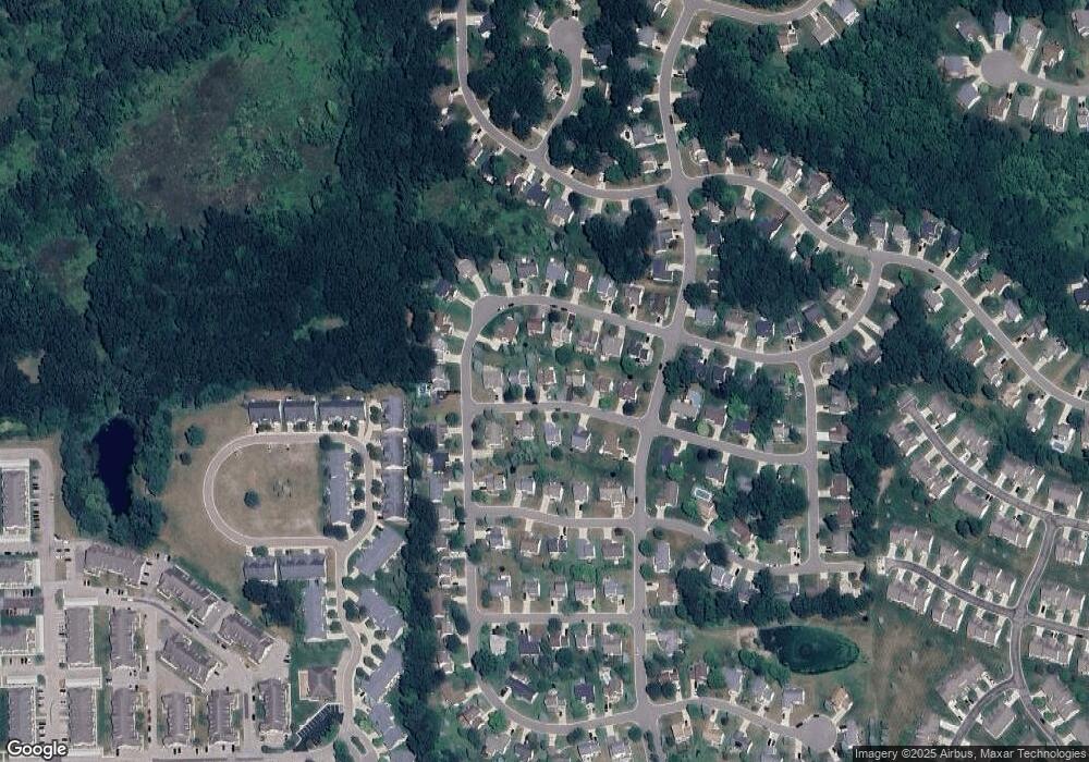
Map
Nearby Homes
- 2430 Hickory Circle Dr Unit 103
- 2511 Kerria Dr Unit 42
- 1570 Princewood Blvd
- 2643 Kerria Dr Unit 65
- 1420 Butler Blvd
- 1315 Central Ave
- 2830 Bonny Brook Dr Unit 3
- VACANT LOT Thompson Shore Dr
- 0 Eager Unit 293099
- Lot 1 of Lockes St
- Lot 3 of Lockes St
- 487 Cannonade Loop
- 559 Cannonade Loop
- 499 Cannonade Loop
- 475 Cannonade Loop
- 1907 Oak Grove Rd
- The Austin Plan at Broadmoor
- The Charlotte Plan at Broadmoor
- The Harrison Plan at Broadmoor
- The Bloomington Plan at Broadmoor
- 2363 Summit Cedar Dr Unit 82
- 2357 Summit Cedar Dr
- 2369 Summit Cedar Dr Unit 83
- 2436 Hickory Circle Dr Unit 102
- 2366 Summit Cedar Dr Unit 74
- 2375 Summit Cedar Dr
- 2358 Summit Cedar Dr Unit 75
- 2412 Hickory Circle Dr
- 2448 Hickory Circle Dr Unit 100
- 2372 Summit Cedar Dr Unit 73
- 2378 Hickory Circle Dr
- 2381 Summit Cedar Dr Unit 85
- 2454 Hickory Circle Dr
- 1705 Hickory Hills Blvd Unit 72
- 2439 Hickory Circle Dr Unit 112
- 2433 Hickory Circle Dr Unit 111
- 2363 Chestnut Bend
- 2445 Hickory Circle Dr
- 2357 Chestnut Bend
- 2391 Hickory Circle Dr Unit 79
Your Personal Tour Guide
Ask me questions while you tour the home.