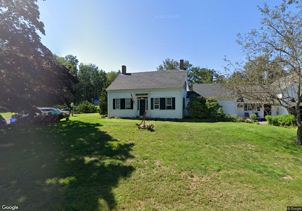
2364 Harpswell Islands Rd Harpswell, ME 04079
Harpswell NeighborhoodEstimated Value: $1,035,000 - $1,592,000
4
Beds
3
Baths
3,812
Sq Ft
$345/Sq Ft
Est. Value
About This Home
This home is located at 2364 Harpswell Islands Rd, Harpswell, ME 04079 and is currently estimated at $1,313,500, approximately $344 per square foot. 2364 Harpswell Islands Rd is a home with nearby schools including Mt Ararat High School.
Ownership History
Date
Name
Owned For
Owner Type
Purchase Details
Closed on
Nov 24, 2021
Sold by
York Roxanne J and York Ronald D
Bought by
Leary Shane D and Sturm Abigail W
Current Estimated Value
Home Financials for this Owner
Home Financials are based on the most recent Mortgage that was taken out on this home.
Original Mortgage
$480,000
Outstanding Balance
$441,356
Interest Rate
3.09%
Mortgage Type
Purchase Money Mortgage
Estimated Equity
$872,144
Create a Home Valuation Report for This Property
The Home Valuation Report is an in-depth analysis detailing your home's value as well as a comparison with similar homes in the area
Home Values in the Area
Average Home Value in this Area
Purchase History
| Date | Buyer | Sale Price | Title Company |
|---|---|---|---|
| Leary Shane D | -- | None Available |
Source: Public Records
Mortgage History
| Date | Status | Borrower | Loan Amount |
|---|---|---|---|
| Open | Leary Shane D | $480,000 |
Source: Public Records
Tax History Compared to Growth
Tax History
| Year | Tax Paid | Tax Assessment Tax Assessment Total Assessment is a certain percentage of the fair market value that is determined by local assessors to be the total taxable value of land and additions on the property. | Land | Improvement |
|---|---|---|---|---|
| 2024 | $3,553 | $558,600 | $123,800 | $434,800 |
| 2023 | $3,407 | $558,600 | $123,800 | $434,800 |
| 2022 | $3,296 | $558,600 | $123,800 | $434,800 |
| 2021 | $2,921 | $432,100 | $116,600 | $315,500 |
| 2020 | $9,961 | $426,800 | $116,600 | $310,200 |
| 2019 | $3,313 | $424,100 | $116,600 | $307,500 |
| 2018 | $5,369 | $424,100 | $116,600 | $307,500 |
| 2017 | $5,450 | $424,100 | $116,600 | $307,500 |
| 2016 | $2,714 | $424,100 | $116,600 | $307,500 |
| 2015 | $2,646 | $424,100 | $116,600 | $307,500 |
| 2013 | $2,451 | $424,100 | $116,600 | $307,500 |
Source: Public Records
Map
Nearby Homes
- 20 Spruce Ledge Rd
- 19 Hugh Ave
- 10 S Colony Branch Rd
- 10 Irene Ave
- 8 & 2 Kane Ln
- 30 Osbourne Row
- 6 Kane Ln
- 18 Ash Point Rd
- 16 Ash Point Rd Unit 16
- 87 Lowells Cove Rd
- 1689 Harpswell Islands Rd
- 1450 Harpswell Neck Rd
- 1 Mallard Pond Rd
- 0 Bayview Rd Unit 2 1632776
- 41 Spruce Brook Dr
- Lot 2A Allen Point Rd
- Lot 2B Allen Point Rd
- 21 Spring Hill Rd
- Lot 129 Harpswell Neck Rd
- 305 Church Rd
- 2364 Harpswell Island Rd
- 8 S End Rd
- 8 S End Rd
- 5 Elden Point Rd
- 6 Spruce Ledge Rd
- 11 Elden Point Rd
- 9 Southend Rd
- 21 Elden Point Rd
- 0 Elden Point Unit 844915
- 0 Elden Point Unit 808849
- 0 Elden Pt Rd
- 0 Elden Point Unit 844904
- 0 Elden Point Unit 808833
- 0 Elden Point Unit 976041
- 0 Elden Point Unit 1011840
- 2354 Harpswell Islands Rd
- 2354 Harpswell Islands Rd
- 29 Elden Point Rd
- 17 S End Rd
- 8 Elden Point Rd