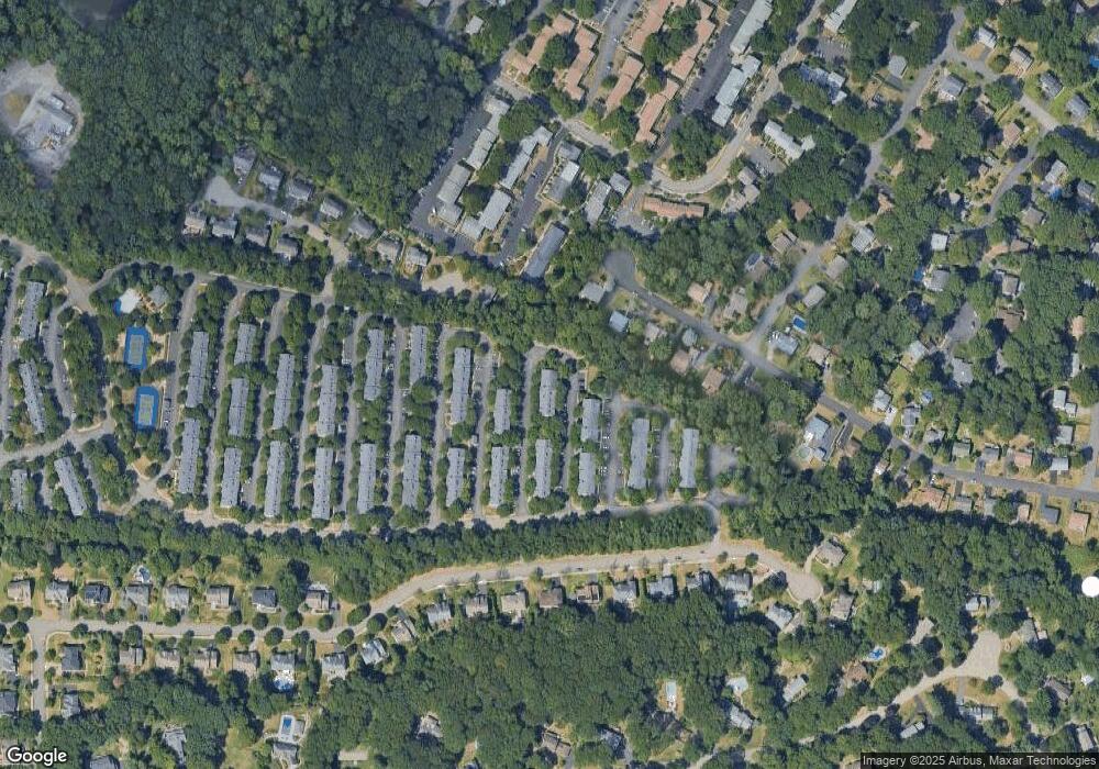
2364 Phillip Ct Mahwah, NJ 07430
Estimated Value: $564,000 - $628,000
--
Bed
--
Bath
1,672
Sq Ft
$351/Sq Ft
Est. Value
About This Home
This home is located at 2364 Phillip Ct, Mahwah, NJ 07430 and is currently estimated at $586,857, approximately $350 per square foot. 2364 Phillip Ct is a home located in Bergen County with nearby schools including Mahwah High School.
Ownership History
Date
Name
Owned For
Owner Type
Purchase Details
Closed on
May 5, 2011
Sold by
Moodie Jason and Moodie Jennifer R
Bought by
Craine Michael
Current Estimated Value
Home Financials for this Owner
Home Financials are based on the most recent Mortgage that was taken out on this home.
Original Mortgage
$340,850
Interest Rate
4.88%
Mortgage Type
Purchase Money Mortgage
Purchase Details
Closed on
Sep 15, 2003
Sold by
Kotten Steven
Bought by
Moodie Jason and Moodie Jennifer
Home Financials for this Owner
Home Financials are based on the most recent Mortgage that was taken out on this home.
Original Mortgage
$318,750
Interest Rate
6.35%
Purchase Details
Closed on
Jan 13, 2000
Sold by
Russell Jeffrey and Russell Karrie
Bought by
Kotten Steven J and Kotten Laurie A
Home Financials for this Owner
Home Financials are based on the most recent Mortgage that was taken out on this home.
Original Mortgage
$185,000
Interest Rate
7.83%
Create a Home Valuation Report for This Property
The Home Valuation Report is an in-depth analysis detailing your home's value as well as a comparison with similar homes in the area
Home Values in the Area
Average Home Value in this Area
Purchase History
| Date | Buyer | Sale Price | Title Company |
|---|---|---|---|
| Craine Michael | $401,000 | -- | |
| Moodie Jason | $375,000 | -- | |
| Kotten Steven J | $265,000 | -- |
Source: Public Records
Mortgage History
| Date | Status | Borrower | Loan Amount |
|---|---|---|---|
| Previous Owner | Craine Michael | $340,850 | |
| Previous Owner | Moodie Jason | $318,750 | |
| Previous Owner | Kotten Steven J | $185,000 |
Source: Public Records
Tax History Compared to Growth
Tax History
| Year | Tax Paid | Tax Assessment Tax Assessment Total Assessment is a certain percentage of the fair market value that is determined by local assessors to be the total taxable value of land and additions on the property. | Land | Improvement |
|---|---|---|---|---|
| 2025 | $7,488 | $362,800 | $205,000 | $157,800 |
| 2024 | $7,390 | $362,800 | $205,000 | $157,800 |
| 2023 | $7,154 | $362,800 | $205,000 | $157,800 |
| 2022 | $6,985 | $354,200 | $205,000 | $149,200 |
| 2021 | $6,910 | $354,200 | $205,000 | $149,200 |
| 2020 | $6,744 | $354,200 | $205,000 | $149,200 |
| 2019 | $6,521 | $354,200 | $205,000 | $149,200 |
| 2018 | $6,429 | $354,200 | $205,000 | $149,200 |
| 2017 | $6,326 | $354,200 | $205,000 | $149,200 |
| 2016 | $6,188 | $354,200 | $205,000 | $149,200 |
| 2015 | $6,103 | $354,200 | $205,000 | $149,200 |
| 2014 | $6,000 | $354,200 | $205,000 | $149,200 |
Source: Public Records
Map
Nearby Homes
- 2372 Phillip Ct
- 199 Parkside Dr
- 235 Parkside Dr Unit 235
- 155 Parkside Dr Unit 155
- 208 Parkside Dr
- 114 Parkside Dr
- 15 Stockbridge Ave
- 2170 Kent Ct
- 66 Parkside Dr Unit 66
- 178 Parkside Dr Unit 178
- 256 Parkside Dr Unit 256
- 12 Sagamore Ave
- 53 Doxbury Ln Unit 53
- 2120 Gunston Ct
- 14 Burlington Ave
- 19 Doxbury Ln Unit 19
- 2054 Charles Ct
- 19 Yorkshire Dr
- 20 Lancaster Dr
- 2 Reid Ct
- 2365 Phillip Ct Unit 30G
- 2348 Pembroke Ct
- 2363 Phillip Ct
- 2349 Pembroke Ct
- 2366 Phillip Ct
- 2367 Phillip Ct Unit 30E
- 2350 Pembroke Ct Unit 30C
- 2368 Phillip Ct
- 2369 Phillip Ct Unit 31A
- 2342 Pembroke Ct
- 2383 Quill Ct
- 2343 Pembroke Ct
- 2384 Quill Ct
- 2370 Phillip Ct
- 2344 Pembroke Ct
- 2327 Oliver Ct Unit 27A
- 2385 Quill Ct Unit 31G
- 2345 Pembroke Ct
- 2386 Quill Ct
- 2328 Oliver Ct
