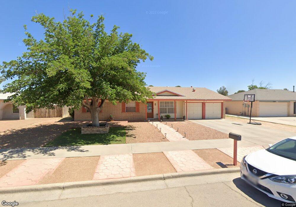
2365 Anise Dr El Paso, TX 79936
Glen Cove NeighborhoodEstimated Value: $239,327 - $276,000
--
Bed
2
Baths
1,899
Sq Ft
$138/Sq Ft
Est. Value
About This Home
This home is located at 2365 Anise Dr, El Paso, TX 79936 and is currently estimated at $262,832, approximately $138 per square foot. 2365 Anise Dr is a home located in El Paso County with nearby schools including Glen Cove Elementary School, J.M. Hanks Middle School, and J M Hanks High School.
Ownership History
Date
Name
Owned For
Owner Type
Purchase Details
Closed on
May 23, 2002
Sold by
Palmer Edward S and Palmer Lois C
Bought by
Estrada Jesus and Estrada Maria D
Current Estimated Value
Home Financials for this Owner
Home Financials are based on the most recent Mortgage that was taken out on this home.
Original Mortgage
$91,567
Outstanding Balance
$38,230
Interest Rate
6.77%
Mortgage Type
VA
Estimated Equity
$224,602
Create a Home Valuation Report for This Property
The Home Valuation Report is an in-depth analysis detailing your home's value as well as a comparison with similar homes in the area
Home Values in the Area
Average Home Value in this Area
Purchase History
| Date | Buyer | Sale Price | Title Company |
|---|---|---|---|
| Estrada Jesus | -- | -- |
Source: Public Records
Mortgage History
| Date | Status | Borrower | Loan Amount |
|---|---|---|---|
| Open | Estrada Jesus | $91,567 |
Source: Public Records
Tax History Compared to Growth
Tax History
| Year | Tax Paid | Tax Assessment Tax Assessment Total Assessment is a certain percentage of the fair market value that is determined by local assessors to be the total taxable value of land and additions on the property. | Land | Improvement |
|---|---|---|---|---|
| 2025 | $3,509 | $214,194 | -- | -- |
| 2024 | $3,509 | $194,722 | -- | -- |
| 2023 | $3,256 | $177,020 | $0 | $0 |
| 2022 | $4,997 | $160,927 | $0 | $0 |
| 2021 | $4,755 | $159,278 | $26,386 | $132,892 |
| 2020 | $4,201 | $132,997 | $19,576 | $113,421 |
| 2018 | $4,048 | $130,159 | $19,576 | $110,583 |
| 2017 | $3,733 | $122,112 | $19,576 | $102,536 |
| 2016 | $3,733 | $122,112 | $19,576 | $102,536 |
| 2015 | $2,926 | $122,112 | $19,576 | $102,536 |
| 2014 | $2,926 | $123,099 | $19,576 | $103,523 |
Source: Public Records
Map
Nearby Homes
- 11008 Johnny Miller Dr
- 11013 Bob Stone Dr
- 11012 Bob Stone Dr
- 11016 Bob Stone Dr
- 2009 Bobby Jones Dr Unit B
- 2308 Tom Watson Ct
- 2325 Ken Venturi Ln
- 10916 Miller Barber Dr
- 1901 Bobby Jones Dr
- 2313 Frank Beard Dr
- 1817 Hugh Royer Place
- 2604 Anise Dr
- 2820 Beachcomber Dr
- 1868 Tom Bolt Dr
- 2348 Sea Side Dr
- 1913 Seagull Dr
- 1844 Jack Nicklaus Dr Unit 1846
- 2825 Wong Place Unit A/D
- 11132 Wharf Cove Dr
- 2000 Solano Dr
- 2361 Anise Dr
- 2369 Anise Dr
- 11034 Tom Shaw Dr
- 11030 Tom Shaw Dr
- 11038 Tom Shaw Dr
- 2357 Anise Dr
- 2364 Anise Dr
- 11026 Tom Shaw Dr
- 2360 Anise Dr
- 2368 Anise Dr
- 2356 Anise Dr
- 2356 Anise Dr
- 2353 Anise Dr
- 11022 Tom Shaw Dr
- 2401 Anise Dr
- 11046 Tom Shaw Dr
- 10949 Art Wall Dr
- 10949 Art Wall Dr Unit B
- 11033 Tom Shaw Dr
- 2352 Anise Dr