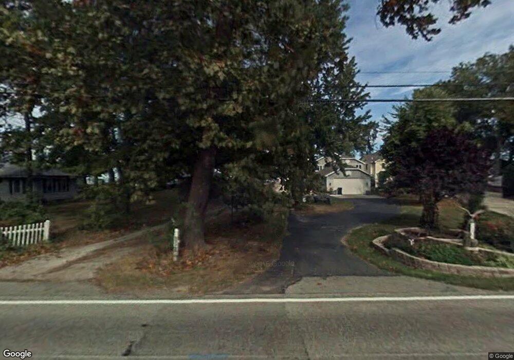
2365 E Sand Rd Port Clinton, OH 43452
Estimated Value: $475,000 - $661,000
3
Beds
1
Bath
1,944
Sq Ft
$273/Sq Ft
Est. Value
About This Home
This home is located at 2365 E Sand Rd, Port Clinton, OH 43452 and is currently estimated at $531,350, approximately $273 per square foot. 2365 E Sand Rd is a home located in Ottawa County with nearby schools including Bataan Memorial Primary School, Bataan Memorial Intermediate School, and Port Clinton Middle School.
Ownership History
Date
Name
Owned For
Owner Type
Purchase Details
Closed on
Aug 27, 2010
Sold by
Bobinchuck Michael J and Oconnor Luan S
Bought by
Bobinchuck Luan O
Current Estimated Value
Purchase Details
Closed on
Aug 14, 2001
Sold by
Stokes George K
Bought by
Connor Michael J Bobinchuck Luan S O
Create a Home Valuation Report for This Property
The Home Valuation Report is an in-depth analysis detailing your home's value as well as a comparison with similar homes in the area
Home Values in the Area
Average Home Value in this Area
Purchase History
| Date | Buyer | Sale Price | Title Company |
|---|---|---|---|
| Bobinchuck Luan O | -- | Attorney | |
| Connor Michael J Bobinchuck Luan S O | $308,000 | -- |
Source: Public Records
Mortgage History
| Date | Status | Borrower | Loan Amount |
|---|---|---|---|
| Closed | Connor Michael J Bobinchuck Luan S O | -- |
Source: Public Records
Tax History Compared to Growth
Tax History
| Year | Tax Paid | Tax Assessment Tax Assessment Total Assessment is a certain percentage of the fair market value that is determined by local assessors to be the total taxable value of land and additions on the property. | Land | Improvement |
|---|---|---|---|---|
| 2024 | $4,730 | $137,725 | $106,197 | $31,528 |
| 2023 | $4,730 | $95,211 | $64,362 | $30,849 |
| 2022 | $3,560 | $95,210 | $64,361 | $30,849 |
| 2021 | $3,556 | $95,210 | $64,360 | $30,850 |
| 2020 | $3,219 | $82,760 | $51,910 | $30,850 |
| 2019 | $3,169 | $82,760 | $51,910 | $30,850 |
| 2018 | $3,067 | $82,760 | $51,910 | $30,850 |
| 2017 | $3,161 | $83,940 | $51,910 | $32,030 |
| 2016 | $3,169 | $83,940 | $51,910 | $32,030 |
| 2015 | $2,684 | $70,810 | $51,910 | $18,900 |
| 2014 | $1,275 | $66,710 | $47,810 | $18,900 |
| 2013 | $2,558 | $66,710 | $47,810 | $18,900 |
Source: Public Records
Map
Nearby Homes
- 2350 E Sand Rd
- 2348 E Sand Rd
- 2130 E Sand Rd
- 2656 E Harbor Rd Unit D-3
- 2656 E Harbor Rd Unit D-2
- 2656 E Harbor Rd Unit D-1
- 2322 E State Rd Unit 12
- 146 N Harbors End Dr Unit 21A
- 19 N Beach St
- 680 S Plasterbed Rd Unit 4-7
- 12 N Beach St
- 2817 E Harbor Rd
- 3500 Woodhill Dr
- 2650 E Harbor Rd
- 0 E Harbor Rd
- 2006 E Harbor Rd
- 3720 E Aqua Aire Dr Unit 138
- 764 SE Catawba Rd Unit 109
- 764 SE Catawba Rd Unit 98
- 764 SE Catawba Rd Unit 115
- 2363 E Sand Rd
- 2367 E Sand Rd
- 2359 E Sand Rd
- 2369 E Sand Rd
- 2355 E Sand Rd Unit B
- 2355 E Sand Rd Unit A
- 2355 E Sand Rd
- 2355 E Sand Rd Unit C
- 2353 E Sand Rd
- 2353 E Sand Rd Unit A
- 2364 E Sand Rd
- 2351 E Sand Rd
- 2997 E Shore Dr
- 2358 E Sand Rd
- 2349 E Sand Rd
- 2352 E Sand Rd
- 3000 E Shore Dr
- 3003 E Shore Dr
- 2345 E Sand Rd
- 3009 E Shore Dr