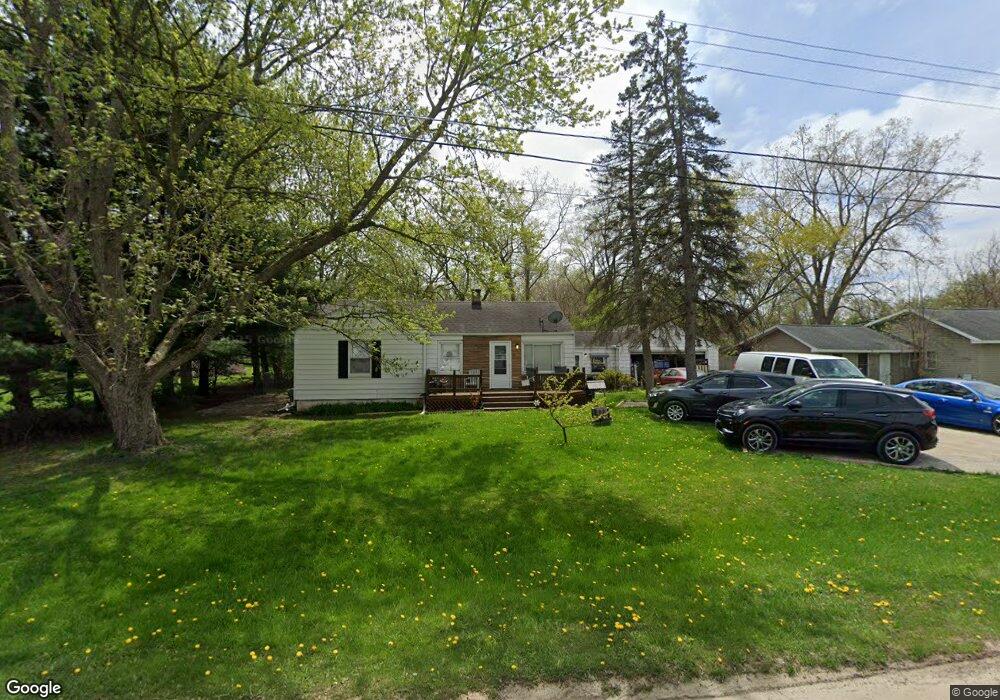
2366 Edwards St Grand Blanc, MI 48439
Estimated Value: $195,000 - $209,000
3
Beds
2
Baths
1,146
Sq Ft
$176/Sq Ft
Est. Value
About This Home
This home is located at 2366 Edwards St, Grand Blanc, MI 48439 and is currently estimated at $201,408, approximately $175 per square foot. 2366 Edwards St is a home located in Genesee County with nearby schools including Anderson Elementary School, McGrath Elementary School, and Grand Blanc West Middle School.
Ownership History
Date
Name
Owned For
Owner Type
Purchase Details
Closed on
Oct 31, 2006
Sold by
Baier Stefan B
Bought by
Rosa Tom and Rosa Cynthia
Current Estimated Value
Home Financials for this Owner
Home Financials are based on the most recent Mortgage that was taken out on this home.
Original Mortgage
$92,720
Outstanding Balance
$60,587
Interest Rate
8.25%
Mortgage Type
Purchase Money Mortgage
Estimated Equity
$140,821
Purchase Details
Closed on
Sep 28, 1999
Sold by
Iwanski Timothy and Iwanski Amy
Bought by
Baier Stefan B
Create a Home Valuation Report for This Property
The Home Valuation Report is an in-depth analysis detailing your home's value as well as a comparison with similar homes in the area
Home Values in the Area
Average Home Value in this Area
Purchase History
| Date | Buyer | Sale Price | Title Company |
|---|---|---|---|
| Rosa Tom | $115,900 | Devon Ti | |
| Baier Stefan B | $93,700 | Metropolitan Title Company |
Source: Public Records
Mortgage History
| Date | Status | Borrower | Loan Amount |
|---|---|---|---|
| Open | Rosa Tom | $92,720 |
Source: Public Records
Tax History Compared to Growth
Tax History
| Year | Tax Paid | Tax Assessment Tax Assessment Total Assessment is a certain percentage of the fair market value that is determined by local assessors to be the total taxable value of land and additions on the property. | Land | Improvement |
|---|---|---|---|---|
| 2025 | $2,060 | $65,200 | $0 | $0 |
| 2024 | $1,172 | $60,900 | $0 | $0 |
| 2023 | $1,118 | $59,800 | $0 | $0 |
| 2022 | $1,876 | $52,500 | $0 | $0 |
| 2021 | $1,848 | $56,100 | $0 | $0 |
| 2020 | $1,031 | $48,700 | $0 | $0 |
| 2019 | $1,016 | $46,000 | $0 | $0 |
| 2018 | $1,669 | $39,600 | $0 | $0 |
| 2017 | $1,581 | $38,300 | $0 | $0 |
| 2016 | $1,557 | $38,700 | $0 | $0 |
| 2015 | $1,483 | $37,500 | $0 | $0 |
| 2012 | -- | $38,500 | $38,500 | $0 |
Source: Public Records
Map
Nearby Homes
- 6230 Woodsdale Dr
- 6314 Woodsdale Dr
- 6094 Grove Ave
- 6085 Westdale Dr
- 00 S Dort Hwy
- VL S Saginaw St
- 2346 Rollins St
- 1234 Fisher Heights
- 5391 Antoinette Dr
- 01 S Saginaw St
- 000 S Saginaw St
- 00 S Saginaw St
- 3049 Baker Heights
- 00 Durant Heights
- 3092 Durant Heights
- 00 Sloan Heights
- 5368 Boland Dr
- 3077 Kettering Heights
- 00 Reid Rd
- Lot C Chapin St
- 2356 Edwards St
- 2346 Edwards St
- 2384 Edwards St
- 6162 Lincoln Blvd
- 2367 Edwards St Unit Bldg-Unit
- 2367 Edwards St
- 6159 Grove Ave
- 2381 Edwards St
- 2338 Edwards St
- 6123 Grove Ave
- 6169 Grove Ave
- 6119 Grove Ave
- 6146 Westdale Dr
- 6140 Westdale Dr
- 6154 Westdale Dr
- 6134 Westdale Dr
- 6260 Woodsdale Dr
- 6162 Westdale Dr
- 6254 Woodsdale Dr
- 6124 Westdale Dr