2366 Summit Cedar Dr Unit 74 Howell, MI 48855
Estimated Value: $343,776 - $375,000
Studio
2
Baths
1,759
Sq Ft
$205/Sq Ft
Est. Value
About This Home
This home is located at 2366 Summit Cedar Dr Unit 74, Howell, MI 48855 and is currently estimated at $360,694, approximately $205 per square foot. 2366 Summit Cedar Dr Unit 74 is a home located in Livingston County with nearby schools including Ruahmah J. Hutchings Elementary, Parker Middle School, and Howell High School.
Ownership History
Date
Name
Owned For
Owner Type
Purchase Details
Closed on
Mar 22, 2004
Sold by
Hart John W and Hart Nancy A
Bought by
Stevenson Guy and Stevenson Sue
Current Estimated Value
Home Financials for this Owner
Home Financials are based on the most recent Mortgage that was taken out on this home.
Original Mortgage
$102,580
Outstanding Balance
$47,874
Interest Rate
5.65%
Mortgage Type
Purchase Money Mortgage
Estimated Equity
$312,820
Purchase Details
Closed on
Sep 27, 2000
Sold by
Kudroch Mary L and Divietri Mary L
Bought by
Hart John W and Hart Nancy A
Home Financials for this Owner
Home Financials are based on the most recent Mortgage that was taken out on this home.
Original Mortgage
$144,500
Interest Rate
7.87%
Create a Home Valuation Report for This Property
The Home Valuation Report is an in-depth analysis detailing your home's value as well as a comparison with similar homes in the area
Home Values in the Area
Average Home Value in this Area
Purchase History
| Date | Buyer | Sale Price | Title Company |
|---|---|---|---|
| Stevenson Guy | $189,500 | -- | |
| Hart John W | $170,000 | -- |
Source: Public Records
Mortgage History
| Date | Status | Borrower | Loan Amount |
|---|---|---|---|
| Open | Stevenson Guy | $102,580 | |
| Previous Owner | Hart John W | $144,500 |
Source: Public Records
Tax History
| Year | Tax Paid | Tax Assessment Tax Assessment Total Assessment is a certain percentage of the fair market value that is determined by local assessors to be the total taxable value of land and additions on the property. | Land | Improvement |
|---|---|---|---|---|
| 2025 | $1,505 | $163,000 | $0 | $0 |
| 2024 | $1,462 | $158,900 | $0 | $0 |
| 2023 | $1,396 | $142,800 | $0 | $0 |
| 2022 | $642 | $118,600 | $0 | $0 |
| 2021 | $1,934 | $124,900 | $0 | $0 |
| 2020 | $1,956 | $118,600 | $0 | $0 |
| 2019 | $1,929 | $108,500 | $0 | $0 |
| 2018 | $1,905 | $100,900 | $0 | $0 |
| 2017 | $1,880 | $97,700 | $0 | $0 |
| 2016 | $1,870 | $93,900 | $0 | $0 |
| 2014 | $2,083 | $79,400 | $0 | $0 |
| 2012 | $2,083 | $73,300 | $0 | $0 |
Source: Public Records
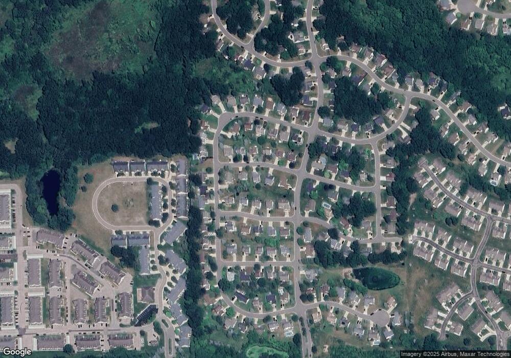
Map
Nearby Homes
- 2430 Hickory Circle Dr Unit 103
- 2511 Kerria Dr Unit 42
- 1570 Princewood Blvd
- 2643 Kerria Dr Unit 65
- 1315 Central Ave
- 2830 Bonny Brook Dr Unit 3
- VACANT LOT Thompson Shore Dr
- 2570 Castle Rock Ct
- 1363 Douglas Fir Dr
- 0 Eager Unit 293099
- 475 Cannonade Loop
- 559 Cannonade Loop
- 499 Cannonade Loop
- 2525 Fisher Rd
- 366 Dorchester Dr
- 380 Dorchester Dr
- 420 Dorchester Dr
- 1710 Carlisle St
- 615 N Michigan Ave
- 409 Lake St
- 2358 Summit Cedar Dr Unit 75
- 2372 Summit Cedar Dr Unit 73
- 2363 Chestnut Bend
- 2363 Summit Cedar Dr
- 2363 Summit Cedar Dr Unit 82
- 2357 Chestnut Bend
- 2378 Hickory Circle Dr
- 2369 Summit Cedar Dr Unit 83
- 2371 Chestnut Bend Unit 31
- 1705 Hickory Hills Blvd Unit 72
- 2357 Summit Cedar Dr
- 2375 Summit Cedar Dr
- 2353 Chestnut Bend
- 2377 Chestnut Bend
- 2381 Summit Cedar Dr Unit 85
- 2436 Hickory Circle Dr Unit 102
- 2448 Hickory Circle Dr Unit 100
- 2412 Hickory Circle Dr
- 2360 Chestnut Bend Unit 49
- 2381 Hickory Circle Dr
Your Personal Tour Guide
Ask me questions while you tour the home.