23660 Fox Point Farm Ln Chestertown, MD 21620
Estimated Value: $786,000 - $1,126,883
--
Bed
3
Baths
1,820
Sq Ft
$540/Sq Ft
Est. Value
About This Home
This home is located at 23660 Fox Point Farm Ln, Chestertown, MD 21620 and is currently estimated at $983,471, approximately $540 per square foot. 23660 Fox Point Farm Ln is a home located in Kent County with nearby schools including Center for Innovation, Kent County Middle School, and Kent County High School.
Ownership History
Date
Name
Owned For
Owner Type
Purchase Details
Closed on
Jul 21, 2017
Sold by
Fox Point Llc
Bought by
R&B Reserve Llc
Current Estimated Value
Purchase Details
Closed on
Apr 17, 2017
Sold by
Taylor Michael D and Estate Of Patricia W Taylor
Bought by
Taylor Peter Evans and Taylor Ruth A M
Purchase Details
Closed on
Oct 25, 2005
Sold by
Taylor Patricia W
Bought by
Taylor Patricia W
Purchase Details
Closed on
Oct 24, 2005
Sold by
Taylor Patricia W
Bought by
Taylor Patricia W
Purchase Details
Closed on
Nov 26, 2001
Sold by
Taylor Patricia W and Taylor Evans
Bought by
Taylor Patricia W and Taylor Evans
Create a Home Valuation Report for This Property
The Home Valuation Report is an in-depth analysis detailing your home's value as well as a comparison with similar homes in the area
Home Values in the Area
Average Home Value in this Area
Purchase History
| Date | Buyer | Sale Price | Title Company |
|---|---|---|---|
| R&B Reserve Llc | $645,000 | Maryland Trust Title & Escro | |
| Taylor Peter Evans | -- | None Available | |
| Taylor Patricia W | -- | -- | |
| Taylor Patricia W | -- | -- | |
| Taylor Patricia W | -- | -- |
Source: Public Records
Tax History Compared to Growth
Tax History
| Year | Tax Paid | Tax Assessment Tax Assessment Total Assessment is a certain percentage of the fair market value that is determined by local assessors to be the total taxable value of land and additions on the property. | Land | Improvement |
|---|---|---|---|---|
| 2025 | $9,152 | $801,800 | $642,800 | $159,000 |
| 2024 | $9,022 | $790,300 | $0 | $0 |
| 2023 | $8,684 | $778,800 | $0 | $0 |
| 2022 | $8,684 | $767,300 | $642,800 | $124,500 |
| 2021 | $8,726 | $765,733 | $0 | $0 |
| 2020 | $8,726 | $764,167 | $0 | $0 |
| 2019 | $8,708 | $762,600 | $642,800 | $119,800 |
| 2018 | $8,708 | $762,600 | $642,800 | $119,800 |
| 2017 | $8,708 | $762,600 | $0 | $0 |
| 2016 | -- | $762,600 | $0 | $0 |
| 2015 | -- | $762,600 | $0 | $0 |
| 2014 | $3,094 | $762,600 | $0 | $0 |
Source: Public Records
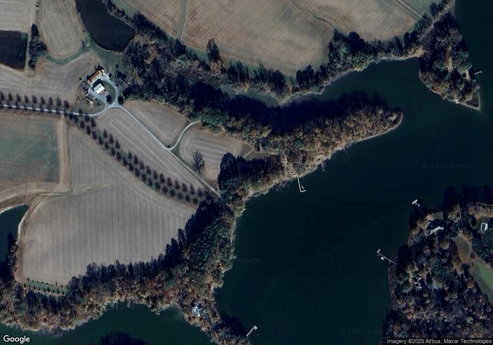
Map
Nearby Homes
- 7653 Broad Neck Rd
- 22537 Shipyard Ln
- 5700 Johnsontown Rd
- 7224 Rock Hall Rd
- 0 Johnsontown Rd
- 6345 Rock Hall Rd
- 0 Fairlee Rd
- 21733 Centennial Ln
- 24543 Chestertown Rd
- 0 Crosby Rd
- 0 Rock Hall Rd
- 7521 Pine Ave
- 23110 Old Fairlee Rd
- LOT 4 Piney Neck Rd
- 7844 Chester Ct
- 23069 Raleigh Rd
- 23043 Bay Shore Spur
- 21745 Centennial Ln
- 21336 Haven Rd
- 21424 Catholic Ave
- 23664 Fox Point Farm Ln
- 23673 Fox Point Farm Ln
- 7021 Broad Neck Rd
- 23868 East Fork Dr
- 23840 East Fork Dr
- 23840 East Fork Dr
- 23985 Walnut Point Rd
- 7019 Broad Neck Rd
- 7015 Broad Neck Rd
- 23818 East Fork Dr
- 23818 East Fork Dr
- 23829 E Fork Dr
- 23829 East Fork Dr
- 23885 East Fork Dr
- 23948 Walnut Point Rd
- 23963 Walnut Point Rd
- 24031 Walnut Point Rd
- 23952 Walnut Point Rd
- 6349 Broad Neck Rd
- 23956 Walnut Point Rd