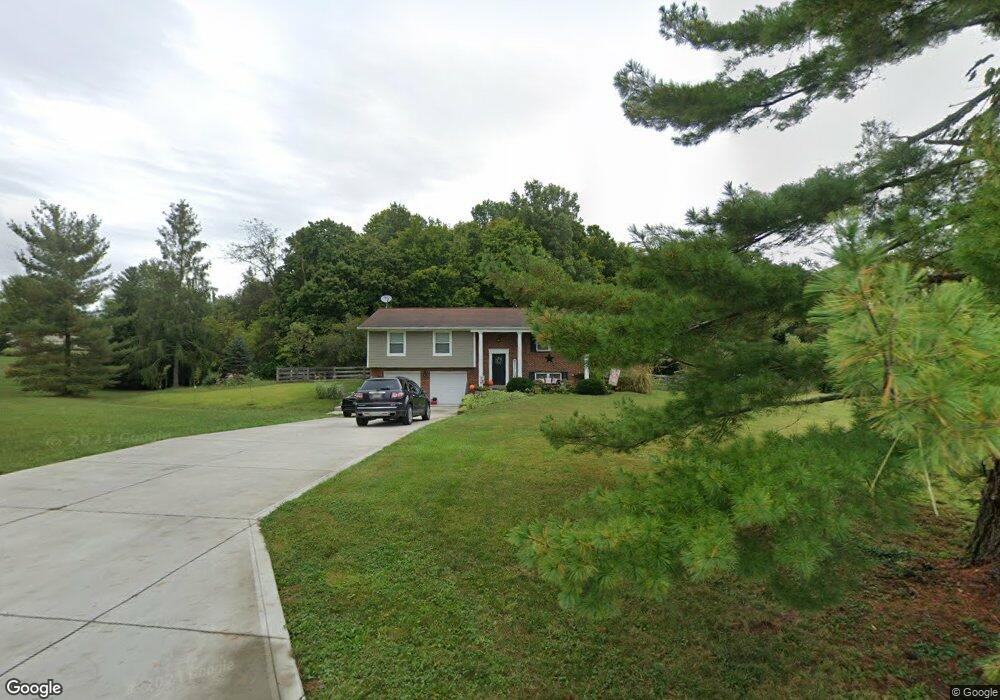
2367 Michael Dr New Richmond, OH 45157
Estimated Value: $231,000 - $350,000
2
Beds
1
Bath
1,064
Sq Ft
$281/Sq Ft
Est. Value
About This Home
This home is located at 2367 Michael Dr, New Richmond, OH 45157 and is currently estimated at $298,638, approximately $280 per square foot. 2367 Michael Dr is a home located in Clermont County with nearby schools including Monroe Elementary School, New Richmond Middle School, and New Richmond High School.
Ownership History
Date
Name
Owned For
Owner Type
Purchase Details
Closed on
Dec 31, 1998
Sold by
Wallace James W
Bought by
Hanrahan Martin R and Hanrahan Kimberly M
Current Estimated Value
Home Financials for this Owner
Home Financials are based on the most recent Mortgage that was taken out on this home.
Original Mortgage
$128,961
Outstanding Balance
$30,401
Interest Rate
6.95%
Mortgage Type
New Conventional
Estimated Equity
$268,237
Purchase Details
Closed on
Sep 4, 1996
Sold by
Stephen A Durkee Est
Bought by
Wallace James W
Home Financials for this Owner
Home Financials are based on the most recent Mortgage that was taken out on this home.
Original Mortgage
$100,000
Interest Rate
8.27%
Mortgage Type
New Conventional
Purchase Details
Closed on
Jan 1, 1988
Create a Home Valuation Report for This Property
The Home Valuation Report is an in-depth analysis detailing your home's value as well as a comparison with similar homes in the area
Home Values in the Area
Average Home Value in this Area
Purchase History
| Date | Buyer | Sale Price | Title Company |
|---|---|---|---|
| Hanrahan Martin R | $140,000 | -- | |
| Wallace James W | $126,000 | -- | |
| -- | $18,200 | -- |
Source: Public Records
Mortgage History
| Date | Status | Borrower | Loan Amount |
|---|---|---|---|
| Open | Hanrahan Martin R | $128,961 | |
| Previous Owner | Wallace James W | $100,000 |
Source: Public Records
Tax History Compared to Growth
Tax History
| Year | Tax Paid | Tax Assessment Tax Assessment Total Assessment is a certain percentage of the fair market value that is determined by local assessors to be the total taxable value of land and additions on the property. | Land | Improvement |
|---|---|---|---|---|
| 2024 | $2,883 | $71,930 | $29,680 | $42,250 |
| 2023 | $2,883 | $71,930 | $29,680 | $42,250 |
| 2022 | $2,723 | $55,480 | $22,890 | $32,590 |
| 2021 | $2,643 | $55,480 | $22,890 | $32,590 |
| 2020 | $2,637 | $55,480 | $22,890 | $32,590 |
| 2019 | $2,089 | $50,400 | $22,680 | $27,720 |
| 2018 | $2,090 | $50,400 | $22,680 | $27,720 |
| 2017 | $1,946 | $50,400 | $22,680 | $27,720 |
| 2016 | $1,783 | $42,710 | $19,220 | $23,490 |
| 2015 | $1,654 | $42,710 | $19,220 | $23,490 |
| 2014 | $1,654 | $42,710 | $19,220 | $23,490 |
| 2013 | $1,817 | $46,410 | $17,290 | $29,120 |
Source: Public Records
Map
Nearby Homes
- 2131 West Rd
- 2232 Ohio 222
- 1459 Ginn Rd
- 2123 Josephs Run Rd
- 2203 Meisman Ln
- 2655 Harry A Hill Dr
- 2249 Laurel Pt Isabel Rd
- ac Laurel-Point Isabel Rd
- 2363 Crane Schoolhouse Rd
- 2339 Laurel Lindale Rd
- 1847 Carnes Rd
- 2791 S Bantam Rd
- 1752 E Boat Run Rd
- Goodwin Schoolhouse Point Isabel Rd
- 0 Tomahawk Trail Unit 1855028
- 0 Tomahawk Trail Unit 1829901
- 2130 Ohio 133
- 2089 Ohio 133
- 2446 Jett Hill Rd
- 2721 Ohio 232
- 2367 Michael Dr
- 2367 Michael Dr
- 2367 Michael Dr
- 2367 Michael Dr
- 2367 Michael Dr
- 2367 Michael Dr
- 1 Michael Dr
- 6 Michael Dr
- 2737 Michael Dr
- 2375 State Route 232
- 2375 State Route 232
- 2371 State Route 232
- 2383 State Route 232
- 2367 Ohio 232
- 2365 State Route 232
- 2366 State Route 232
- 2366 Ohio 232
- 2363 St Rt 232
- 2363 State Route 232
- 2360 State Route 232