2367 Pricer Ridge Rd South Salem, OH 45681
Estimated Value: $245,000 - $284,000
3
Beds
2
Baths
1,568
Sq Ft
$168/Sq Ft
Est. Value
About This Home
This home is located at 2367 Pricer Ridge Rd, South Salem, OH 45681 and is currently estimated at $263,869, approximately $168 per square foot. 2367 Pricer Ridge Rd is a home located in Ross County with nearby schools including McClain High School.
Ownership History
Date
Name
Owned For
Owner Type
Purchase Details
Closed on
Jun 26, 2025
Sold by
Cunningham Thomas Howard and Brooke Nic
Bought by
Parker Blaine
Current Estimated Value
Home Financials for this Owner
Home Financials are based on the most recent Mortgage that was taken out on this home.
Original Mortgage
$235,653
Outstanding Balance
$235,251
Interest Rate
6.81%
Mortgage Type
FHA
Estimated Equity
$28,618
Purchase Details
Closed on
Feb 27, 2017
Sold by
Cunningham Brooke Nichole and Cunningham Brooke
Bought by
Cunningham Thomas Howard and Cunningham Thomas H
Purchase Details
Closed on
Jun 26, 2014
Sold by
Garinger Charles M and Geesling Vivian
Bought by
Cunningham Thomas H and Cunningham Brooke
Home Financials for this Owner
Home Financials are based on the most recent Mortgage that was taken out on this home.
Original Mortgage
$153,225
Interest Rate
4.11%
Mortgage Type
VA
Create a Home Valuation Report for This Property
The Home Valuation Report is an in-depth analysis detailing your home's value as well as a comparison with similar homes in the area
Home Values in the Area
Average Home Value in this Area
Purchase History
| Date | Buyer | Sale Price | Title Company |
|---|---|---|---|
| Parker Blaine | $240,000 | Northwest Title | |
| Cunningham Thomas Howard | -- | None Available | |
| Cunningham Thomas H | $150,000 | Attorney |
Source: Public Records
Mortgage History
| Date | Status | Borrower | Loan Amount |
|---|---|---|---|
| Open | Parker Blaine | $235,653 | |
| Previous Owner | Cunningham Thomas H | $153,225 |
Source: Public Records
Tax History Compared to Growth
Tax History
| Year | Tax Paid | Tax Assessment Tax Assessment Total Assessment is a certain percentage of the fair market value that is determined by local assessors to be the total taxable value of land and additions on the property. | Land | Improvement |
|---|---|---|---|---|
| 2024 | $2,131 | $60,370 | $7,780 | $52,590 |
| 2023 | $2,131 | $59,320 | $7,780 | $51,540 |
| 2022 | $2,250 | $59,320 | $7,780 | $51,540 |
| 2021 | $1,967 | $51,850 | $6,280 | $45,570 |
| 2020 | $1,990 | $51,850 | $6,280 | $45,570 |
| 2019 | $2,041 | $51,850 | $6,280 | $45,570 |
| 2018 | $1,911 | $48,260 | $6,170 | $42,090 |
| 2017 | $1,920 | $48,260 | $6,170 | $42,090 |
| 2016 | $1,877 | $48,260 | $6,170 | $42,090 |
| 2015 | $1,868 | $46,680 | $6,170 | $40,510 |
| 2014 | $1,527 | $46,680 | $6,170 | $40,510 |
| 2013 | $1,530 | $46,680 | $6,170 | $40,510 |
Source: Public Records
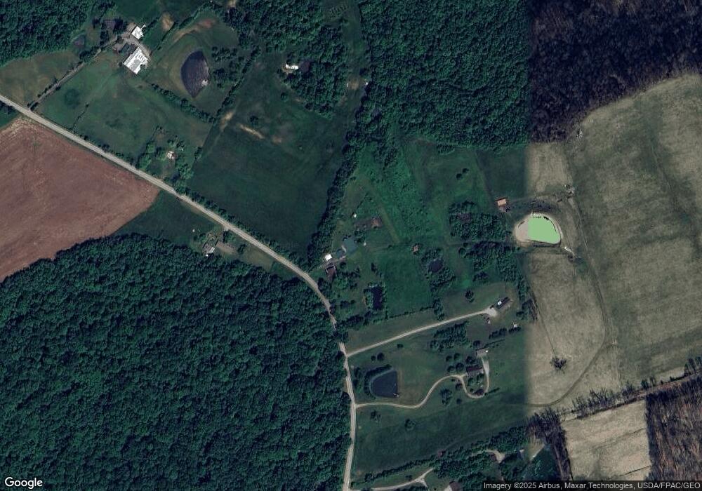
Map
Nearby Homes
- 0 Upper Twin Rd Unit 5159777
- 0 Upper Twin Rd Unit 225036418
- 2470 Tong Hollow Rd
- 948 Mount Olive Rd
- 948 Mt Olive Rd
- 213 S Benner Hill Rd
- 1540 Cove Run Rd
- 4945 Upper Twin Rd
- 301 N Maple St
- 201 N Maple St
- 2780 Potts Hill Rd
- 2780 Potts Hill Rd Unit (Tract 4 at Potts Hi
- 316 S Maple St
- 7885 Upper Twin Rd
- 1153 Morton Rd
- 5233 Rapid Forge Rd
- 10830 Lower Twin Rd
- 5678 Lower Twin Rd
- 7724 Cave Rd
- 0 Schmidt Rd
- 2511 Pricer Ridge Rd
- 2093 Pricer Ridge Rd
- 2557 Pricer Ridge Rd
- 2559 Pricer Ridge Rd
- 2763 Pricer Ridge Rd
- 2777 Pricer Ridge Rd
- 2777 Pricer Rdige
- 1883 Pricer Ridge Rd
- 150 Fordyce Rd
- 2080 N Benner Hill Rd
- 2121 N Benner Hill Rd
- 402 Fordyce Rd
- 404 Fordyce Rd
- 668 Fordyce Rd
- 1530 S Whetstone Rd
- 4444 Upper Twin Rd
- 701 Fordyce Rd
- 599 Fordyce Rd
- 4244 Upper Twin Rd
- 1282 Whetstone Rd