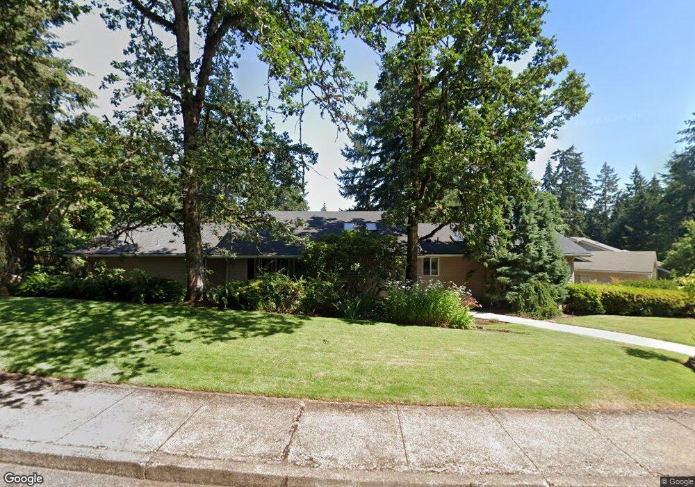
2367 Shields Ave Eugene, OR 97405
Churchill NeighborhoodEstimated Value: $748,000 - $861,000
4
Beds
3
Baths
2,193
Sq Ft
$363/Sq Ft
Est. Value
About This Home
This home is located at 2367 Shields Ave, Eugene, OR 97405 and is currently estimated at $795,868, approximately $362 per square foot. 2367 Shields Ave is a home located in Lane County with nearby schools including Adams Elementary School, Arts And Technology Academy At Jefferson, and Churchill High School.
Ownership History
Date
Name
Owned For
Owner Type
Purchase Details
Closed on
Jul 15, 2003
Sold by
Munson Charles
Bought by
Baker Casey H and Baker Patricia A
Current Estimated Value
Home Financials for this Owner
Home Financials are based on the most recent Mortgage that was taken out on this home.
Original Mortgage
$225,000
Outstanding Balance
$94,260
Interest Rate
5.18%
Mortgage Type
Purchase Money Mortgage
Estimated Equity
$701,608
Purchase Details
Closed on
Aug 12, 2002
Sold by
Goodman Diana
Bought by
Munson Charles
Create a Home Valuation Report for This Property
The Home Valuation Report is an in-depth analysis detailing your home's value as well as a comparison with similar homes in the area
Home Values in the Area
Average Home Value in this Area
Purchase History
| Date | Buyer | Sale Price | Title Company |
|---|---|---|---|
| Baker Casey H | $300,000 | Western Title & Escrow Co | |
| Munson Charles | -- | -- |
Source: Public Records
Mortgage History
| Date | Status | Borrower | Loan Amount |
|---|---|---|---|
| Open | Baker Casey H | $225,000 |
Source: Public Records
Tax History
| Year | Tax Paid | Tax Assessment Tax Assessment Total Assessment is a certain percentage of the fair market value that is determined by local assessors to be the total taxable value of land and additions on the property. | Land | Improvement |
|---|---|---|---|---|
| 2025 | $10,003 | $513,385 | -- | -- |
| 2024 | $9,878 | $498,433 | -- | -- |
| 2023 | $9,878 | $483,916 | $0 | $0 |
| 2022 | $9,254 | $469,822 | $0 | $0 |
| 2021 | $8,474 | $456,138 | $0 | $0 |
| 2020 | $8,219 | $442,853 | $0 | $0 |
| 2019 | $7,927 | $429,955 | $0 | $0 |
| 2018 | $7,489 | $405,275 | $0 | $0 |
| 2017 | $7,043 | $405,275 | $0 | $0 |
| 2016 | $6,757 | $393,471 | $0 | $0 |
| 2015 | $6,598 | $382,011 | $0 | $0 |
| 2014 | $6,447 | $370,884 | $0 | $0 |
Source: Public Records
Map
Nearby Homes
- 2455 W 29th Ave
- 3093 Soloman Loop
- 2315 W 28th Ave
- 2323 W 28th Ave
- 2225 W 28th Ave
- 2572 W 28th Ave
- 3023 Ashley Loop
- 2850 Garfield St
- 2037 Morning View Dr
- 2736 Kismet Way
- 2490 Panorama Dr
- 2430 Wilson Dr
- 2870 Hawkins Ln
- 0 Hallmark Ln
- 2673 Garfield St
- 2728 Hallmark Ln
- 2610 Park Forest Dr
- 2030 W 34th Ave
- 1783 Graham Dr
- 0 Aerie Park Place Unit 563784902
- 2323 Shields Ave
- 2378 W 29th Ave
- 2362 Shields Ave
- 2342 W 29th Ave
- 2315 Shields Ave
- 2322 Shields Ave
- 2310 Shields Ave
- 2358 Shields Ave
- 2877 City View St
- 2341 W 29th Ave
- 2311 Shields Ave
- 2334 Shields Ave
- 2326 W 29th Ave
- 2333 W 29th Ave
- 2346 Shields Ave
- 2344 Shields Ave
- 2865 City View St
- 2326 W 28th Ave
- 2308 W 29th Ave
- 2433 W 29th Ave
Your Personal Tour Guide
Ask me questions while you tour the home.