Estimated Value: $1,118,000 - $2,174,000
3
Beds
4
Baths
3,310
Sq Ft
$521/Sq Ft
Est. Value
About This Home
This home is located at 23679 S Central Point Rd, Canby, OR 97013 and is currently estimated at $1,725,728, approximately $521 per square foot. 23679 S Central Point Rd is a home located in Clackamas County with nearby schools including Josefa L. Sambrano Elementary School, Cecile Trost Elementary School, and Carus School.
Ownership History
Date
Name
Owned For
Owner Type
Purchase Details
Closed on
Mar 30, 2011
Sold by
Severson Keith B and Severson Sue K
Bought by
Callaghan Steven Robert and Callaghan Karen Claire
Current Estimated Value
Home Financials for this Owner
Home Financials are based on the most recent Mortgage that was taken out on this home.
Original Mortgage
$417,000
Outstanding Balance
$287,770
Interest Rate
4.96%
Mortgage Type
New Conventional
Estimated Equity
$1,437,958
Purchase Details
Closed on
Apr 10, 1997
Sold by
Rea John C
Bought by
Wenrich Thomas J and Wenrich Carolyn
Create a Home Valuation Report for This Property
The Home Valuation Report is an in-depth analysis detailing your home's value as well as a comparison with similar homes in the area
Home Values in the Area
Average Home Value in this Area
Purchase History
| Date | Buyer | Sale Price | Title Company |
|---|---|---|---|
| Callaghan Steven Robert | $725,000 | First Amer Title Ins Co Or | |
| Wenrich Thomas J | $125,000 | Stewart Title |
Source: Public Records
Mortgage History
| Date | Status | Borrower | Loan Amount |
|---|---|---|---|
| Open | Callaghan Steven Robert | $417,000 |
Source: Public Records
Tax History Compared to Growth
Tax History
| Year | Tax Paid | Tax Assessment Tax Assessment Total Assessment is a certain percentage of the fair market value that is determined by local assessors to be the total taxable value of land and additions on the property. | Land | Improvement |
|---|---|---|---|---|
| 2025 | $8,097 | $565,844 | -- | -- |
| 2024 | $7,874 | $549,489 | -- | -- |
| 2023 | $7,874 | $533,613 | $0 | $0 |
| 2022 | $7,204 | $518,201 | $0 | $0 |
| 2021 | $6,925 | $503,241 | $0 | $0 |
| 2020 | $6,822 | $488,702 | $0 | $0 |
| 2019 | $6,467 | $474,590 | $0 | $0 |
| 2018 | $6,335 | $460,891 | $0 | $0 |
| 2017 | $6,182 | $447,579 | $0 | $0 |
| 2016 | $5,971 | $434,677 | $0 | $0 |
| 2015 | $5,760 | $422,138 | $0 | $0 |
| 2014 | $5,597 | $409,970 | $0 | $0 |
Source: Public Records
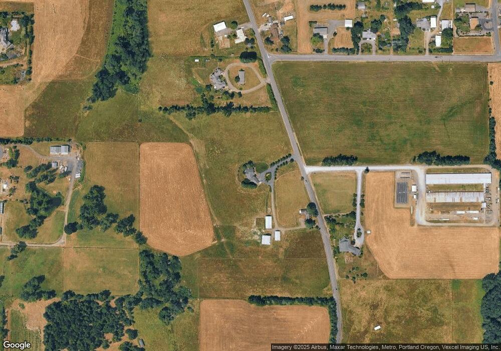
Map
Nearby Homes
- 11800 S Carus Rd
- 11700 S Makin Ln
- 12720 S Carus Rd
- 24843 S Blundell Rd
- 399 S Sequoia Pkwy
- 22396 S Parrot Creek Rd
- 13392 S Carus Rd
- 1072 S Walnut St
- 2211 SE 12th Ave
- 2180 SE 11th Place
- 10038 S New Era Rd Unit 78
- 12950 S New Era Rd
- 1053 S Vine St
- 2125 NE Spitz Rd
- 2123 NE Spitz Rd
- 1620 N Sweetgum St
- 1947 NE 21st Ave
- 1558 NE 10th Place
- 1460 SE 9th Ave
- 1552 NE 19th Loop
- 23567 S Central Point Rd
- 23479 S Central Point Rd
- 23486 S Central Point Rd
- 23702 S Central Point Rd
- 11631 S Carus Rd
- 23887 S Central Point Rd
- 23400 S Central Point Rd
- 23465 S Central Point Rd
- 23460 S Ward Ct
- 11671 S Carus Rd
- 11463 S Township Rd
- 11701 S Carus Rd
- 11260 S Bremer Rd
- 11280 S Bremer Rd
- 23950 S Central Point Rd
- 23400 S Ward Ct
- 23348 S Central Point Rd
- 23461 S Ward Ct
- 23350 S Ward Ct
- 23374 S Payton Dr