Estimated Value: $603,000 - $739,000
3
Beds
2
Baths
2,064
Sq Ft
$328/Sq Ft
Est. Value
About This Home
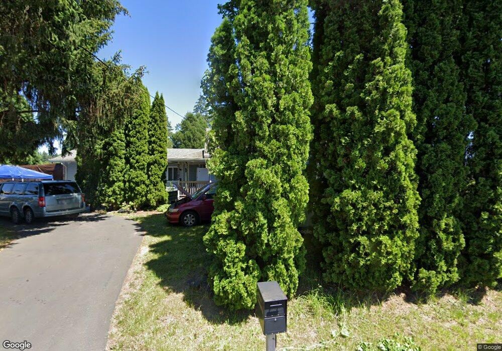
This home is located at 23680 S Barlow Rd, Canby, OR 97013 and is currently estimated at $675,976, approximately $327 per square foot. 23680 S Barlow Rd is a home located in Clackamas County with nearby schools including Howard Eccles Elementary School, Baker Prairie Middle School, and Canby High School.
Ownership History
Date
Name
Owned For
Owner Type
Purchase Details
Closed on
Oct 29, 2010
Sold by
Harris Barbara A
Bought by
Harris Barbara A and Survivors Trust Under The Michael E Harr
Current Estimated Value
Home Financials for this Owner
Home Financials are based on the most recent Mortgage that was taken out on this home.
Original Mortgage
$135,514
Interest Rate
4.27%
Mortgage Type
New Conventional
Purchase Details
Closed on
May 31, 2007
Sold by
Harris Michael E and Harris Barbara A
Bought by
Harris Michael E and Harris Barbara A
Purchase Details
Closed on
Jan 8, 1999
Sold by
Harris Barbara A
Bought by
Harris Michael E
Home Financials for this Owner
Home Financials are based on the most recent Mortgage that was taken out on this home.
Original Mortgage
$72,500
Interest Rate
6.66%
Mortgage Type
Purchase Money Mortgage
Create a Home Valuation Report for This Property
The Home Valuation Report is an in-depth analysis detailing your home's value as well as a comparison with similar homes in the area
Home Values in the Area
Average Home Value in this Area
Purchase History
| Date | Buyer | Sale Price | Title Company |
|---|---|---|---|
| Harris Barbara A | -- | Lsi Lps | |
| Harris Michael E | -- | None Available | |
| Harris Michael E | -- | Oregon Title Insurance Co |
Source: Public Records
Mortgage History
| Date | Status | Borrower | Loan Amount |
|---|---|---|---|
| Closed | Harris Barbara A | $135,514 | |
| Closed | Harris Michael E | $72,500 |
Source: Public Records
Tax History
| Year | Tax Paid | Tax Assessment Tax Assessment Total Assessment is a certain percentage of the fair market value that is determined by local assessors to be the total taxable value of land and additions on the property. | Land | Improvement |
|---|---|---|---|---|
| 2025 | $3,856 | $295,731 | -- | -- |
| 2024 | $3,749 | $287,118 | -- | -- |
| 2023 | $3,749 | $278,756 | $0 | $0 |
| 2022 | $3,428 | $270,637 | $0 | $0 |
| 2021 | $3,294 | $262,755 | $0 | $0 |
| 2020 | $3,244 | $255,102 | $0 | $0 |
| 2019 | $3,075 | $247,672 | $0 | $0 |
| 2018 | $3,011 | $240,458 | $0 | $0 |
| 2017 | $2,938 | $233,454 | $0 | $0 |
| 2016 | $2,837 | $226,654 | $0 | $0 |
Source: Public Records
Map
Nearby Homes
- 6869 S Knights Bridge Rd
- 7136 S King St
- 978 N Alder St
- 795 NW 6th Ave
- 920 N Aspen Ct
- 108 W 1st St
- 625 N Knights Bridge Rd
- 788 NW 13th Ave
- 827 NW 1st Ave
- 0 NW 10th Ave
- 1198 SW 1st Ave
- 1275 N Fir St
- 1199 NW 22nd Ave
- 1151 NW 22nd Ave
- 1165 NW 22nd Ave
- 431 SW 3rd Ave
- 1464 N Hazelnut Ct
- 1250 S Cedar Loop
- 299 SW 3rd Ave
- 1655 S Elm St Unit 526
- 23590 S Barlow Rd
- 23760 S Barlow Rd
- 23795 S Barlow Rd
- 23710 S Barlow Rd
- 23838 S Barlow Rd
- 6970 S Knights Bridge Rd
- 23860 S Barlow Rd
- 23730 S Barlow Rd
- 7180 S Knights Bridge Rd
- 23880 S Barlow Rd
- 6826 S Knights Bridge Rd
- 23465 S Barlow Rd
- 23890 S Barlow Rd
- 23915 S Barlow Rd
- 7201 S Knights Bridge Rd
- 6875 S Gurney Ln
- 7241 S Knights Bridge Rd
- 23950 S Barlow Rd
- 6933 S Arndt Rd
- 6720 S Knights Bridge Rd
Your Personal Tour Guide
Ask me questions while you tour the home.