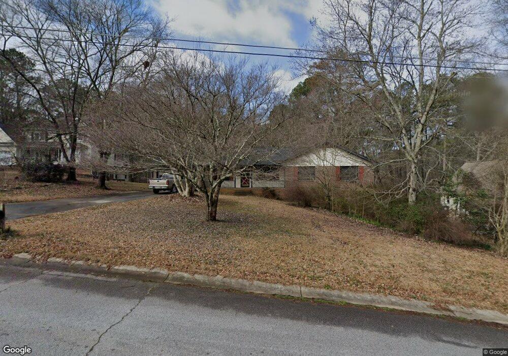
2369 Cannon Hill Rd SW Unit 1 Lilburn, GA 30047
Estimated Value: $335,000 - $374,000
3
Beds
2
Baths
1,717
Sq Ft
$203/Sq Ft
Est. Value
About This Home
This home is located at 2369 Cannon Hill Rd SW Unit 1, Lilburn, GA 30047 and is currently estimated at $348,622, approximately $203 per square foot. 2369 Cannon Hill Rd SW Unit 1 is a home located in Gwinnett County with nearby schools including Shiloh Elementary School, Shiloh Middle School, and Shiloh High School.
Ownership History
Date
Name
Owned For
Owner Type
Purchase Details
Closed on
Sep 15, 2006
Sold by
Wiltz Crystal S
Bought by
Adams Carey A
Current Estimated Value
Home Financials for this Owner
Home Financials are based on the most recent Mortgage that was taken out on this home.
Original Mortgage
$177,500
Outstanding Balance
$104,619
Interest Rate
6.52%
Mortgage Type
New Conventional
Estimated Equity
$244,003
Purchase Details
Closed on
Apr 3, 2002
Sold by
Wiltz John W
Bought by
Wiltz Crystal S
Create a Home Valuation Report for This Property
The Home Valuation Report is an in-depth analysis detailing your home's value as well as a comparison with similar homes in the area
Home Values in the Area
Average Home Value in this Area
Purchase History
| Date | Buyer | Sale Price | Title Company |
|---|---|---|---|
| Adams Carey A | $179,000 | -- | |
| Wiltz Crystal S | -- | -- |
Source: Public Records
Mortgage History
| Date | Status | Borrower | Loan Amount |
|---|---|---|---|
| Open | Adams Carey A | $177,500 |
Source: Public Records
Tax History Compared to Growth
Tax History
| Year | Tax Paid | Tax Assessment Tax Assessment Total Assessment is a certain percentage of the fair market value that is determined by local assessors to be the total taxable value of land and additions on the property. | Land | Improvement |
|---|---|---|---|---|
| 2025 | $3,624 | $126,040 | $25,800 | $100,240 |
| 2024 | $3,650 | $121,400 | $25,800 | $95,600 |
| 2023 | $3,650 | $120,680 | $31,200 | $89,480 |
| 2022 | $3,255 | $104,120 | $26,400 | $77,720 |
| 2021 | $2,905 | $85,400 | $19,600 | $65,800 |
| 2020 | $2,682 | $74,240 | $14,000 | $60,240 |
| 2019 | $2,599 | $74,240 | $14,000 | $60,240 |
| 2018 | $2,521 | $70,440 | $12,000 | $58,440 |
| 2016 | $2,233 | $59,400 | $12,000 | $47,400 |
| 2015 | $2,253 | $59,400 | $12,000 | $47,400 |
| 2014 | -- | $50,280 | $10,000 | $40,280 |
Source: Public Records
Map
Nearby Homes
- 2251 Colonial Oak Way
- 5015 Shadow Path Ln SW
- 2390 Stone Dr SW
- 2291 Rodao Dr SW
- 4922 Signal Ct SW
- 2421 Rockbridge Rd SW
- 4806 Dean Ln SW
- 0 Hudson Dr Unit 7586860
- 5263 Pounds Dr N
- 2158 Vivid Ct
- 2224 Hudson Dr SW
- 5018 Castlewood Dr SW
- 5334 Pounds Dr N
- 5315 Pounds Dr S Unit 5
- 2170 Thorndale Dr SW
- 4882 Rock Haven Dr SW
- 1949 Pucketts Dr SW
- 1937 Pucketts Dr SW
- 4656 Matterhorn Dr SW
- 2406 Creole Creek Cir SW
- 2359 Cannon Hill Rd SW
- 2379 Cannon Hill Rd SW
- 2389 Cannon Hill Rd SW
- 2358 Cannon Hill Rd SW
- 2378 Cannon Hill Rd SW
- 5011 Stones Crossing Dr SW
- 2398 Cannon Hill Rd SW
- 5021 Stones Crossing Dr SW
- 4981 Stones Crossing Dr SW
- 2319 Cannon Hill Rd SW
- 5041 Stones Crossing Dr SW
- 4213 Moncure Dr
- 4203 Moncure Dr
- 4202 Moncure Dr Unit 28
- 4203 Moncure Dr Unit 26
- 2377 Stone Dr SW
- 2377 Stone Dr SW Unit 11
- 2318 Cannon Hill Rd SW Unit 1
- 5002 Stones Crossing Dr SW Unit 4
- 5002 Stones Crossing Dr SW