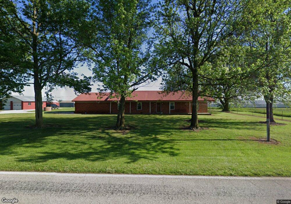
23697 W Highway 12 Gentry, AR 72734
Estimated Value: $500,000 - $829,869
--
Bed
2
Baths
2,510
Sq Ft
$268/Sq Ft
Est. Value
About This Home
This home is located at 23697 W Highway 12, Gentry, AR 72734 and is currently estimated at $673,717, approximately $268 per square foot. 23697 W Highway 12 is a home located in Benton County with nearby schools including Northside Elementary School, Delbert Pete & Pat Allen Elementary School, and Southside Elementary School.
Ownership History
Date
Name
Owned For
Owner Type
Purchase Details
Closed on
Sep 23, 2015
Sold by
Adler Frederick R and Adler Lois K
Bought by
Schwartz Delbert and Schwartz Judy
Current Estimated Value
Home Financials for this Owner
Home Financials are based on the most recent Mortgage that was taken out on this home.
Original Mortgage
$285,000
Interest Rate
3.85%
Mortgage Type
Future Advance Clause Open End Mortgage
Purchase Details
Closed on
Dec 30, 1996
Bought by
Adler
Purchase Details
Closed on
Feb 17, 1995
Bought by
Fuller
Purchase Details
Closed on
May 30, 1986
Bought by
Marquess
Purchase Details
Closed on
Mar 23, 1981
Bought by
Schwerin
Purchase Details
Closed on
Jun 21, 1978
Bought by
Reinhardt
Create a Home Valuation Report for This Property
The Home Valuation Report is an in-depth analysis detailing your home's value as well as a comparison with similar homes in the area
Home Values in the Area
Average Home Value in this Area
Purchase History
| Date | Buyer | Sale Price | Title Company |
|---|---|---|---|
| Schwartz Delbert | $525,000 | Waco Title Company | |
| Adler | $308,000 | -- | |
| Fuller | -- | -- | |
| Woodall | $166,000 | -- | |
| Woodall | $129,000 | -- | |
| Marquess | $150,000 | -- | |
| Schwerin | $112,000 | -- | |
| Reinhardt | $165,000 | -- |
Source: Public Records
Mortgage History
| Date | Status | Borrower | Loan Amount |
|---|---|---|---|
| Previous Owner | Schwartz Delbert | $285,000 |
Source: Public Records
Tax History Compared to Growth
Tax History
| Year | Tax Paid | Tax Assessment Tax Assessment Total Assessment is a certain percentage of the fair market value that is determined by local assessors to be the total taxable value of land and additions on the property. | Land | Improvement |
|---|---|---|---|---|
| 2025 | $5,712 | $132,678 | $6,817 | $125,861 |
| 2024 | $5,468 | $133,834 | $6,817 | $127,017 |
| 2023 | $6,232 | $124,649 | $4,169 | $120,480 |
| 2022 | $6,072 | $124,650 | $4,170 | $120,480 |
| 2021 | $5,765 | $124,650 | $4,170 | $120,480 |
| 2020 | $5,477 | $110,200 | $2,540 | $107,660 |
| 2019 | $5,477 | $110,200 | $2,540 | $107,660 |
| 2018 | $5,502 | $110,200 | $2,540 | $107,660 |
| 2017 | $5,502 | $110,200 | $2,540 | $107,660 |
| 2016 | $5,502 | $110,200 | $2,540 | $107,660 |
| 2015 | $2,703 | $54,050 | $2,580 | $51,470 |
| 2014 | $2,353 | $54,050 | $2,580 | $51,470 |
Source: Public Records
Map
Nearby Homes
- 23540 Arkansas 12
- 23963 Floyd Moore Rd
- 11419 Cripps Rd
- 0 Ruby Hall Rd Unit 1296833
- 0 Ruby Hall Rd Unit 25-289
- 0000 Cripps Rd
- 22844 Floyd Moore Rd
- TBD N Bloomfield Rd
- 10302 Bloomfield North Rd
- 12007 Swepco Lake Rd
- 0 Swepco Lake Rd Unit 1327398
- 0 Swepco Lake Rd Unit 1327399
- 0 Swepco Lake Rd Unit 1327400
- TBD Swepco Lake Rd
- 11230 John Zodrow Rd
- 21944 Arkansas 12
- 22.56 Acres Floyd Moore Rd
- TBD East Floyd Moore Rd
- TBD west Floyd Moore Rd
- . Floyd Moore Rd
- 23697 W Hwy 12
- 23830 W Highway 12
- 23619 Arkansas 12
- 23619 W Highway 12
- 11183 Ruby Hall Rd
- 11190 Ruby Hall Rd
- 23535 W Highway 12
- 23540 W Highway 12
- 10998 Ruby Hall Rd
- 11077 Ruby Hall Rd
- 23607 W Highway 12
- 23480 W Highway 12
- 23480 W Highway 12
- 23601 W Highway 12
- 23481 W Highway 12
- 23460 W Highway 12
- 10986 Ruby Hall Rd
- 23980 W Highway 12 Hwy
- 23418 W Highway 12
- 11309 Morris Maxwell Ln