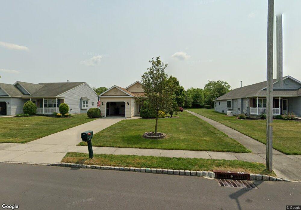
237 Gaunt Dr Mickleton, NJ 08056
Estimated Value: $336,219 - $381,000
2
Beds
2
Baths
1,204
Sq Ft
$299/Sq Ft
Est. Value
About This Home
This home is located at 237 Gaunt Dr, Mickleton, NJ 08056 and is currently estimated at $359,555, approximately $298 per square foot. 237 Gaunt Dr is a home located in Gloucester County with nearby schools including Jeffrey Clark School, Samuel Mickle School, and Kingsway Regional Middle School.
Ownership History
Date
Name
Owned For
Owner Type
Purchase Details
Closed on
Nov 6, 2009
Sold by
Estate Of Betty More and Fernan Lawrence W
Bought by
Edwards Richard P and Edwards Naomi
Current Estimated Value
Home Financials for this Owner
Home Financials are based on the most recent Mortgage that was taken out on this home.
Original Mortgage
$127,500
Outstanding Balance
$83,508
Interest Rate
5.06%
Mortgage Type
New Conventional
Estimated Equity
$276,048
Purchase Details
Closed on
Feb 19, 1999
Sold by
M & R Builders Inc
Bought by
More Betty
Create a Home Valuation Report for This Property
The Home Valuation Report is an in-depth analysis detailing your home's value as well as a comparison with similar homes in the area
Home Values in the Area
Average Home Value in this Area
Purchase History
| Date | Buyer | Sale Price | Title Company |
|---|---|---|---|
| Edwards Richard P | $187,500 | Homestead Title Agency | |
| More Betty | $123,570 | Congress Title Corp |
Source: Public Records
Mortgage History
| Date | Status | Borrower | Loan Amount |
|---|---|---|---|
| Open | Edwards Richard P | $127,500 |
Source: Public Records
Tax History
| Year | Tax Paid | Tax Assessment Tax Assessment Total Assessment is a certain percentage of the fair market value that is determined by local assessors to be the total taxable value of land and additions on the property. | Land | Improvement |
|---|---|---|---|---|
| 2025 | $5,671 | $178,400 | $45,600 | $132,800 |
| 2024 | $5,491 | $178,400 | $45,600 | $132,800 |
| 2023 | $5,491 | $178,400 | $45,600 | $132,800 |
| 2022 | $5,336 | $178,400 | $45,600 | $132,800 |
| 2021 | $4,597 | $178,400 | $45,600 | $132,800 |
| 2020 | $5,397 | $178,400 | $45,600 | $132,800 |
| 2019 | $5,341 | $178,400 | $45,600 | $132,800 |
| 2018 | $4,965 | $150,600 | $40,600 | $110,000 |
| 2017 | $4,901 | $150,600 | $40,600 | $110,000 |
| 2016 | $4,593 | $150,600 | $40,600 | $110,000 |
| 2015 | $4,391 | $150,600 | $40,600 | $110,000 |
| 2014 | $4,105 | $150,600 | $40,600 | $110,000 |
Source: Public Records
Map
Nearby Homes
- 241 Gaunt Dr
- 423 Country Way
- 415 Country Way
- 427 Birch Dr
- 200 David Mills Ln
- 355 Friendship Rd
- 120 Jubilee Dr
- 18 Millwood Dr
- 209 Charles Corliss Blvd
- 312 Croce Ave
- 2214 Lamington Ct
- 17 Polo Run
- 1115 Kohana Dr
- 1224 Heddon Ave
- 1265 Walter Ave
- 71 W Tomlin Station Rd
- 1221 Walter Ave
- 255 Elizabeth Ave
- 37 Harmony Rd
- 0 Lodge Ave
Your Personal Tour Guide
Ask me questions while you tour the home.