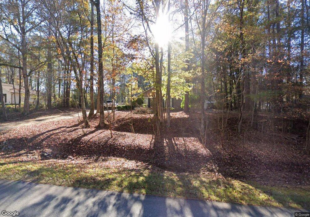
237 Grant Rd Cataula, GA 31804
Cataula NeighborhoodEstimated Value: $219,124 - $314,000
3
Beds
2
Baths
1,378
Sq Ft
$182/Sq Ft
Est. Value
About This Home
This home is located at 237 Grant Rd, Cataula, GA 31804 and is currently estimated at $250,781, approximately $181 per square foot. 237 Grant Rd is a home located in Harris County with nearby schools including Mulberry Creek Elementary School, Creekside School, and Harris County Carver Middle School.
Ownership History
Date
Name
Owned For
Owner Type
Purchase Details
Closed on
Mar 13, 2017
Sold by
Burt Ashlee
Bought by
Cobb Cherine D
Current Estimated Value
Home Financials for this Owner
Home Financials are based on the most recent Mortgage that was taken out on this home.
Original Mortgage
$136,363
Outstanding Balance
$112,536
Interest Rate
4.17%
Mortgage Type
New Conventional
Estimated Equity
$138,245
Purchase Details
Closed on
Aug 6, 2012
Sold by
Thornton Roy
Bought by
Strickland Ashlee and Strickland Edward L
Home Financials for this Owner
Home Financials are based on the most recent Mortgage that was taken out on this home.
Original Mortgage
$129,117
Interest Rate
3.37%
Mortgage Type
FHA
Purchase Details
Closed on
Aug 25, 2010
Sold by
The Bank Of New York Mellon
Bought by
Thonton Roy D
Purchase Details
Closed on
Jan 5, 2010
Sold by
The Bank Of New York Mellon
Bought by
The Bank Of New York Mellon
Purchase Details
Closed on
Oct 10, 2002
Sold by
Dupriest Michael E and Dupriest Betty
Bought by
Dupriest Michael E and Dupriest Sharon
Purchase Details
Closed on
Nov 14, 1997
Bought by
Dupriest Michael E and Dupriest Betty
Create a Home Valuation Report for This Property
The Home Valuation Report is an in-depth analysis detailing your home's value as well as a comparison with similar homes in the area
Home Values in the Area
Average Home Value in this Area
Purchase History
| Date | Buyer | Sale Price | Title Company |
|---|---|---|---|
| Cobb Cherine D | $135,000 | -- | |
| Strickland Ashlee | $131,500 | -- | |
| Thonton Roy D | $94,500 | -- | |
| The Bank Of New York Mellon | $96,400 | -- | |
| Dupriest Michael E | -- | -- | |
| Dupriest Michael E | $85,900 | -- |
Source: Public Records
Mortgage History
| Date | Status | Borrower | Loan Amount |
|---|---|---|---|
| Open | Cobb Cherine D | $136,363 | |
| Previous Owner | Strickland Ashlee | $129,117 |
Source: Public Records
Tax History Compared to Growth
Tax History
| Year | Tax Paid | Tax Assessment Tax Assessment Total Assessment is a certain percentage of the fair market value that is determined by local assessors to be the total taxable value of land and additions on the property. | Land | Improvement |
|---|---|---|---|---|
| 2025 | $2,318 | $75,763 | $6,850 | $68,913 |
| 2024 | $1,683 | $57,588 | $3,556 | $54,032 |
| 2023 | $1,686 | $57,714 | $3,556 | $54,158 |
| 2022 | $1,655 | $56,535 | $3,556 | $52,979 |
| 2021 | $1,631 | $53,605 | $3,556 | $50,049 |
| 2020 | $1,631 | $53,605 | $3,556 | $50,049 |
| 2019 | $1,577 | $53,605 | $3,556 | $50,049 |
| 2018 | $1,573 | $52,362 | $3,556 | $48,806 |
| 2017 | $1,487 | $53,080 | $3,556 | $49,524 |
| 2016 | $1,198 | $46,380 | $3,556 | $42,824 |
| 2015 | $1,201 | $46,380 | $3,556 | $42,824 |
| 2014 | $1,252 | $48,376 | $3,556 | $44,820 |
| 2013 | -- | $48,491 | $5,496 | $42,994 |
Source: Public Records
Map
Nearby Homes
- 11740 Ga Highway 315
- 13145 Ga Highway 315
- 111 E Bon Acre Rd
- 73 Cataula Dr
- 7131 US Highway 27
- 909 Red Fox Ct
- 226.04 Ac Kingsboro Rd
- 141 Voorhees Rd
- 226.04+/-AC Kingsboro Rd
- 492 Mulberry Crossing Dr
- 4420 Hudson Mill Rd
- 111 Shadewood Dr
- 2388 Ga Highway 208
- 385 Hudson Mill Cir
- 395 Walker Rd
- 0 Walker Rd
- 218 E East Bonacre Rd
- 235 Oak Grove Way
- 10933 US Highway 27 E
- 511 Sweetwater Dr
