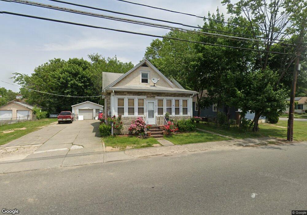
237 Harding Hwy Carneys Point, NJ 08069
Estimated Value: $168,096 - $258,000
--
Bed
--
Bath
1,265
Sq Ft
$177/Sq Ft
Est. Value
About This Home
This home is located at 237 Harding Hwy, Carneys Point, NJ 08069 and is currently estimated at $224,032, approximately $177 per square foot. 237 Harding Hwy is a home located in Salem County with nearby schools including Lafayette-Pershing Elementary School, Field Street Elementary School, and Paul W. Carleton Elementary School.
Ownership History
Date
Name
Owned For
Owner Type
Purchase Details
Closed on
Sep 3, 2004
Sold by
Dzierzynski Nicholas
Bought by
Kandys Properties Llc
Current Estimated Value
Home Financials for this Owner
Home Financials are based on the most recent Mortgage that was taken out on this home.
Original Mortgage
$164,000
Outstanding Balance
$82,332
Interest Rate
6.08%
Mortgage Type
Purchase Money Mortgage
Estimated Equity
$141,700
Create a Home Valuation Report for This Property
The Home Valuation Report is an in-depth analysis detailing your home's value as well as a comparison with similar homes in the area
Home Values in the Area
Average Home Value in this Area
Purchase History
| Date | Buyer | Sale Price | Title Company |
|---|---|---|---|
| Kandys Properties Llc | $75,000 | -- |
Source: Public Records
Mortgage History
| Date | Status | Borrower | Loan Amount |
|---|---|---|---|
| Open | Kandys Properties Llc | $164,000 |
Source: Public Records
Tax History Compared to Growth
Tax History
| Year | Tax Paid | Tax Assessment Tax Assessment Total Assessment is a certain percentage of the fair market value that is determined by local assessors to be the total taxable value of land and additions on the property. | Land | Improvement |
|---|---|---|---|---|
| 2025 | $4,270 | $236,200 | $49,800 | $186,400 |
| 2024 | $4,122 | $115,800 | $29,600 | $86,200 |
| 2023 | $4,122 | $115,800 | $29,600 | $86,200 |
| 2022 | $3,879 | $115,800 | $29,600 | $86,200 |
| 2021 | $3,842 | $115,800 | $29,600 | $86,200 |
| 2020 | $3,876 | $115,800 | $29,600 | $86,200 |
| 2019 | $3,908 | $115,800 | $29,600 | $86,200 |
| 2018 | $4,276 | $135,800 | $41,300 | $94,500 |
| 2017 | $3,987 | $135,800 | $41,300 | $94,500 |
| 2016 | $3,842 | $135,800 | $41,300 | $94,500 |
| 2015 | $3,663 | $135,800 | $41,300 | $94,500 |
| 2014 | $3,467 | $135,800 | $41,300 | $94,500 |
Source: Public Records
Map
Nearby Homes
- 15 1/2 N Miller Ave
- 279 Logwood Ave
- 45 S Virginia Ave
- 65 S Miller Ave
- 253 Dixie Dr
- 83 Willis St
- 114 Deming Ave
- 5 Dixie Dr
- 39 41 Cumberland Ave
- 32 Walnut St
- 55 57 Walnut St
- 59-61 Walnut St
- 243 Wintergreen Ln
- 34 38 Cumberland Ave
- 0 Park Ave Unit NJSA2013690
- 0 Lincoln Avenue & Cumberland
- 0 Cumberland Ave
- 150 Penns Grove Auburn Rd
- 32 Westminster Ave
- 113 Primrose Ln
- 239 Harding Hwy
- 2 N Miller Ave
- 8 N Miller Ave
- 238 Harding Hwy
- 240 E Main St
- 3 N Miller Ave
- 244 Harding Hwy
- 225 Harding Hwy Unit 227
- 7 S Norman Ave
- 6 N Miller Ave
- 7 N Miller Ave
- 247 Harding Hwy
- 93 Maryland Ave
- 223 E Main St
- 9 S Norman Ave
- 246 Harding Hwy
- 246 E Main St
- 10 S Miller Ave
- 238 E Main St
- 8 N Norman Ave