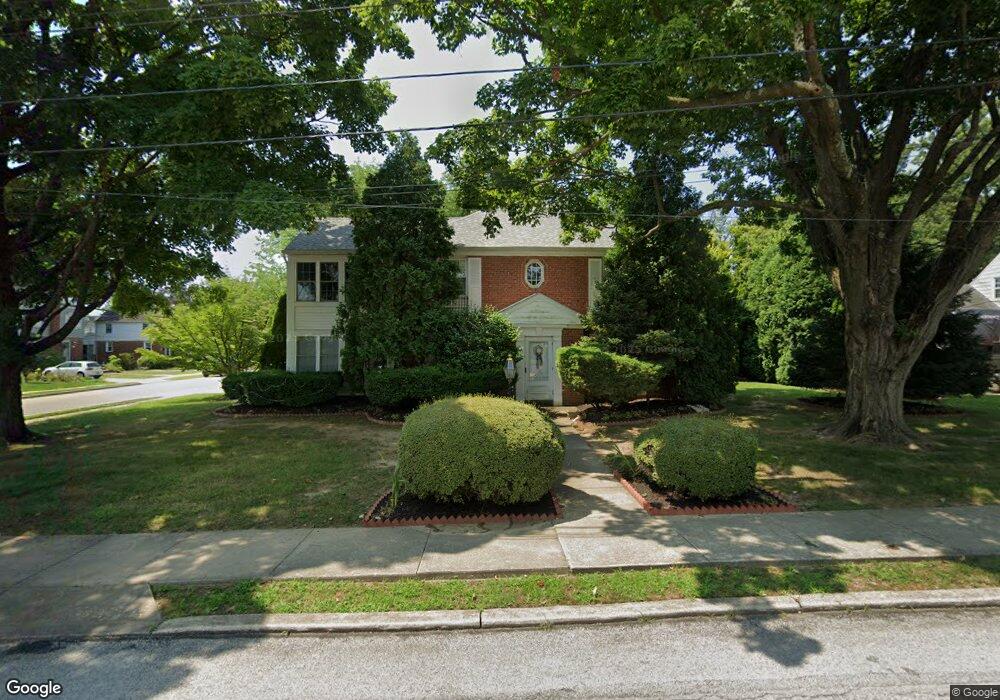
237 Linden Ave Unit BOX B Rutledge, PA 19070
Estimated Value: $409,000 - $542,000
2
Beds
1
Bath
1,996
Sq Ft
$235/Sq Ft
Est. Value
About This Home
This home is located at 237 Linden Ave Unit BOX B, Rutledge, PA 19070 and is currently estimated at $468,341, approximately $234 per square foot. 237 Linden Ave Unit BOX B is a home located in Delaware County with nearby schools including Swarthmore-Rutledge School, Strath Haven Middle School, and Strath Haven High School.
Ownership History
Date
Name
Owned For
Owner Type
Purchase Details
Closed on
Jan 31, 2025
Sold by
Mcgaughey Marta Diane and Mcgaughey Steven E
Bought by
Mcgaughey Steven E
Current Estimated Value
Purchase Details
Closed on
Mar 24, 2016
Sold by
Mcgaughey Marta Diane
Bought by
Mcgaughey Marta Diane and Mcgaughey Steven E
Purchase Details
Closed on
Jun 30, 1999
Sold by
Halsey Myrtle Eugenia and Mcgaughey Marta Diane
Bought by
Mcgaughey Marta Diane
Create a Home Valuation Report for This Property
The Home Valuation Report is an in-depth analysis detailing your home's value as well as a comparison with similar homes in the area
Home Values in the Area
Average Home Value in this Area
Purchase History
| Date | Buyer | Sale Price | Title Company |
|---|---|---|---|
| Mcgaughey Steven E | -- | None Listed On Document | |
| Mcgaughey Marta Diane | -- | None Available | |
| Mcgaughey Marta Diane | -- | -- |
Source: Public Records
Tax History Compared to Growth
Tax History
| Year | Tax Paid | Tax Assessment Tax Assessment Total Assessment is a certain percentage of the fair market value that is determined by local assessors to be the total taxable value of land and additions on the property. | Land | Improvement |
|---|---|---|---|---|
| 2025 | $12,435 | $346,550 | $82,540 | $264,010 |
| 2024 | $12,435 | $346,550 | $82,540 | $264,010 |
| 2023 | $11,869 | $346,550 | $82,540 | $264,010 |
| 2022 | $11,572 | $346,550 | $82,540 | $264,010 |
| 2021 | $19,019 | $346,550 | $82,540 | $264,010 |
| 2020 | $8,532 | $143,680 | $41,860 | $101,820 |
| 2019 | $8,177 | $143,680 | $41,860 | $101,820 |
| 2018 | $8,042 | $143,680 | $0 | $0 |
| 2017 | $7,861 | $143,680 | $0 | $0 |
| 2016 | $805 | $143,680 | $0 | $0 |
| 2015 | $805 | $143,680 | $0 | $0 |
| 2014 | $805 | $143,680 | $0 | $0 |
Source: Public Records
Map
Nearby Homes
- 216-218 President Ave
- 742 Agnes Ave
- 136 Linden Ave
- 115 President Ave
- 1828 5th Ave
- 1226 Redwood Ave
- 226 W Sylvan Ave
- 1015 Mitchell Ave
- 505 Fernwood Ave
- 225 Swarthmore Ave
- 1305 University Ave
- 222 Ridley Ave
- 1238 University Ave
- 516 Edgewood Ave
- 31 Silver Lake Terrace Unit 32
- 912 Edgewood Ave
- 2 Yale Ave
- 121 Swarthmore Ave
- 357 Cedar Ave
- 7 & 0 Woodland Ave
- 237 Linden Ave
- 1505 Melrose Terrace
- 231 Linden Ave
- 230 Linden Ave
- 1512 Melrose Terrace
- 1504 Melrose Terrace
- 225 Linden Ave
- 621 Sutton Ave
- 236 President Ave
- 234 President Ave
- 1502 Melrose Terrace
- 230 President Ave
- 226 Linden Ave
- 636 Springfield Ave
- 223 Linden Ave
- 226 President Ave
- 222 Linden Ave
- 224 Linden Ave
- 617 Tasker Ave
- 622 Sutton Ave