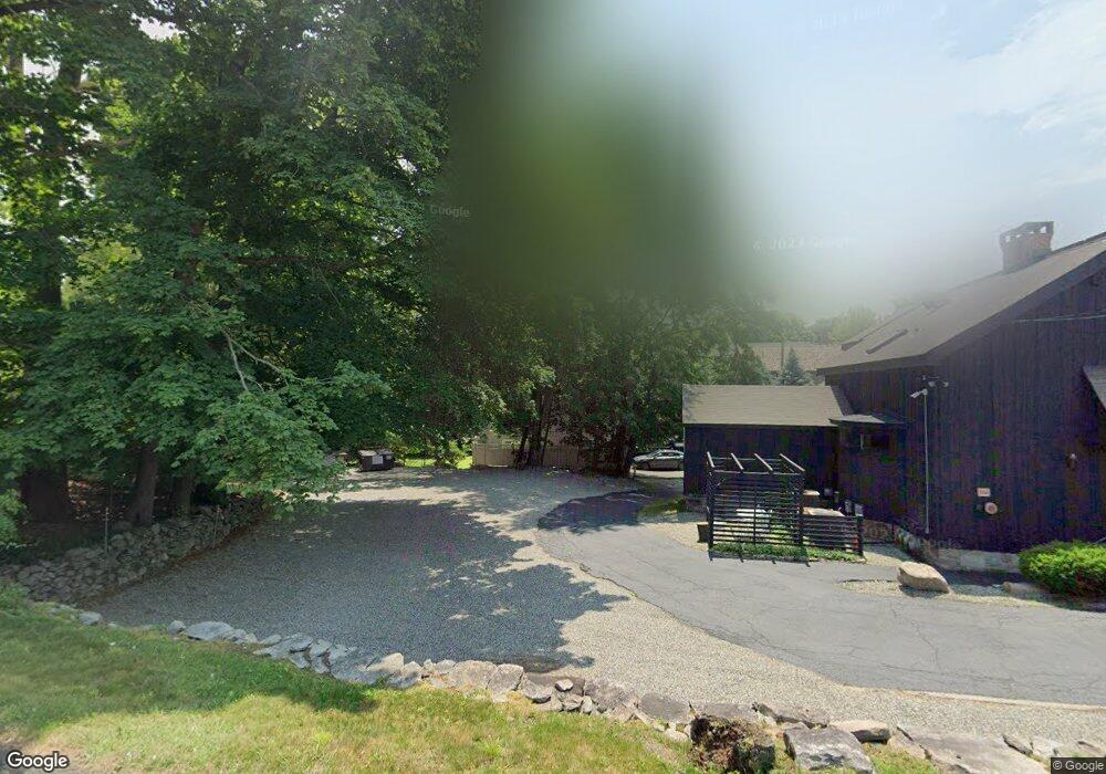
237 Post Rd W Westport, CT 06880
Saugatuck NeighborhoodEstimated Value: $814,406
3
Beds
3
Baths
2,720
Sq Ft
$299/Sq Ft
Est. Value
About This Home
This home is located at 237 Post Rd W, Westport, CT 06880 and is currently estimated at $814,406, approximately $299 per square foot. 237 Post Rd W is a home located in Fairfield County with nearby schools including King's Highway Elementary School, Coleytown Middle School, and Staples High School.
Ownership History
Date
Name
Owned For
Owner Type
Purchase Details
Closed on
Nov 15, 1994
Sold by
Cirino Leo
Bought by
Beargrass Inc
Current Estimated Value
Home Financials for this Owner
Home Financials are based on the most recent Mortgage that was taken out on this home.
Original Mortgage
$150,000
Interest Rate
8.78%
Mortgage Type
Commercial
Create a Home Valuation Report for This Property
The Home Valuation Report is an in-depth analysis detailing your home's value as well as a comparison with similar homes in the area
Home Values in the Area
Average Home Value in this Area
Purchase History
| Date | Buyer | Sale Price | Title Company |
|---|---|---|---|
| Beargrass Inc | $200,000 | -- | |
| Beargrass Inc | $200,000 | -- |
Source: Public Records
Mortgage History
| Date | Status | Borrower | Loan Amount |
|---|---|---|---|
| Closed | Beargrass Inc | $150,000 |
Source: Public Records
Tax History Compared to Growth
Tax History
| Year | Tax Paid | Tax Assessment Tax Assessment Total Assessment is a certain percentage of the fair market value that is determined by local assessors to be the total taxable value of land and additions on the property. | Land | Improvement |
|---|---|---|---|---|
| 2025 | $8,249 | $437,400 | $264,600 | $172,800 |
| 2024 | $8,144 | $437,400 | $264,600 | $172,800 |
| 2023 | $8,026 | $437,400 | $264,600 | $172,800 |
| 2022 | $7,904 | $437,400 | $264,600 | $172,800 |
| 2021 | $7,904 | $437,400 | $264,600 | $172,800 |
| 2020 | $8,733 | $522,600 | $294,000 | $228,600 |
| 2019 | $8,811 | $522,600 | $294,000 | $228,600 |
| 2018 | $8,811 | $522,600 | $294,000 | $228,600 |
| 2017 | $8,811 | $522,600 | $294,000 | $228,600 |
| 2016 | $8,811 | $522,600 | $294,000 | $228,600 |
| 2015 | $8,967 | $495,700 | $292,800 | $202,900 |
| 2014 | $8,893 | $495,700 | $292,800 | $202,900 |
Source: Public Records
Map
Nearby Homes
- 42 Kings Hwy S
- 21 Wright St
- 3 Laurel Ln
- 33 Pequot Trail
- 13 Hills Ln
- 5 Franklin Ave
- 26 Treadwell Ave
- 11 Old Hill Rd
- 60 Wilton Rd Unit 2C
- 102 Compo Rd S
- 13 Orchard Hill Rd
- 7 Renzulli Rd
- 20 Old Hill Rd
- 15 Renzulli Rd
- 23 Bridge St
- 7 Peaceful Ln
- 14 Strathmore Ln
- 202 Bradley Ln Unit 202
- 5A Sunrise Rd
- 113 Kings Hwy N
- 245 Post Rd W
- 4 Sylvan Rd S
- 8A Sylvan Rd S
- 8 Sylvan Rd S
- 6 Sylvan Rd S
- 6 Sullivan Place S
- 0 Post Rd W Unit 99037787
- 0 Post Rd W Unit 99060896
- 221 Post Rd W
- 7 Sylvan Rd S
- 215 Post Rd W Unit A
- 10 Sylvan Rd S
- 1 Sylvan Rd N Unit C
- 1 Sylvan Rd N Unit B
- 1 Sylvan Rd N Unit A
- 9 Sylvan Rd S
- 273 Post Rd W Unit 2ND F
- 11 Sylvan Rd S
- 3 Sandy Hill Terrace
- 8 Sylvan Rd N