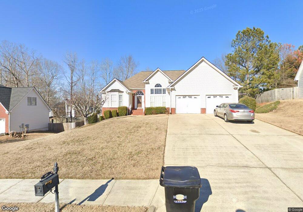
237 Trotter Way Unit 267 Dallas, GA 30132
East Paulding County NeighborhoodEstimated Value: $325,000 - $366,750
3
Beds
3
Baths
1,936
Sq Ft
$181/Sq Ft
Est. Value
About This Home
This home is located at 237 Trotter Way Unit 267, Dallas, GA 30132 and is currently estimated at $349,938, approximately $180 per square foot. 237 Trotter Way Unit 267 is a home located in Paulding County with nearby schools including Northside Elementary School, Lena Mae Moses Middle School, and East Paulding High School.
Ownership History
Date
Name
Owned For
Owner Type
Purchase Details
Closed on
Oct 25, 2007
Sold by
Marson Kevin H
Bought by
Marson Kevin H and Marson Latoya M
Current Estimated Value
Home Financials for this Owner
Home Financials are based on the most recent Mortgage that was taken out on this home.
Original Mortgage
$154,280
Outstanding Balance
$97,059
Interest Rate
6.27%
Mortgage Type
New Conventional
Estimated Equity
$252,879
Create a Home Valuation Report for This Property
The Home Valuation Report is an in-depth analysis detailing your home's value as well as a comparison with similar homes in the area
Home Values in the Area
Average Home Value in this Area
Purchase History
| Date | Buyer | Sale Price | Title Company |
|---|---|---|---|
| Marson Kevin H | -- | -- | |
| Marson Kevin H | -- | -- |
Source: Public Records
Mortgage History
| Date | Status | Borrower | Loan Amount |
|---|---|---|---|
| Open | Marson Kevin H | $154,280 |
Source: Public Records
Tax History Compared to Growth
Tax History
| Year | Tax Paid | Tax Assessment Tax Assessment Total Assessment is a certain percentage of the fair market value that is determined by local assessors to be the total taxable value of land and additions on the property. | Land | Improvement |
|---|---|---|---|---|
| 2024 | $3,701 | $148,776 | $12,000 | $136,776 |
| 2023 | $3,857 | $147,956 | $12,000 | $135,956 |
| 2022 | $3,222 | $123,596 | $12,000 | $111,596 |
| 2021 | $2,867 | $98,648 | $12,000 | $86,648 |
| 2020 | $2,680 | $90,232 | $12,000 | $78,232 |
| 2019 | $2,421 | $80,344 | $12,000 | $68,344 |
| 2018 | $2,363 | $78,444 | $12,000 | $66,444 |
| 2017 | $2,230 | $73,008 | $12,000 | $61,008 |
| 2016 | $2,066 | $68,332 | $12,000 | $56,332 |
| 2015 | $1,963 | $63,780 | $12,000 | $51,780 |
| 2014 | $1,594 | $50,484 | $12,000 | $38,484 |
| 2013 | -- | $42,040 | $12,000 | $30,040 |
Source: Public Records
Map
Nearby Homes
- 443 Brooks Rd
- 32 Stable Ln
- 74 Riders Ridge
- 16 Riders Ridge
- 70 Stallion Run
- 68 Wagon Trail Cir
- 791 Brooks Rd
- The McGinnis Plan at Jones Ridge
- The Langford Plan at Jones Ridge
- The Ellijay Plan at Jones Ridge
- The Palmer Plan at Jones Ridge
- The James Plan at Jones Ridge
- The Lancaster Plan at Jones Ridge
- The Avery Plan at Jones Ridge
- 57 Saddle Brooke Dr
- 181 Beckett Dr
- 222 River Run Dr
- 222 River Run Dr Unit 82
- 234 River Run Dr
- 234 River Run Dr Unit 81
- 237 Trotters Way Unit 267
- 237 Trotters Way
- 219 Trotters Way
- 255 Trotters Way
- 216 Stallion Run
- 202 Stallion Run
- 226 Trotters Way
- 201 Trotter Way
- 201 Trotters Way
- 267 Trotters Way
- 190 Stallion Run
- 1067 Saddle Brooke Dr
- 224 Stallion Run
- 208 Trotters Way
- 175 Trotters Way
- 293 Trotters Way
- 221 Stallion Run
- 1033 Saddle Brooke Dr
- 176 Stallion Run
- 1015 Saddle Brooke Dr