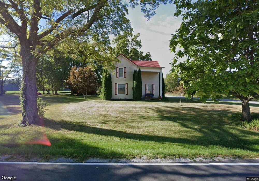
2370 Oakland Locust Ridge Rd Mount Orab, OH 45154
Estimated Value: $278,227 - $358,000
3
Beds
2
Baths
1,421
Sq Ft
$229/Sq Ft
Est. Value
About This Home
This home is located at 2370 Oakland Locust Ridge Rd, Mount Orab, OH 45154 and is currently estimated at $325,557, approximately $229 per square foot. 2370 Oakland Locust Ridge Rd is a home located in Brown County with nearby schools including Western Brown High School.
Ownership History
Date
Name
Owned For
Owner Type
Purchase Details
Closed on
Aug 16, 2005
Sold by
Anderson Donald L and Anderson Lisa A
Bought by
Cincinnati Capital Partners Xxviii Llc
Current Estimated Value
Home Financials for this Owner
Home Financials are based on the most recent Mortgage that was taken out on this home.
Original Mortgage
$100,000
Outstanding Balance
$48,566
Interest Rate
4.5%
Mortgage Type
Purchase Money Mortgage
Estimated Equity
$276,991
Purchase Details
Closed on
May 28, 2004
Sold by
Rodgers Cecil R and Rodgers Vickey E
Bought by
Anderson Donald L and Anderson Lisa A
Create a Home Valuation Report for This Property
The Home Valuation Report is an in-depth analysis detailing your home's value as well as a comparison with similar homes in the area
Home Values in the Area
Average Home Value in this Area
Purchase History
| Date | Buyer | Sale Price | Title Company |
|---|---|---|---|
| Cincinnati Capital Partners Xxviii Llc | $7,666 | -- | |
| Anderson Donald L | $3,500 | -- |
Source: Public Records
Mortgage History
| Date | Status | Borrower | Loan Amount |
|---|---|---|---|
| Open | Cincinnati Capital Partners Xxviii Llc | $100,000 |
Source: Public Records
Tax History Compared to Growth
Tax History
| Year | Tax Paid | Tax Assessment Tax Assessment Total Assessment is a certain percentage of the fair market value that is determined by local assessors to be the total taxable value of land and additions on the property. | Land | Improvement |
|---|---|---|---|---|
| 2024 | $2,474 | $79,670 | $7,000 | $72,670 |
| 2023 | $1,942 | $58,550 | $4,200 | $54,350 |
| 2022 | $1,940 | $58,550 | $4,200 | $54,350 |
| 2021 | $1,920 | $58,550 | $4,200 | $54,350 |
| 2020 | $1,643 | $48,790 | $3,500 | $45,290 |
| 2019 | $956 | $48,790 | $3,500 | $45,290 |
| 2018 | $1,618 | $48,790 | $3,500 | $45,290 |
| 2017 | $1,412 | $42,240 | $2,890 | $39,350 |
| 2016 | $1,412 | $42,240 | $2,890 | $39,350 |
| 2015 | $1,470 | $42,240 | $2,890 | $39,350 |
| 2014 | $1,470 | $41,980 | $2,630 | $39,350 |
| 2013 | $1,469 | $41,980 | $2,630 | $39,350 |
Source: Public Records
Map
Nearby Homes
- 12570 Liming van Thompson Rd
- 3305 Pleasant Hill Rd
- 153 Willow Run Rd
- 12795 U S 68
- 3524 Pleasant Hill Rd
- 11475 Colthar Rd
- 100 Longwood Blvd
- 11818 Cloverlick Rd
- 115 Sweet Bay Trail
- 103 Stone Trace Dr
- 3750 Starling Rd
- 108 Boulder Dr
- 11026 Stratton Rd
- 3644 Deer Trace
- 781 S High St
- 3685 Happy Hollow Rd
- 2437 Tri County Hwy
- 3722 Coon Ave
- 0 Colthar Rd Unit 1822757
- 424 Liming Farm Rd
- 2370 Oakland Locust Ridge Rd
- 2344 Oakland Locust Ridge Rd
- 12707 Robinson Rd
- 2309 Oakland Locust Ridge Rd
- 12719 Robinson Rd
- 19 Oakland-Locust Ridge Rd Unit ac
- 5.4400ac Oakland-Locust Ridge Rd
- 0 Oakland-Locust Ridge Rd
- 2294 Oakland Locust Ridge Rd
- 2467 Oakland Locust Ridge Rd
- 12675 Robinson Rd
- 2282 Oakland Locust Ridge Rd
- 6 Gargonia Rd
- 12850 Gargonia Rd
- 2254 Oakland Locust Ridge Rd
- 12835 Gargonia Rd
- 12632 Robinson Rd
- 12635 Robinson Rd
- 2219 Oakland Locust Ridge Rd
- 2501 Oakland Locust Ridge Rd