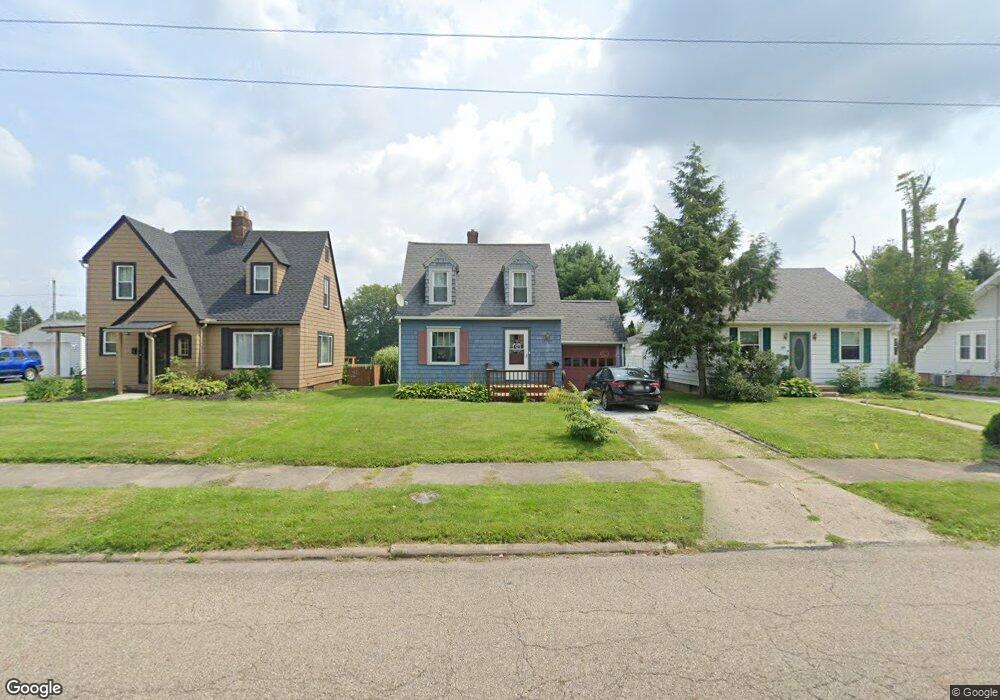
2370 Shunk Ave Alliance, OH 44601
Estimated Value: $125,000 - $149,000
2
Beds
1
Bath
924
Sq Ft
$144/Sq Ft
Est. Value
About This Home
This home is located at 2370 Shunk Ave, Alliance, OH 44601 and is currently estimated at $133,312, approximately $144 per square foot. 2370 Shunk Ave is a home located in Stark County with nearby schools including Alliance Elementary School at Rockhill, Alliance Intermediate School at Northside, and Alliance Middle School.
Ownership History
Date
Name
Owned For
Owner Type
Purchase Details
Closed on
Jun 7, 2024
Sold by
Grove Julie Ann and Oeler Jeffrey D
Bought by
Brookes Gregory and Brookes Catherine J
Current Estimated Value
Home Financials for this Owner
Home Financials are based on the most recent Mortgage that was taken out on this home.
Original Mortgage
$93,750
Outstanding Balance
$92,588
Interest Rate
7.17%
Mortgage Type
New Conventional
Estimated Equity
$40,724
Purchase Details
Closed on
Apr 1, 2022
Sold by
Grove August Dan
Bought by
Grove Julie Ann and Oeler Jeffrey D
Home Financials for this Owner
Home Financials are based on the most recent Mortgage that was taken out on this home.
Original Mortgage
$78,375
Interest Rate
3.92%
Mortgage Type
New Conventional
Create a Home Valuation Report for This Property
The Home Valuation Report is an in-depth analysis detailing your home's value as well as a comparison with similar homes in the area
Home Values in the Area
Average Home Value in this Area
Purchase History
| Date | Buyer | Sale Price | Title Company |
|---|---|---|---|
| Brookes Gregory | $125,000 | Heritage Union Title | |
| Grove Julie Ann | $82,500 | Heritage Union Title |
Source: Public Records
Mortgage History
| Date | Status | Borrower | Loan Amount |
|---|---|---|---|
| Open | Brookes Gregory | $93,750 | |
| Previous Owner | Grove Julie Ann | $78,375 |
Source: Public Records
Tax History Compared to Growth
Tax History
| Year | Tax Paid | Tax Assessment Tax Assessment Total Assessment is a certain percentage of the fair market value that is determined by local assessors to be the total taxable value of land and additions on the property. | Land | Improvement |
|---|---|---|---|---|
| 2025 | -- | $28,700 | $8,890 | $19,810 |
| 2024 | -- | $28,700 | $8,890 | $19,810 |
| 2023 | $1,073 | $26,710 | $6,900 | $19,810 |
| 2022 | $1,107 | $26,710 | $6,900 | $19,810 |
| 2021 | $1,084 | $26,080 | $6,900 | $19,180 |
| 2020 | $939 | $21,110 | $6,020 | $15,090 |
| 2019 | $926 | $21,110 | $6,020 | $15,090 |
| 2018 | $931 | $21,110 | $6,020 | $15,090 |
| 2017 | $844 | $18,800 | $5,570 | $13,230 |
| 2016 | $726 | $16,040 | $5,570 | $10,470 |
| 2015 | $714 | $15,650 | $5,570 | $10,080 |
| 2014 | $683 | $14,250 | $5,080 | $9,170 |
| 2013 | $341 | $14,250 | $5,080 | $9,170 |
Source: Public Records
Map
Nearby Homes
- 2705 Shunk Ave
- 2839 S Rockhill Ave
- 2372 S Union Ave
- 2405 Cherry Ave
- 549 Linwood Dr
- 884 W College Rd
- 1059 Oakwood Dr
- 3101 Ridgehill Ave
- 236 E Milton St
- 1515 S Rockhill Ave
- 2460 S Arch Ave
- 112 E College St
- 317 E State St
- 2408 S Linden Ave
- 2112 Blenheim Ave
- 2195 Blenheim Ave
- 2218 S Freedom Ave
- 1475 Chatauqua Ct
- 390 E College St
- 2376 S Seneca Ave