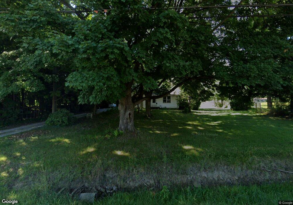
2370 State Route 430 Mansfield, OH 44903
Estimated Value: $207,000 - $301,000
2
Beds
2
Baths
1,849
Sq Ft
$134/Sq Ft
Est. Value
About This Home
This home is located at 2370 State Route 430, Mansfield, OH 44903 and is currently estimated at $248,041, approximately $134 per square foot. 2370 State Route 430 is a home located in Richland County with nearby schools including Madison High School, St. Mary Catholic School, and Temple-Christian School.
Ownership History
Date
Name
Owned For
Owner Type
Purchase Details
Closed on
Apr 5, 2013
Sold by
Baumberger Kent L
Bought by
Baumberger Sheri A
Current Estimated Value
Home Financials for this Owner
Home Financials are based on the most recent Mortgage that was taken out on this home.
Original Mortgage
$74,700
Outstanding Balance
$38,699
Interest Rate
3.52%
Mortgage Type
Future Advance Clause Open End Mortgage
Estimated Equity
$209,342
Purchase Details
Closed on
Mar 1, 1985
Create a Home Valuation Report for This Property
The Home Valuation Report is an in-depth analysis detailing your home's value as well as a comparison with similar homes in the area
Home Values in the Area
Average Home Value in this Area
Purchase History
| Date | Buyer | Sale Price | Title Company |
|---|---|---|---|
| Baumberger Sheri A | $83,000 | Chicago Title | |
| -- | $32,500 | -- |
Source: Public Records
Mortgage History
| Date | Status | Borrower | Loan Amount |
|---|---|---|---|
| Open | Baumberger Sheri A | $74,700 |
Source: Public Records
Tax History Compared to Growth
Tax History
| Year | Tax Paid | Tax Assessment Tax Assessment Total Assessment is a certain percentage of the fair market value that is determined by local assessors to be the total taxable value of land and additions on the property. | Land | Improvement |
|---|---|---|---|---|
| 2024 | $2,847 | $53,500 | $14,570 | $38,930 |
| 2023 | $2,711 | $53,500 | $14,570 | $38,930 |
| 2022 | $2,026 | $36,800 | $11,680 | $25,120 |
| 2021 | $2,025 | $36,800 | $11,680 | $25,120 |
| 2020 | $2,041 | $36,800 | $11,680 | $25,120 |
| 2019 | $1,853 | $31,190 | $9,810 | $21,380 |
| 2018 | $1,838 | $31,190 | $9,810 | $21,380 |
| 2017 | $1,804 | $31,190 | $9,810 | $21,380 |
| 2016 | $1,799 | $30,390 | $9,320 | $21,070 |
| 2015 | $1,799 | $30,390 | $9,320 | $21,070 |
| 2014 | $1,764 | $30,390 | $9,320 | $21,070 |
| 2012 | $1,701 | $31,990 | $9,810 | $22,180 |
Source: Public Records
Map
Nearby Homes
- 598 Impala Dr
- 630 Impala Dr
- 0 Satinwood Dr
- 2641 State Route 430
- 0 McBride Road Parcel # 1 Unit 9066028
- 609 Mcbride Rd
- 2750 Lutz Ave
- 640 Running Brook Way
- 0 Peterson Rd
- 2495 Emma Ln
- 2270 Lakecrest Dr Unit 2272
- 641 Laver Rd
- 775 Touby Ln
- 76 Ford Rd N
- 76 Ford Rd N Unit 20
- 0 Mcelroy Rd
- 1910 Crider Rd
- 304 Esley Ln
- 1997 Hout Rd
- 1495 Timber Rd
- 2350 State Route 430
- 2394 State Route 430
- 2334 State Route 430
- 2383 State Route 430
- 460 Reed Rd
- 2409 State Route 430
- 466 Reed Rd
- 466 Reed Rd
- 448 Impala Dr
- 400 Pinewood Cir
- 419 Pinewood Cir
- 2200 Park Ave E
- 421 Reed Rd
- 435 Impala Dr
- 0 Park Dr
- 410 Pinewood Cir
- 441 Impala Dr Unit 447
- 429 Pinewood Cir
- 476 Impala Dr
- 460 Pinewood Cir