Estimated Value: $1,075,000 - $1,974,000
6
Beds
1
Bath
3,232
Sq Ft
$466/Sq Ft
Est. Value
About This Home
This home is located at 23702 S Central Point Rd, Canby, OR 97013 and is currently estimated at $1,507,013, approximately $466 per square foot. 23702 S Central Point Rd is a home located in Clackamas County with nearby schools including Josefa L. Sambrano Elementary School, Cecile Trost Elementary School, and Carus School.
Ownership History
Date
Name
Owned For
Owner Type
Purchase Details
Closed on
Aug 17, 2020
Sold by
Oldenkamp Mark G and Oldenkamp Laura Hill
Bought by
Oldenkamp Mark G and Oldenkamp Laura Hill
Current Estimated Value
Purchase Details
Closed on
Dec 4, 2001
Sold by
Valley Fresh Foods Inc
Bought by
Oldenkamp Mark G and Oldenkamp Laura Hill
Home Financials for this Owner
Home Financials are based on the most recent Mortgage that was taken out on this home.
Original Mortgage
$252,000
Outstanding Balance
$94,132
Interest Rate
6.12%
Estimated Equity
$1,412,881
Create a Home Valuation Report for This Property
The Home Valuation Report is an in-depth analysis detailing your home's value as well as a comparison with similar homes in the area
Home Values in the Area
Average Home Value in this Area
Purchase History
| Date | Buyer | Sale Price | Title Company |
|---|---|---|---|
| Oldenkamp Mark G | -- | None Available | |
| Oldenkamp Mark G | $315,000 | Chicago Title Insurance Co |
Source: Public Records
Mortgage History
| Date | Status | Borrower | Loan Amount |
|---|---|---|---|
| Open | Oldenkamp Mark G | $252,000 |
Source: Public Records
Tax History Compared to Growth
Tax History
| Year | Tax Paid | Tax Assessment Tax Assessment Total Assessment is a certain percentage of the fair market value that is determined by local assessors to be the total taxable value of land and additions on the property. | Land | Improvement |
|---|---|---|---|---|
| 2025 | $7,893 | $554,393 | -- | -- |
| 2024 | $7,776 | $544,945 | -- | -- |
| 2023 | $7,776 | $537,664 | $0 | $0 |
| 2022 | $7,154 | $516,296 | $0 | $0 |
| 2021 | $6,081 | $441,912 | $0 | $0 |
| 2020 | $5,663 | $405,701 | $0 | $0 |
| 2019 | $11,684 | $871,042 | $0 | $0 |
| 2018 | $10,596 | $782,061 | $0 | $0 |
| 2017 | $9,374 | $687,049 | $0 | $0 |
| 2016 | $8,672 | $632,700 | $0 | $0 |
| 2015 | $8,038 | $590,362 | $0 | $0 |
| 2014 | $7,627 | $560,328 | $0 | $0 |
Source: Public Records
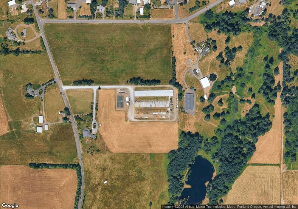
Map
Nearby Homes
- 11800 S Carus Rd
- 11700 S Makin Ln
- 12720 S Carus Rd
- 24843 S Blundell Rd
- 22396 S Parrot Creek Rd
- 13392 S Carus Rd
- 399 S Sequoia Pkwy
- 12950 S New Era Rd
- 1072 S Walnut St
- 10038 S New Era Rd Unit 78
- 2211 SE 12th Ave
- 2180 SE 11th Place
- 1053 S Vine St
- 24450 S Highway 213
- 2125 NE Spitz Rd
- 2123 NE Spitz Rd
- 12192 S Mulino Rd
- 1620 N Sweetgum St
- 1947 NE 21st Ave
- 1558 NE 10th Place
- 23679 S Central Point Rd
- 23460 S Ward Ct
- 11631 S Carus Rd
- 23461 S Ward Ct
- 23486 S Central Point Rd
- 23567 S Central Point Rd
- 11701 S Carus Rd
- 23479 S Central Point Rd
- 23400 S Ward Ct
- 23950 S Central Point Rd
- 23887 S Central Point Rd
- 11671 S Carus Rd
- 23421 S Ward Ct
- 11996 S Casto Rd
- 23400 S Central Point Rd
- 11775 S Township Rd
- 23350 S Ward Ct
- 23365 S Ward Ct
- 12002 S Casto Rd
- 11919 S Carus Rd