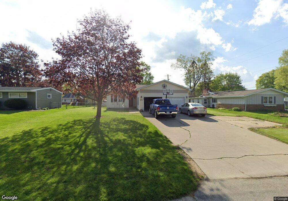
2372 Kenwood Dr Adrian, MI 49221
Estimated Value: $200,000 - $221,064
3
Beds
1
Bath
1,316
Sq Ft
$160/Sq Ft
Est. Value
About This Home
This home is located at 2372 Kenwood Dr, Adrian, MI 49221 and is currently estimated at $210,355, approximately $159 per square foot. 2372 Kenwood Dr is a home located in Lenawee County with nearby schools including Adrian High School, Berean Baptist Academy, and St. Stephen Lutheran School.
Ownership History
Date
Name
Owned For
Owner Type
Purchase Details
Closed on
Mar 16, 2007
Sold by
Carr Steven M and Carr Jan L
Bought by
Hall Joshua A and Hall Heather L
Current Estimated Value
Home Financials for this Owner
Home Financials are based on the most recent Mortgage that was taken out on this home.
Original Mortgage
$139,300
Outstanding Balance
$84,547
Interest Rate
6.31%
Mortgage Type
New Conventional
Estimated Equity
$125,808
Purchase Details
Closed on
Jan 11, 2007
Sold by
Carr Jan L and Carr Steven M
Bought by
Deutsche Bank National Trust Co
Create a Home Valuation Report for This Property
The Home Valuation Report is an in-depth analysis detailing your home's value as well as a comparison with similar homes in the area
Home Values in the Area
Average Home Value in this Area
Purchase History
| Date | Buyer | Sale Price | Title Company |
|---|---|---|---|
| Hall Joshua A | $140,000 | Prestige Title Insurance Age | |
| Deutsche Bank National Trust Co | $186,120 | None Available |
Source: Public Records
Mortgage History
| Date | Status | Borrower | Loan Amount |
|---|---|---|---|
| Open | Hall Joshua A | $139,300 |
Source: Public Records
Tax History Compared to Growth
Tax History
| Year | Tax Paid | Tax Assessment Tax Assessment Total Assessment is a certain percentage of the fair market value that is determined by local assessors to be the total taxable value of land and additions on the property. | Land | Improvement |
|---|---|---|---|---|
| 2025 | $2,049 | $104,200 | $0 | $0 |
| 2024 | $1,184 | $94,500 | $0 | $0 |
| 2022 | $1,072 | $76,800 | $0 | $0 |
| 2021 | $1,865 | $68,600 | $0 | $0 |
| 2020 | $1,863 | $71,400 | $0 | $0 |
| 2019 | $161,302 | $59,900 | $0 | $0 |
| 2018 | $1,807 | $59,926 | $0 | $0 |
| 2017 | $1,743 | $59,975 | $0 | $0 |
| 2016 | $1,971 | $57,021 | $0 | $0 |
| 2014 | -- | $53,115 | $0 | $0 |
Source: Public Records
Map
Nearby Homes
- 2008 Green Acres Dr
- 2010 Green Acres Dr
- 2012 Green Acres Dr
- 2015 Green Acres Dr
- 2018 Green Acres Dr
- 2029 Green Acres Dr
- 2023 Green Acres Dr
- 2027 Green Acres Dr
- 2682 Elmwood Dr
- 1692 Rivers Edge Ct
- 301 Ohio River Dr Unit LOT 52
- 1639 Rivers Edge Ct
- 1227 Sherman St
- 302 Lakewood Dr
- 802 Lakewood Dr
- 1902 W Cadmus Rd
- 1035 Scottdale Dr
- 3520 Crestone Way
- 421 S Madison St
- 1136 Michigan Ave
- 2364 Kenwood Dr
- 2384 Kenwood Dr
- 2388 Kenwood Dr
- 2392 Kenwood Dr
- 2377 Kenwood Dr
- 2367 Kenwood Dr
- 2385 Kenwood Dr
- 2389 Kenwood Dr
- 2406 Kenwood Dr
- 2405 Kenwood Dr
- 2357 Sunset Ln
- 2263 Shannon Dr
- 2247 Laurel Ave
- 2242 Laurel Ave
- 2244 Laurel Ave
- 2251 Shannon Dr
- 2260 Shannon Dr
- 2243 Shannon Dr
- 2243 Shannon Dr Unit SHANNON
- 2259 Fairview Dr