2372 Mockingbird Ln Bellingham, WA 98226
Estimated Value: $985,000 - $1,217,000
3
Beds
3
Baths
2,979
Sq Ft
$374/Sq Ft
Est. Value
About This Home
This home is located at 2372 Mockingbird Ln, Bellingham, WA 98226 and is currently estimated at $1,114,943, approximately $374 per square foot. 2372 Mockingbird Ln is a home located in Whatcom County with nearby schools including Mount Baker Senior High School.
Ownership History
Date
Name
Owned For
Owner Type
Purchase Details
Closed on
Apr 13, 2011
Sold by
Mossey Samuel T
Bought by
Renick Pauline R and Howell Jana S
Current Estimated Value
Home Financials for this Owner
Home Financials are based on the most recent Mortgage that was taken out on this home.
Original Mortgage
$150,000
Outstanding Balance
$7,714
Interest Rate
4.1%
Mortgage Type
New Conventional
Estimated Equity
$1,107,229
Purchase Details
Closed on
Dec 4, 2007
Sold by
Haugen Melvin M and Doreen Haugen F
Bought by
Mossey Samuel T
Create a Home Valuation Report for This Property
The Home Valuation Report is an in-depth analysis detailing your home's value as well as a comparison with similar homes in the area
Home Values in the Area
Average Home Value in this Area
Purchase History
| Date | Buyer | Sale Price | Title Company |
|---|---|---|---|
| Renick Pauline R | $480,280 | Chicago Title Insurance | |
| Mossey Samuel T | $163,280 | First American Title Insuran |
Source: Public Records
Mortgage History
| Date | Status | Borrower | Loan Amount |
|---|---|---|---|
| Open | Renick Pauline R | $150,000 |
Source: Public Records
Tax History Compared to Growth
Tax History
| Year | Tax Paid | Tax Assessment Tax Assessment Total Assessment is a certain percentage of the fair market value that is determined by local assessors to be the total taxable value of land and additions on the property. | Land | Improvement |
|---|---|---|---|---|
| 2024 | $7,676 | $993,669 | $249,649 | $744,020 |
| 2023 | $7,676 | $1,059,133 | $336,240 | $722,893 |
| 2022 | $6,363 | $868,121 | $275,600 | $592,521 |
| 2021 | $5,987 | $700,091 | $222,256 | $477,835 |
| 2020 | $5,570 | $593,296 | $188,352 | $404,944 |
| 2019 | $4,967 | $522,737 | $165,952 | $356,785 |
| 2018 | $5,901 | $503,989 | $160,000 | $343,989 |
| 2017 | $5,355 | $467,809 | $138,240 | $329,569 |
| 2016 | $5,194 | $451,565 | $133,440 | $318,125 |
| 2015 | $5,049 | $431,261 | $127,440 | $303,821 |
| 2014 | -- | $406,084 | $120,000 | $286,084 |
| 2013 | -- | $406,084 | $120,000 | $286,084 |
Source: Public Records
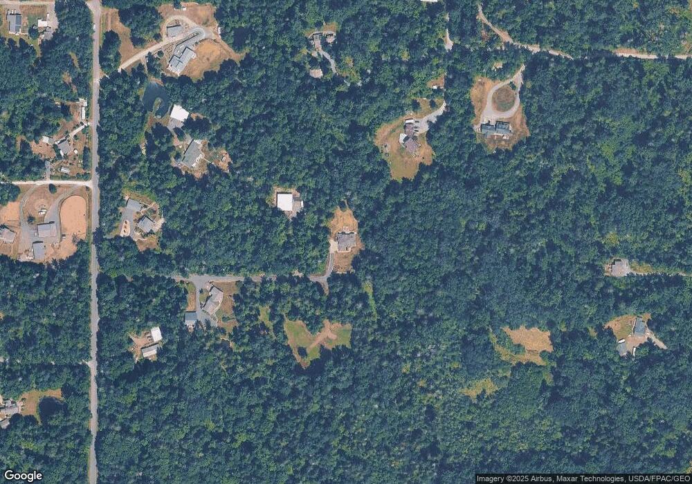
Map
Nearby Homes
- 2200 E Smith Rd
- 2571 E Smith Rd
- 2802 Mount Baker Hwy
- 5196 Sand Rd
- 0 xxxx Kelly Rd
- 3025 E Smith Rd
- 3100 Mt Baker Hwy
- 5544 Sand Rd
- 5818 Everson Goshen Rd
- 5539 Noon Rd
- 4204 Squalicum Lake Rd
- 4455 E 18th Crest
- 1758 Emerald Lake Way
- 6068 E Hemmi Ln
- 1 XXX Sleepy Hollow Ln
- 5180 Penny Ln
- 1321 E Smith Rd
- 4220 Brays Way
- 1668 Sapphire Trail
- 2529 E Hemmi Rd