2374 W Anderson Rd Linwood, MI 48634
Estimated Value: $266,000 - $403,097
--
Bed
1
Bath
--
Sq Ft
80
Acres
About This Home
This home is located at 2374 W Anderson Rd, Linwood, MI 48634 and is currently estimated at $333,032. 2374 W Anderson Rd is a home located in Bay County with nearby schools including Linwood Elementary School, Pinconning Central Elementary School, and Pinconning Middle School.
Ownership History
Date
Name
Owned For
Owner Type
Purchase Details
Closed on
Feb 12, 2021
Sold by
Plant Ernest M
Bought by
Plant Ernest M
Current Estimated Value
Purchase Details
Closed on
Sep 25, 2000
Sold by
Wazny Carol
Bought by
Wazny Christopher
Create a Home Valuation Report for This Property
The Home Valuation Report is an in-depth analysis detailing your home's value as well as a comparison with similar homes in the area
Home Values in the Area
Average Home Value in this Area
Purchase History
| Date | Buyer | Sale Price | Title Company |
|---|---|---|---|
| Plant Ernest M | -- | None Listed On Document | |
| Wazny Christopher | -- | -- |
Source: Public Records
Tax History Compared to Growth
Tax History
| Year | Tax Paid | Tax Assessment Tax Assessment Total Assessment is a certain percentage of the fair market value that is determined by local assessors to be the total taxable value of land and additions on the property. | Land | Improvement |
|---|---|---|---|---|
| 2025 | $2,053 | $178,400 | $0 | $0 |
| 2024 | $1,936 | $178,800 | $0 | $0 |
| 2023 | $563 | $198,750 | $0 | $0 |
| 2022 | $1,780 | $103,150 | $0 | $0 |
| 2021 | $1,577 | $96,100 | $96,100 | $0 |
| 2020 | $1,551 | $110,100 | $110,100 | $0 |
| 2019 | $1,483 | $111,300 | $0 | $0 |
| 2018 | $1,416 | $94,850 | $0 | $0 |
| 2017 | $1,380 | $88,450 | $0 | $0 |
| 2016 | $1,382 | $93,200 | $0 | $93,200 |
| 2015 | -- | $113,600 | $0 | $113,600 |
| 2014 | -- | $113,700 | $0 | $113,700 |
Source: Public Records
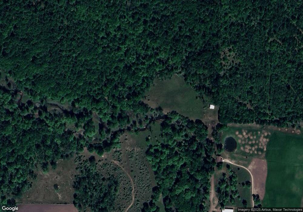
Map
Nearby Homes
- 2730 W Anderson Rd
- 2863 Erickson Rd
- 0 S 11 Mile Rd
- V/L E Levely Rd
- 3722 E Shearer Rd
- Parcel D N Jefferson Rd
- Lot B N Waldo
- Lot A N Waldo
- 4949 S Garfield Rd
- 2515 S 11 Mile Rd
- 1255 S Nine Mile Rd
- 2192 S Garfield Rd
- 3831 N Jefferson Rd
- Vacant Land N Garfield Rd
- Vacant Land N Garfield Rd Unit V/L Parcel B Garfiel
- 2041 S Carter Rd
- 1560 N 8 Mile Rd
- 2615 N Waldo Rd
- 2966 E Degeer Ct
- 2858 N Cedaridge Dr
- 2374 W Anderson Rd
- 2363 W Anderson Rd
- 488 N Flajole Rd
- 2333 W Anderson Rd
- 2323 W Anderson Rd
- 456 N Flajole Rd
- 2295 W Anderson Rd
- 2499 W Anderson Rd
- 2291 W Anderson Rd
- 2287 W Anderson Rd
- 420 N Flajole Rd
- 2217 W Anderson Rd
- 348 N Flajole Rd
- 2723 W Anderson Rd
- 626 N Roger Rd
- 626 N Roger Rd
- 2071 W Anderson Rd
- 2038 W Anderson Rd
- 542 N Roger Rd
- 2768 W Anderson Rd