2375 M Path Cotopaxi, CO 81223
Estimated Value: $85,000
Studio
--
Bath
--
Sq Ft
2.5
Acres
About This Home
This home is located at 2375 M Path, Cotopaxi, CO 81223 and is currently estimated at $85,000. 2375 M Path is a home located in Fremont County with nearby schools including Cotopaxi Elementary School and Cotopaxi Junior/Senior High School.
Ownership History
Date
Name
Owned For
Owner Type
Purchase Details
Closed on
Oct 30, 2013
Sold by
Sep Gary L Bradley
Bought by
Ramrod Inc
Current Estimated Value
Purchase Details
Closed on
May 20, 2008
Sold by
Baker Richard C and Baker Hattie A
Bought by
Sep Gary L Bradley and Sep Ira
Purchase Details
Closed on
Aug 1, 2007
Sold by
Little Bear Llc
Bought by
Baker Richard C and Baker Hattie A
Home Financials for this Owner
Home Financials are based on the most recent Mortgage that was taken out on this home.
Original Mortgage
$123
Interest Rate
6.72%
Mortgage Type
Purchase Money Mortgage
Purchase Details
Closed on
Nov 27, 2006
Sold by
Stiegler Bernhardt Rudolph
Bought by
Little Bear Llc
Create a Home Valuation Report for This Property
The Home Valuation Report is an in-depth analysis detailing your home's value as well as a comparison with similar homes in the area
Purchase History
| Date | Buyer | Sale Price | Title Company |
|---|---|---|---|
| Ramrod Inc | -- | None Available | |
| Sep Gary L Bradley | -- | None Available | |
| Baker Richard C | $12,500 | None Available | |
| Little Bear Llc | $3,800 | Security Title |
Source: Public Records
Mortgage History
| Date | Status | Borrower | Loan Amount |
|---|---|---|---|
| Previous Owner | Baker Richard C | $123 |
Source: Public Records
Tax History
| Year | Tax Paid | Tax Assessment Tax Assessment Total Assessment is a certain percentage of the fair market value that is determined by local assessors to be the total taxable value of land and additions on the property. | Land | Improvement |
|---|---|---|---|---|
| 2024 | $296 | $6,441 | $6,441 | $0 |
| 2023 | $230 | $4,746 | $4,746 | $0 |
| 2022 | $124 | $2,678 | $2,678 | $0 |
| 2021 | $122 | $2,678 | $2,678 | $0 |
| 2020 | $119 | $2,678 | $2,678 | $0 |
| 2019 | $119 | $2,678 | $2,678 | $0 |
| 2018 | $107 | $2,396 | $0 | $0 |
| 2017 | $107 | $2,396 | $0 | $0 |
| 2016 | $62 | $1,390 | $0 | $0 |
| 2015 | $62 | $1,390 | $0 | $0 |
| 2012 | $72 | $1,740 | $1,740 | $0 |
Source: Public Records
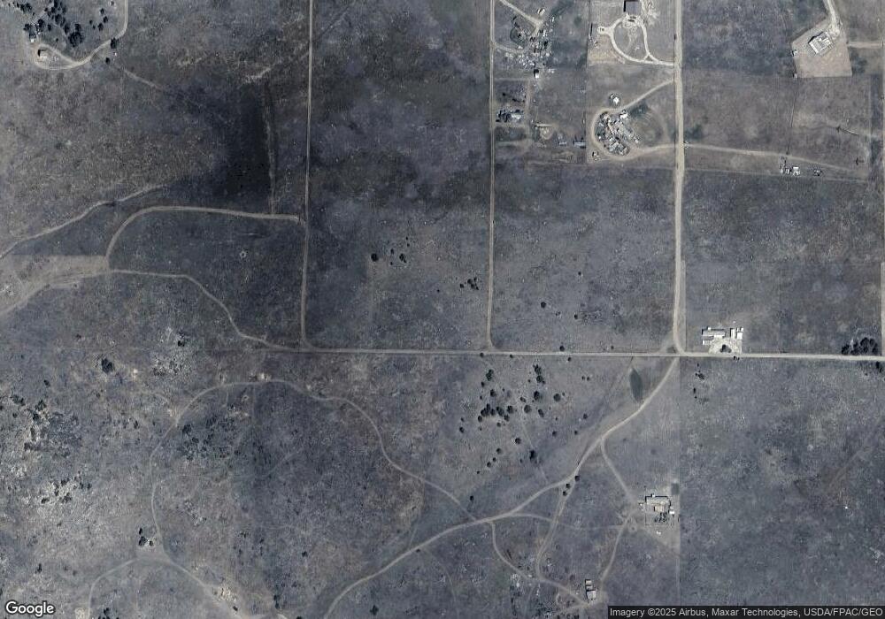
Map
Nearby Homes
- 2176 L Path
- 2576 L Path
- 0 21st Trail Unit REC1871091
- TBD 24th Trail
- 177 County Road 27a
- xx 22nd Trail
- TBD 25th Trail
- 000 K Path
- 2125 J Path
- 739 17th Trail
- 2825 K Path
- 1971 County Road 27a
- TBD County Road 27a
- TBD 32nd Trail
- 1739 17th Trail
- TBD 21st Trail
- 2926 East Path
- TBD 27th Trail
- 0 27th Trail
- TBD 33rd Trail