Estimated Value: $851,000 - $1,137,000
4
Beds
3
Baths
3,376
Sq Ft
$295/Sq Ft
Est. Value
About This Home
This home is located at 2375 N Baker Dr, Canby, OR 97013 and is currently estimated at $995,284, approximately $294 per square foot. 2375 N Baker Dr is a home located in Clackamas County with nearby schools including Howard Eccles Elementary School, Baker Prairie Middle School, and Canby High School.
Ownership History
Date
Name
Owned For
Owner Type
Purchase Details
Closed on
Jan 9, 2023
Sold by
Dinteman Bryan J and Dinteman Ingrid R
Bought by
Bryan J Dinteman And Ingrid R Dinteman Revoca
Current Estimated Value
Purchase Details
Closed on
Jul 12, 1995
Sold by
Dinteman Bryan J
Bought by
Dinteman Bryan J and Dinteman Ingrid R
Home Financials for this Owner
Home Financials are based on the most recent Mortgage that was taken out on this home.
Original Mortgage
$203,150
Interest Rate
7.59%
Mortgage Type
Construction
Create a Home Valuation Report for This Property
The Home Valuation Report is an in-depth analysis detailing your home's value as well as a comparison with similar homes in the area
Home Values in the Area
Average Home Value in this Area
Purchase History
| Date | Buyer | Sale Price | Title Company |
|---|---|---|---|
| Bryan J Dinteman And Ingrid R Dinteman Revoca | -- | -- | |
| Dinteman Bryan J | -- | Stewart Title |
Source: Public Records
Mortgage History
| Date | Status | Borrower | Loan Amount |
|---|---|---|---|
| Previous Owner | Dinteman Bryan J | $203,150 |
Source: Public Records
Tax History Compared to Growth
Tax History
| Year | Tax Paid | Tax Assessment Tax Assessment Total Assessment is a certain percentage of the fair market value that is determined by local assessors to be the total taxable value of land and additions on the property. | Land | Improvement |
|---|---|---|---|---|
| 2025 | $8,264 | $577,456 | -- | -- |
| 2024 | $8,034 | $560,638 | -- | -- |
| 2023 | $8,034 | $544,310 | $0 | $0 |
| 2022 | $7,346 | $528,456 | $0 | $0 |
| 2021 | $7,060 | $513,063 | $0 | $0 |
| 2020 | $6,953 | $498,119 | $0 | $0 |
| 2019 | $6,590 | $483,612 | $0 | $0 |
| 2018 | $6,454 | $469,529 | $0 | $0 |
| 2017 | $6,296 | $455,852 | $0 | $0 |
| 2016 | $6,080 | $442,575 | $0 | $0 |
| 2015 | $5,847 | $429,684 | $0 | $0 |
| 2014 | $5,575 | $417,169 | $0 | $0 |
Source: Public Records
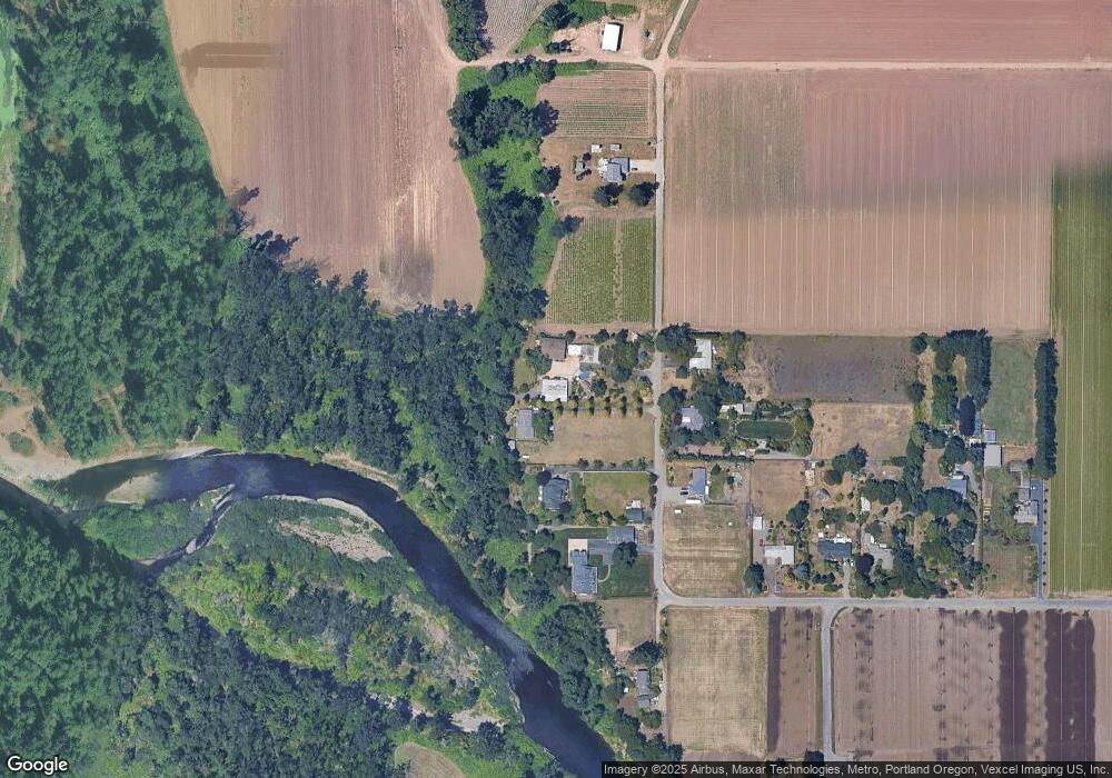
Map
Nearby Homes
- 1151 NW 22nd Ave
- 1199 NW 22nd Ave
- 1165 NW 22nd Ave
- 1614 NW 16th Ave
- 1721 N Hyssop St
- 960 N Aspen Ct
- 2152 N Laurelwood St
- 0 NW 10th Ave
- 1751 N Laurelwood Loop
- 187 NE 14th Ave
- 312 NE 14th Ave
- 660 NE 20th Ave
- 184 NE 10th Ave
- 6869 S Knights Bridge Rd
- 318 NE 9th Ave
- 832 NE 17th Ave
- 838 NE 17th Ave
- 844 NE 17th Ave
- 580 N Grant St
- 853 NE 17th Ave
- 2323 N Baker Dr
- 2225 N Baker Dr
- 2330 N Baker Dr
- 2290 N Baker Dr
- 2475 N Baker Dr
- 2221 N Baker Dr
- 2214 N Baker Dr
- 1000 NW 22nd Ave
- 980 NW 22nd Ave
- 2201 N Baker Dr
- 970 NW 22nd Ave
- 934 NW 22nd Ave
- 874 NW 22nd Ave
- 995 NW 22nd Ave
- 769 NW 22nd Ave
- 2525 N Baker Dr
- 716 NW 22nd Ave
- 1965 N Birch St
- 614 NW 22nd Ave
- 627 NW 22nd Ave