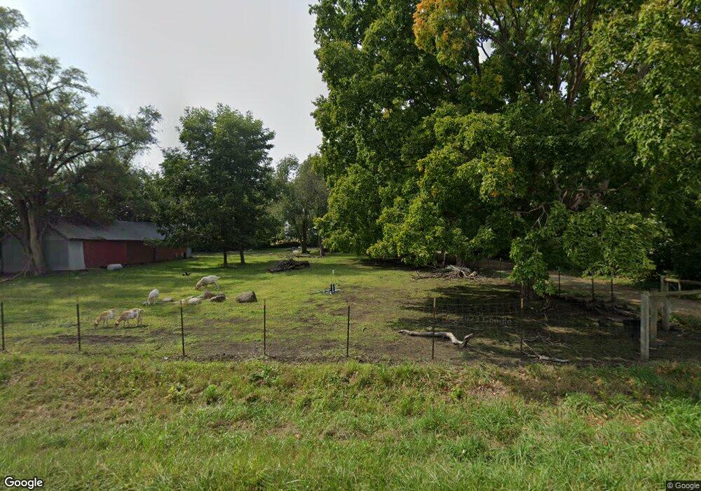
2377 N State Route 351 Oglesby, IL 61348
Estimated Value: $243,000 - $356,000
--
Bed
2
Baths
2,161
Sq Ft
$130/Sq Ft
Est. Value
About This Home
This home is located at 2377 N State Route 351, Oglesby, IL 61348 and is currently estimated at $280,687, approximately $129 per square foot. 2377 N State Route 351 is a home located in LaSalle County with nearby schools including Lincoln Elementary School, Washington Elementary School, and Holy Family Elementary School.
Ownership History
Date
Name
Owned For
Owner Type
Purchase Details
Closed on
Sep 24, 2021
Sold by
Childers Samuel J and Childers Corissa K
Bought by
Childers Samuel J
Current Estimated Value
Purchase Details
Closed on
Nov 14, 2014
Sold by
Doyle Susan L
Bought by
Childers Samuel J and Childers Corissa K
Home Financials for this Owner
Home Financials are based on the most recent Mortgage that was taken out on this home.
Original Mortgage
$99,750
Interest Rate
4.13%
Mortgage Type
New Conventional
Create a Home Valuation Report for This Property
The Home Valuation Report is an in-depth analysis detailing your home's value as well as a comparison with similar homes in the area
Home Values in the Area
Average Home Value in this Area
Purchase History
| Date | Buyer | Sale Price | Title Company |
|---|---|---|---|
| Childers Samuel J | -- | None Available | |
| Childers Samuel J | $105,000 | -- |
Source: Public Records
Mortgage History
| Date | Status | Borrower | Loan Amount |
|---|---|---|---|
| Previous Owner | Childers Samuel J | $99,750 |
Source: Public Records
Tax History Compared to Growth
Tax History
| Year | Tax Paid | Tax Assessment Tax Assessment Total Assessment is a certain percentage of the fair market value that is determined by local assessors to be the total taxable value of land and additions on the property. | Land | Improvement |
|---|---|---|---|---|
| 2024 | $4,417 | $64,407 | $16,127 | $48,280 |
| 2023 | $3,899 | $56,448 | $14,134 | $42,314 |
| 2022 | $3,498 | $51,344 | $12,856 | $38,488 |
| 2021 | $3,266 | $46,744 | $11,704 | $35,040 |
| 2020 | $3,168 | $46,744 | $11,704 | $35,040 |
| 2019 | $3,353 | $46,744 | $11,704 | $35,040 |
| 2018 | $3,290 | $46,309 | $11,595 | $34,714 |
| 2017 | $3,005 | $42,571 | $10,659 | $31,912 |
| 2016 | $3,019 | $42,137 | $10,550 | $31,587 |
| 2015 | $2,754 | $40,906 | $10,242 | $30,664 |
| 2012 | -- | $51,472 | $10,983 | $40,489 |
Source: Public Records
Map
Nearby Homes
- 212 S Columbia Ave
- 0 Deerfield Estates Lot 78 Rd
- 600 W Walnut St
- 100 N Lewis Ave
- 590 W Walnut St
- Lot 7 Sunset Blvd
- Lot 10 Sunset Blvd
- Lot 56 Sunset Blvd
- 94 Sunset Blvd
- 231 Sunset Blvd
- 0006 Sunset Blvd
- 0005 Sunset Blvd
- Lot 1 Watson Ave
- 429 E 1st St
- 424 E 1st St
- 71 Katelyn Ct
- 93 Sunset Blvd
- 423 Sunset Blvd
- 0 Deerfield Estates Lot 79 Rd Unit 202503543
- 0 Deerfield Estates Lot 79 Rd Unit MRD12404452
- 2377 Illinois 351
- 2378 N State Route 351
- 2376 Illinois 351
- 2368 N State Route 351
- 507 Deerfield Estates Rd
- 507 Deerfield Estate
- Lot 65 Deerfield Estates Rd
- Lot 62 Deerfield Estates Rd
- Lot 61 Deerfield Estates Rd
- Lot 72 Deerfield Estates Rd
- Lot 75 Deerfield Estates Rd
- Lot 60 Deerfield Estates Rd
- Lot 64 Deerfield Estates Rd
- Lot 66 Deerfield Estates Rd
- Lot 63 Deerfield Estates Rd
- Lot 70 Deerfield Estates Rd
- Lot 80 Deerfield Estates Rd
- Lot 71 Deerfield Estates Rd
- Lot 69 Deerfield Estates Rd
- Lot 59 Deerfield Estates Rd