Estimated Value: $52,000 - $170,000
--
Bed
--
Bath
--
Sq Ft
0.48
Acres
About This Home
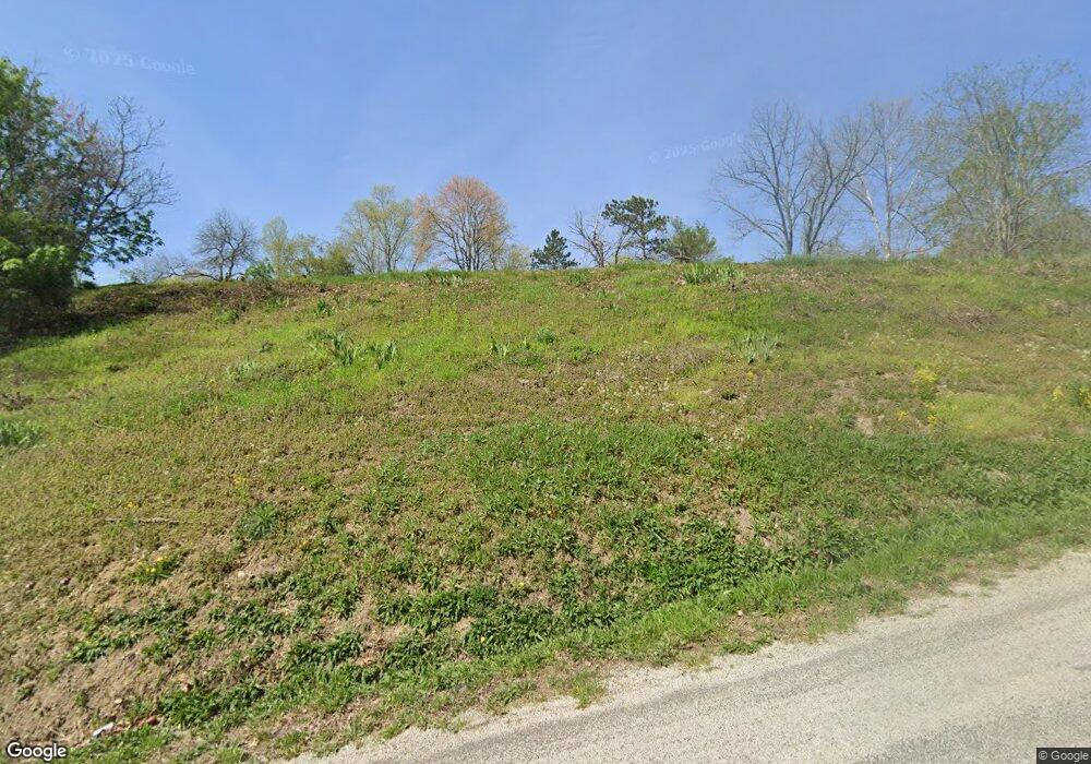
This home is located at 2378 W Poplar Ridge Rd NW, Malta, OH 43758 and is currently estimated at $105,127. 2378 W Poplar Ridge Rd NW is a home located in Morgan County with nearby schools including Morgan High School.
Ownership History
Date
Name
Owned For
Owner Type
Purchase Details
Closed on
Nov 20, 2020
Sold by
Best Theodore P
Bought by
Best Theodore P
Current Estimated Value
Purchase Details
Closed on
Sep 25, 2009
Sold by
Best Dan and Best Danny S
Bought by
Best Theodore P
Purchase Details
Closed on
Jan 13, 2005
Sold by
Woodward John B and Woodward Shirley D
Bought by
Best Dan
Purchase Details
Closed on
Dec 7, 1993
Sold by
Woodward John B and Woodward Shirley D
Bought by
Woodward John B and Woodward Shirley D
Purchase Details
Closed on
Dec 1, 1993
Purchase Details
Closed on
Oct 12, 1993
Sold by
Bankes Ronnie S
Bought by
Woodward John B and Woodward Shirley D
Purchase Details
Closed on
Oct 1, 1993
Create a Home Valuation Report for This Property
The Home Valuation Report is an in-depth analysis detailing your home's value as well as a comparison with similar homes in the area
Home Values in the Area
Average Home Value in this Area
Purchase History
| Date | Buyer | Sale Price | Title Company |
|---|---|---|---|
| Best Theodore P | -- | None Available | |
| Best Theodore P | $85,000 | None Available | |
| Best Dan | -- | -- | |
| Woodward John B | $7,400 | -- | |
| -- | $7,400 | -- | |
| Woodward John B | $7,400 | -- | |
| -- | $7,400 | -- |
Source: Public Records
Tax History Compared to Growth
Tax History
| Year | Tax Paid | Tax Assessment Tax Assessment Total Assessment is a certain percentage of the fair market value that is determined by local assessors to be the total taxable value of land and additions on the property. | Land | Improvement |
|---|---|---|---|---|
| 2024 | $83 | $2,460 | $520 | $1,940 |
| 2023 | $87 | $2,500 | $420 | $2,080 |
| 2022 | $87 | $2,500 | $420 | $2,080 |
| 2021 | $88 | $2,500 | $420 | $2,080 |
| 2020 | $50 | $2,280 | $390 | $1,890 |
| 2019 | $84 | $2,280 | $390 | $1,890 |
| 2018 | $81 | $2,280 | $390 | $1,890 |
| 2017 | $70 | $2,069 | $301 | $1,768 |
| 2016 | $76 | $2,069 | $301 | $1,768 |
| 2015 | $70 | $2,069 | $301 | $1,768 |
| 2014 | $72 | $2,069 | $301 | $1,768 |
| 2013 | $83 | $2,069 | $301 | $1,768 |
Source: Public Records
Map
Nearby Homes
- 95 Sunset Dr
- 0 Echo Hill Rd
- 774 N Kennebec Ave
- 262 N 5th St
- 284 N Kennebec Ave
- 160 S Main St
- 5975 Helaman Ln
- 0 Upper Douda Rd Unit 225030416
- Lot #2 Leisure Dr
- 3630 Leisure Dr NW
- 0 Leisure Dr NW Unit Lot 2
- 0 Leisure Dr NW Unit Lot 4
- 1747 E Airport Rd NE
- 8627 N State Route 376 NW
- 8752 N Rokeby Dr NW
- 690 Ames Rd
- 360 Glass Rd NW
- 0 Morganville Rd Unit 5123894
- 0 Morganville Rd Unit 225017374
- 2680 Mummey Rd
- 4098 N State Route 669 NW
- 2462 W Poplar Ridge Rd NW
- 4143 N State Route 669 NW
- 4093 S R 669
- 4120 N State Route 60 NW
- 4102 N State Route 60 NW
- 4102 Rt 60
- 4170 N State Route 60 NW
- 4100 N State Route 669 NW
- 2461 N Curry Ln NW
- 4112 Ohio 669
- 2477 Curry Ln
- 4112 N State Route 669 NW
- 2471 N Curry Ln NW
- 4115 Ohio 669
- 6475 Ohio 669
- 4115 N State Route 669 NW
- 2457 N Curry Ln NW
- 1275 Front St NW
- 4118 N State Route 669 NW