23781 Maple Ct South Lyon, MI 48178
Estimated Value: $712,921 - $782,000
4
Beds
3
Baths
3,136
Sq Ft
$240/Sq Ft
Est. Value
About This Home
This home is located at 23781 Maple Ct, South Lyon, MI 48178 and is currently estimated at $753,730, approximately $240 per square foot. 23781 Maple Ct is a home located in Oakland County with nearby schools including Salem Elementary School, Centennial Middle School, and South Lyon East High School.
Ownership History
Date
Name
Owned For
Owner Type
Purchase Details
Closed on
Sep 12, 2020
Sold by
Roult John A and Roult Dawn M
Bought by
Roult John and Roult Dawn M
Current Estimated Value
Purchase Details
Closed on
Oct 3, 2013
Sold by
Mirage Development Llc
Bought by
Roult John A and Roult Dawn M
Home Financials for this Owner
Home Financials are based on the most recent Mortgage that was taken out on this home.
Original Mortgage
$285,752
Outstanding Balance
$214,721
Interest Rate
4.5%
Mortgage Type
New Conventional
Estimated Equity
$539,009
Purchase Details
Closed on
Oct 1, 2012
Sold by
Copperwood Rd Llc
Bought by
Mirage Development Llc
Create a Home Valuation Report for This Property
The Home Valuation Report is an in-depth analysis detailing your home's value as well as a comparison with similar homes in the area
Home Values in the Area
Average Home Value in this Area
Purchase History
| Date | Buyer | Sale Price | Title Company |
|---|---|---|---|
| Roult John | -- | None Available | |
| Roult John A | $357,190 | Greco Title Agency Llc | |
| Mirage Development Llc | -- | None Available |
Source: Public Records
Mortgage History
| Date | Status | Borrower | Loan Amount |
|---|---|---|---|
| Open | Roult John A | $285,752 |
Source: Public Records
Tax History Compared to Growth
Tax History
| Year | Tax Paid | Tax Assessment Tax Assessment Total Assessment is a certain percentage of the fair market value that is determined by local assessors to be the total taxable value of land and additions on the property. | Land | Improvement |
|---|---|---|---|---|
| 2024 | $4,782 | $266,570 | $0 | $0 |
| 2023 | $4,561 | $240,560 | $0 | $0 |
| 2022 | $6,238 | $222,480 | $0 | $0 |
| 2021 | $5,698 | $220,920 | $0 | $0 |
| 2020 | $4,194 | $221,470 | $0 | $0 |
| 2019 | $5,699 | $218,490 | $0 | $0 |
| 2018 | $5,644 | $210,830 | $0 | $0 |
| 2017 | $5,733 | $202,220 | $0 | $0 |
| 2016 | $5,754 | $193,230 | $0 | $0 |
| 2015 | -- | $182,520 | $0 | $0 |
| 2014 | -- | $172,650 | $0 | $0 |
| 2011 | -- | $28,000 | $0 | $0 |
Source: Public Records
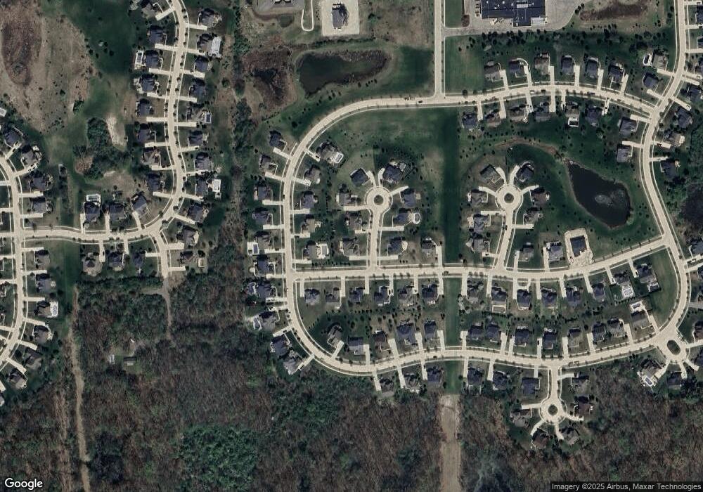
Map
Nearby Homes
- 24400 Johns Rd
- 52909 10 Mile Rd
- 53970 10 Mile Rd
- 24530 Pinnacle Cir Unit 25
- 50623 Chesapeake Dr Unit 169
- 00 Johns Rd
- 49588 Villa Dr
- 24600 Johns Rd
- 21255 Chubb Rd
- 49646 Villa Dr
- 21140 Chubb Rd
- 21008 Torbay Dr
- 25782 Island Lake Dr Unit 43
- 25844 Island Lake Dr Unit 35
- 49351 Villa Ct
- 24825 Reeds Pointe Dr Unit 27
- 26236 Louisiana Ave Unit 143
- 51224 Luke Ln
- 49944 Blackberry Trail Unit 55
- 1412 Nardeer St
- 23815 Maple Ct Unit 60
- 23762 Copperwood Dr W
- 23794 Copperwood Dr W
- 52277 Red Cedar Ct
- 23849 Maple Ct
- 23830 Copperwood Dr W
- 52237 Red Cedar
- 52237 Red Cedar Unit Bldg-Unit
- 23791 Copperwood Dr W
- 23862 Copperwood Dr W
- 52172 Red Cedar Unit Bldg-Unit
- 52172 Red Cedar
- 52314 Copperwood Dr S
- 23874 Maple Ct
- 23894 Copperwood Dr W
- 23865 Copperwood Dr
- 52202 Copperwood Dr S
- 23691 Copperwood Dr W
- 23899 Copperwood Dr W
- 23647 Copperwood Dr W