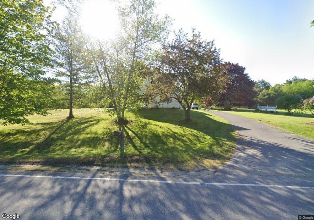
238 Annabessacook Rd Winthrop, ME 04364
Estimated Value: $384,000 - $552,000
3
Beds
2
Baths
1,982
Sq Ft
$217/Sq Ft
Est. Value
About This Home
This home is located at 238 Annabessacook Rd, Winthrop, ME 04364 and is currently estimated at $429,368, approximately $216 per square foot. 238 Annabessacook Rd is a home located in Kennebec County with nearby schools including Winthrop Grade School, Winthrop Middle School, and Winthrop High School.
Ownership History
Date
Name
Owned For
Owner Type
Purchase Details
Closed on
Aug 14, 2015
Sold by
Rheaume Patricia A
Bought by
Rheaume Patricia A and Robertson Charles M
Current Estimated Value
Home Financials for this Owner
Home Financials are based on the most recent Mortgage that was taken out on this home.
Original Mortgage
$65,500
Interest Rate
4.08%
Mortgage Type
New Conventional
Purchase Details
Closed on
Jan 10, 2005
Sold by
Rheaume Clara M
Bought by
Rheaume Patricia A and Rheume Clara M
Create a Home Valuation Report for This Property
The Home Valuation Report is an in-depth analysis detailing your home's value as well as a comparison with similar homes in the area
Home Values in the Area
Average Home Value in this Area
Purchase History
| Date | Buyer | Sale Price | Title Company |
|---|---|---|---|
| Rheaume Patricia A | -- | -- | |
| Rheaume Patricia A | -- | -- |
Source: Public Records
Mortgage History
| Date | Status | Borrower | Loan Amount |
|---|---|---|---|
| Closed | Rheaume Patricia A | $65,500 |
Source: Public Records
Tax History Compared to Growth
Tax History
| Year | Tax Paid | Tax Assessment Tax Assessment Total Assessment is a certain percentage of the fair market value that is determined by local assessors to be the total taxable value of land and additions on the property. | Land | Improvement |
|---|---|---|---|---|
| 2024 | $4,895 | $211,900 | $89,800 | $122,100 |
| 2022 | $4,613 | $211,900 | $89,800 | $122,100 |
| 2021 | $4,355 | $211,900 | $89,800 | $122,100 |
| 2020 | $4,376 | $211,900 | $89,800 | $122,100 |
| 2019 | $873 | $211,900 | $89,800 | $122,100 |
| 2018 | $3,880 | $211,900 | $89,800 | $122,100 |
| 2017 | $1,785 | $211,900 | $89,800 | $122,100 |
| 2016 | $1,996 | $211,900 | $89,800 | $122,100 |
| 2015 | $3,238 | $211,900 | $89,800 | $122,100 |
| 2014 | $4,061 | $265,800 | $143,700 | $122,100 |
Source: Public Records
Map
Nearby Homes
- 251 Annabessacook Rd
- Lot 42B Fire Road A-3
- 172-B Annabessacook Rd
- 172 Annabessacook Rd
- 87 Annabessacook Rd
- Lot 6 Holmes Brook Ln
- 25 Hansons Wood Rd
- 90 Route 133
- 22 Guerette Rd
- 76 Old Lewiston Rd
- 57 Neal Ln
- 168 Main St
- 23 Green St
- 147 N Main St
- 61 Highland Terrace
- 35002 Waugan Rd
- 11 Neal Ln
- 206 Route 133
- 1103 Route 135
- 83 Larry Dr
- 248 Annabessacook Rd
- 260 Annabessacook Rd
- 215 Annabessacook Rd
- 255 Annabessacook Rd
- 272 Annabessacook Rd
- 15 Hubbard Ln
- 195 Annabessacook Rd
- 206 Annabessacook Rd
- 192 Annabessacook Rd
- 281 Annabessacook Rd
- 49 Hubbard Ln
- 117 Hubbard Ln
- 55 Henry Ln
- 293 Annabessacook Rd
- 64 Henry Ln
- 0 Henry Lane Lot C
- 0 Henry Lane Lot B
- 105 Hubbard Ln
- 60 Henry Ln
- 0 Hubbard Ln