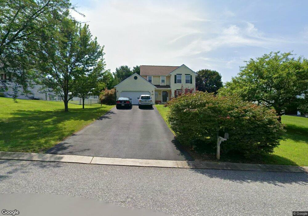
238 Clear Branch Dr Stewartstown, PA 17363
Estimated Value: $377,656 - $458,000
3
Beds
3
Baths
1,748
Sq Ft
$243/Sq Ft
Est. Value
About This Home
This home is located at 238 Clear Branch Dr, Stewartstown, PA 17363 and is currently estimated at $424,914, approximately $243 per square foot. 238 Clear Branch Dr is a home located in York County with nearby schools including South Eastern Intermediate School, South Eastern Middle School, and Kennard-Dale High School.
Ownership History
Date
Name
Owned For
Owner Type
Purchase Details
Closed on
Sep 30, 2002
Sold by
Mcdermott John E and Mcdermott Kristin Z
Bought by
Dewit Edward A and Dewit Grace B
Current Estimated Value
Home Financials for this Owner
Home Financials are based on the most recent Mortgage that was taken out on this home.
Original Mortgage
$151,900
Outstanding Balance
$64,195
Interest Rate
6.27%
Estimated Equity
$360,719
Purchase Details
Closed on
Mar 3, 1997
Bought by
Mcdermott John E
Create a Home Valuation Report for This Property
The Home Valuation Report is an in-depth analysis detailing your home's value as well as a comparison with similar homes in the area
Home Values in the Area
Average Home Value in this Area
Purchase History
| Date | Buyer | Sale Price | Title Company |
|---|---|---|---|
| Dewit Edward A | $189,900 | -- | |
| Mcdermott John E | $146,400 | -- |
Source: Public Records
Mortgage History
| Date | Status | Borrower | Loan Amount |
|---|---|---|---|
| Open | Dewit Edward A | $151,900 | |
| Closed | Dewit Edward A | $27,450 |
Source: Public Records
Tax History Compared to Growth
Tax History
| Year | Tax Paid | Tax Assessment Tax Assessment Total Assessment is a certain percentage of the fair market value that is determined by local assessors to be the total taxable value of land and additions on the property. | Land | Improvement |
|---|---|---|---|---|
| 2025 | $6,097 | $207,650 | $45,030 | $162,620 |
| 2024 | $6,097 | $207,650 | $45,030 | $162,620 |
| 2023 | $6,097 | $207,650 | $45,030 | $162,620 |
| 2022 | $6,097 | $207,650 | $45,030 | $162,620 |
| 2021 | $5,889 | $207,650 | $45,030 | $162,620 |
| 2020 | $5,889 | $207,650 | $45,030 | $162,620 |
| 2019 | $5,868 | $207,650 | $45,030 | $162,620 |
| 2018 | $5,868 | $207,650 | $45,030 | $162,620 |
| 2017 | $5,868 | $207,650 | $45,030 | $162,620 |
| 2016 | $0 | $207,650 | $45,030 | $162,620 |
| 2015 | -- | $207,650 | $45,030 | $162,620 |
| 2014 | -- | $207,650 | $45,030 | $162,620 |
Source: Public Records
Map
Nearby Homes
- 231 Cool Spring Ln
- 4341 Forbes Dr
- 4303 Forbes Dr
- 13 Baneberry St
- 103 Hershey Cir
- 9 W Pennsylvania Ave
- 2 S Main St
- 17 Charles Ave
- 82 Piston Ct
- 94 Piston Ct
- 150 Patterson Dr Unit 47
- 10 Black Oak Ct
- 160 Patterson Dr Unit 48
- 180 Patterson Dr Unit 50
- 0 Five Forks Rd Unit PAYK2095070
- 0 Five Forks Rd Unit PAYK2095050
- 18007 Dave Anne Cir
- 18010 Dave Anne Cir
- 18183 Piedmont Rd
- 0 Bridgeview Rd Unit PAYK2080146
- 234 Clear Branch Dr
- 242 Clear Branch Dr
- 4523 Bridgeview Rd
- 4493 Bridgeview Rd
- 246 Clear Branch Dr
- 4547 Bridgeview Rd
- 230 Clear Branch Dr
- 4471 Bridgeview Rd
- 241 Clear Branch Dr
- 4567 Bridgeview Rd
- Lot Bridgeview Rd
- 2937 Bridgeview Rd
- 226 Clear Branch Dr
- 229 Clear Branch Dr
- 247 Clear Branch Dr
- 4508 Bridgeview Rd
- 4480 Bridgeview Rd
- 4524 Bridgeview Rd
- 4548 Bridgeview Rd