Estimated Value: $442,450 - $484,000
2
Beds
3
Baths
2,133
Sq Ft
$217/Sq Ft
Est. Value
About This Home
This home is located at 238 Fox Run, Exton, PA 19341 and is currently estimated at $462,613, approximately $216 per square foot. 238 Fox Run is a home located in Chester County with nearby schools including Mary C Howse Elementary School, E.N. Peirce Middle School, and Henderson High School.
Ownership History
Date
Name
Owned For
Owner Type
Purchase Details
Closed on
Apr 15, 2023
Sold by
Nyland Brad P
Bought by
Nyland Dorothy J
Current Estimated Value
Purchase Details
Closed on
Jan 24, 2003
Sold by
Arnette Susan L
Bought by
Nyland Brad P and Hankinson Dorothy J
Home Financials for this Owner
Home Financials are based on the most recent Mortgage that was taken out on this home.
Original Mortgage
$184,000
Interest Rate
5.95%
Purchase Details
Closed on
Sep 6, 1994
Sold by
Bodo Louis and Bodo Gizella
Bought by
Arnette Susan L
Home Financials for this Owner
Home Financials are based on the most recent Mortgage that was taken out on this home.
Original Mortgage
$114,650
Interest Rate
5.75%
Create a Home Valuation Report for This Property
The Home Valuation Report is an in-depth analysis detailing your home's value as well as a comparison with similar homes in the area
Home Values in the Area
Average Home Value in this Area
Purchase History
| Date | Buyer | Sale Price | Title Company |
|---|---|---|---|
| Nyland Dorothy J | $11,275 | None Listed On Document | |
| Nyland Brad P | $230,000 | -- | |
| Arnette Susan L | $152,900 | -- |
Source: Public Records
Mortgage History
| Date | Status | Borrower | Loan Amount |
|---|---|---|---|
| Previous Owner | Nyland Brad P | $184,000 | |
| Previous Owner | Arnette Susan L | $114,650 | |
| Closed | Nyland Brad P | $34,500 |
Source: Public Records
Tax History
| Year | Tax Paid | Tax Assessment Tax Assessment Total Assessment is a certain percentage of the fair market value that is determined by local assessors to be the total taxable value of land and additions on the property. | Land | Improvement |
|---|---|---|---|---|
| 2025 | $3,974 | $137,090 | $23,440 | $113,650 |
| 2024 | $3,974 | $137,090 | $23,440 | $113,650 |
| 2023 | $3,798 | $137,090 | $23,440 | $113,650 |
| 2022 | $3,746 | $137,090 | $23,440 | $113,650 |
| 2021 | $3,691 | $137,090 | $23,440 | $113,650 |
| 2020 | $3,667 | $137,090 | $23,440 | $113,650 |
| 2019 | $3,614 | $137,090 | $23,440 | $113,650 |
| 2018 | $3,533 | $137,090 | $23,440 | $113,650 |
| 2017 | $3,453 | $137,090 | $23,440 | $113,650 |
| 2016 | $2,921 | $137,090 | $23,440 | $113,650 |
| 2015 | $2,921 | $137,090 | $23,440 | $113,650 |
| 2014 | $2,921 | $137,090 | $23,440 | $113,650 |
Source: Public Records
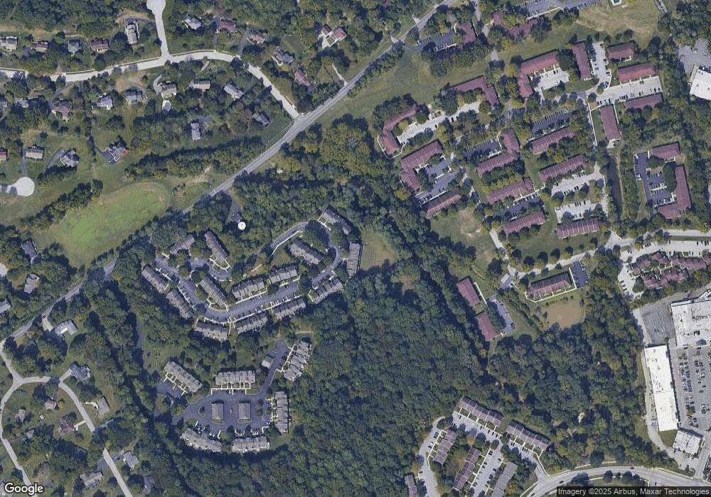
Map
Nearby Homes
- 212 Cambridge Chase Unit 13
- 300 Bell Ct
- 301 Jennifer Ln
- 411 Forge Ln
- 305 Concord Ave
- 217 Namar Ave
- 218 Hendricks Ave
- 524 E Saxony Dr Unit 524
- 167 Brazier Ln
- 532 Westfield Dr
- 301 Worthington Dr Unit 301
- 51 Oakland Dr
- 119 Conway Ct
- 143 Birchwood Dr
- 720 Brainerd Rd
- 236 Silverbell Ct
- 1556 S Whitford Rd
- 207 Lucy Cir
- 233 Coffman Dr
- 233 Lucy Cir
Your Personal Tour Guide
Ask me questions while you tour the home.